Old Maps of Glenview, Topanga for Hiking & Exploration
Hike through history with 19 historic maps of Glenview. Explore old trails, ghost towns, and forgotten backroads — perfect for outdoor adventurers and local explorers.
- Rediscover forgotten places: Map out old mining camps, roads, and footpaths that no longer exist on modern maps.
- Layer with modern tools: Combine with LiDAR or satellite views to plan hikes through historical terrain.
- Made for exploration: Popular among hikers, overlanders, and local history lovers.
Use these maps to find adventure and explore the hidden past of Glenview.
Glenview, Topanga maps
(19)- 1903 Map of Calabasas
 1903 Calabasas1903 Print · USGSThe northern reaches of the Santa Monica Mountains and the western San Fernando Valley are shown here at the turn of the century. Genealogists and historians can trace early ranch boundaries like Encino and Las Virgenes, or locate the original sites of Grape Arbor and the Chatsworth Park Branch railroad.8 unique versions available
 - 1903 Map of Camulos
 1903 Camulos1903 Print · USGSSouthern California at the dawn of the twentieth century shows a landscape of ranchos and early rail towns. Trace the old routes through Simi and Camulos, or locate vanished stops like Ternez Siding and the coastal piers at Port Los Angeles.5 unique versions available
 - 1928 Map of Dry Canyon
 1928 Dry Canyon1928 Print · USGSThe western edge of the San Fernando Valley appears here in the late twenties, balancing between historic ranch lands and early townsite development. Trace the early streets of Owensmouth and Girard, or locate the rural Calabasas School and the original path of Mulholland Highway.
 - 1929 Map of Dry Canyon
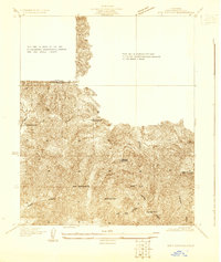 1929 Dry Canyon1929 Print · USGSLos Angeles County canyon country appears here in the late twenties, during a period of early mountain settlement and survey refinement. Researchers can locate family landmarks like Calabasas Highlands, the Calabasas Sch, and early trail hubs such as Brents Junction.
 - 1932 Map of Dry Canyon
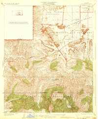 1932 Dry Canyon1932 Print · USGSThe western San Fernando Valley appears in the early thirties as a landscape of large ranchos and nascent mountain communities. Genealogists and historians can trace the early footprints of Calabasas, the rural Calabasas School, and the winding Mulholland Highway.3 unique versions available
 - 1944 Map of Calabasas
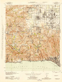 1944 Calabasas1944 Print · USGSMid-century Los Angeles County unfolds here, showing the grid of the San Fernando Valley meeting the Santa Monica Mountains. Trace old ranch boundaries at Platt Ranch or locate early landmarks like the Will Rogers Memorial and Topanga Lookout.
 - 1949 Map of Los Angeles
 1949 Los Angeles1949 Print · USGSSouthern California and the South Coast appear at the onset of the post-war boom, from the Channel Islands to the Mojave Desert. Trace early aviation sites like Lockheed Air Terminal and mining history at the Redrock Quicksilver Mine and Redrover Mine.2 unique versions available
 - 1952 Map of Topanga, 1953 Print
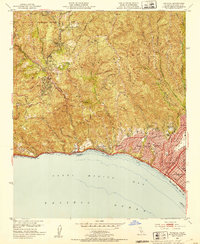 1952 Topanga1953 Print · USGSCoastal Los Angeles and the adjacent canyon country appear in the early fifties as the region began its mid-century transformation. Researchers can trace the development of Pacific Palisades, the grounds of Will Rogers State Park, and rural landmarks like Trippet Ranch.8 unique versions available
 - 1955 Map of Los Angeles
 1955 Los Angeles1955 Print · USGSThe mid-century transformation of Southern California comes into focus as the urban sprawl of Los Angeles meets the wilderness of the Santa Monica Mountains. Researchers can trace the development of post-war suburbs alongside historic landmarks like the Santa Barbara Lighthouse and early industrial sites such as the Good Luck Mine.
 - 1959 Map of Los Angeles
 1959 Los Angeles1959 Print · USGSCoastal California and the high desert met in a period of booming growth after the war. Researchers can trace early aviation and military history at the Point Mugu Air Missile Test Ctr or locate desert mining sites like the Double Eagle Mine.3 unique versions available
 - 1966 Map of Los Angeles
 1966 Los Angeles1966 Print · USGSSouthern California underwent a mid-century transformation as suburban grids reached the base of the San Gabriel Mountains. Researchers can trace the path of the Los Angeles Aqueduct or locate defense landmarks like Edwards Air Force Base.
 - 1975 Map of Los Angeles, 1977 Print
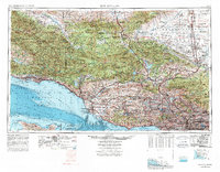 1975 Los Angeles1977 Print · USGSSouthern California is captured in a period of significant growth during the mid-seventies, showing the urban sprawl from the coast to the high desert. Researchers can trace the development of the Pacific Coast Hwy and find aerospace landmarks like Edwards Air Force Base and the Flight Test Center (NASA).2 unique versions available
 - 1976 Map of Topanga, 1981 Print
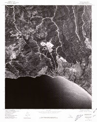 1976 Topanga1981 Print · USGSPacific Palisades and the Santa Monica Mountains are seen from the air in the mid-seventies, showing the expansion of coastal neighborhoods. Trace mid-century development patterns across Pacific Palisades, Fernwood, and Topanga.
 - 1979 Map of Los Angeles
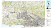 1979 Los Angeles1979 Print · USGSSouthern California at the close of the 1970s reveals a sprawling network of suburban growth and massive infrastructure projects. Researchers can trace established rail lines like the Southern Pacific alongside newer settlements and landmarks like Virginia Colony and Griffith Park.
 - 1991 Map of Topanga, 1995 Print
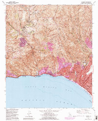 1991 Topanga1995 Print · USGSCoastal Los Angeles meets the steep Santa Monica Mountains in the early nineties, where dense seaside neighborhoods contrast with rugged canyon life. Local historians can trace the foundations of Pacific Palisades or locate landmarks like Trippet Ranch and Camp Josepho.2 unique versions available
 - 2012 Map of Topanga, 2012 Print
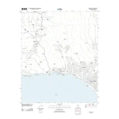 2012 Topanga2012 Print · USGSThe Santa Monica Mountains and the Pacific coastline are shown in high detail during the early 2010s. Researchers can trace local landmarks like Will Rogers Ranch, the early film history site of Inceville, and the developed canyons of Topanga and Fernwood.
 - 2015 Map of Topanga, 2015 Print
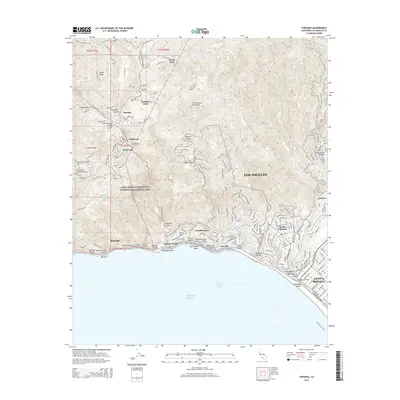 2015 Topanga2015 Print · USGSThe Santa Monica Mountains met the Pacific shoreline in the mid-2010s, showing a landscape defined by deep canyons and coastal bluffs. Trace the residential winding roads of Topanga Oaks and Fernwood, or explore the historic coastal developments at Inceville and Castellammare.
 - 2018 Map of Topanga, 2018 Print
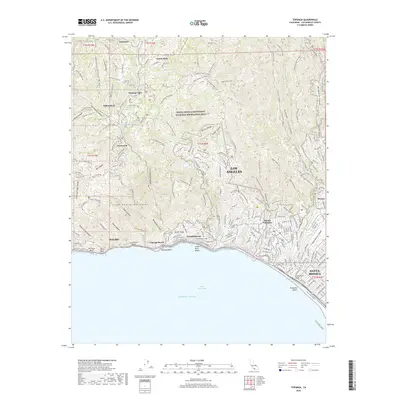 2018 Topanga2018 Print · USGSThe Santa Monica Mountains meet the Pacific shoreline in the late 2010s, showcasing the high-elevation neighborhoods and canyon trails of coastal Los Angeles. Trace the winding streets of Topanga and Pacific Palisades or locate landmarks like Parker Mesa and Inspiration Point.
 - 2022 Map of Topanga, 2022 Print
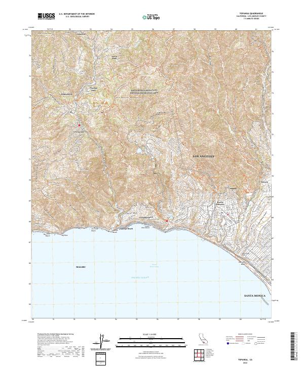 2022 Topanga2022 Print · USGSThe coastal canyons and mountain ridges of West Los Angeles are documented here in recent detail. You can trace modern access routes and neighborhood boundaries in Fernwood, Castellammare, and the canyon-side community of Topanga Oaks.
End of results
Showing maps 1-19 of 19
Top cities near Glenview
- Los Angeles historical maps
- Santa Clarita historical maps
- Thousand Oaks historical maps
- Simi Valley historical maps
- Inglewood historical maps
- Santa Monica historical maps
See more
Frequently asked questions
- What are the different types of historical maps available for Glenview?
- What is the oldest map of Glenview?
- Where can I purchase historical maps of Glenview for my home or office?
- Where can I download high-res historical maps of Glenview?
- Are there historical topographic maps available for Glenview?
- Is there historical aerial imagery available for Glenview?
- Where are historical maps of Glenview sourced from?