2000s (21st Century) Maps of Greeley Hill, California
Explore 5 historic maps of Greeley Hill from the 2000s (21st Century). These maps offer a rare glimpse into what life looked like during the 2000s — showing old roads, neighborhoods, homes, and landmarks that have changed or disappeared over time.
Whether you're researching your family's past, planning a metal detecting trip, or studying how Greeley Hill's landscape evolved across the 2000s, these high-resolution maps are a powerful tool for exploring the history of this region.
- Focus on a specific era: All maps on this page are from the 2000s, giving you a focused view of this time period.
- See what’s changed: Compare century-old streets, trails, and buildings to today's modern landscape using overlays and satellite layers.
- Research with precision: Use these maps for genealogy, historical research, land use analysis, or educational projects.
- View, download, or print: Maps are fully viewable online in high resolution, and can be downloaded or printed for your own records.
Start exploring Greeley Hill's history through authentic maps from the 2000s. This is your window into the past.
Greeley Hill, CA maps
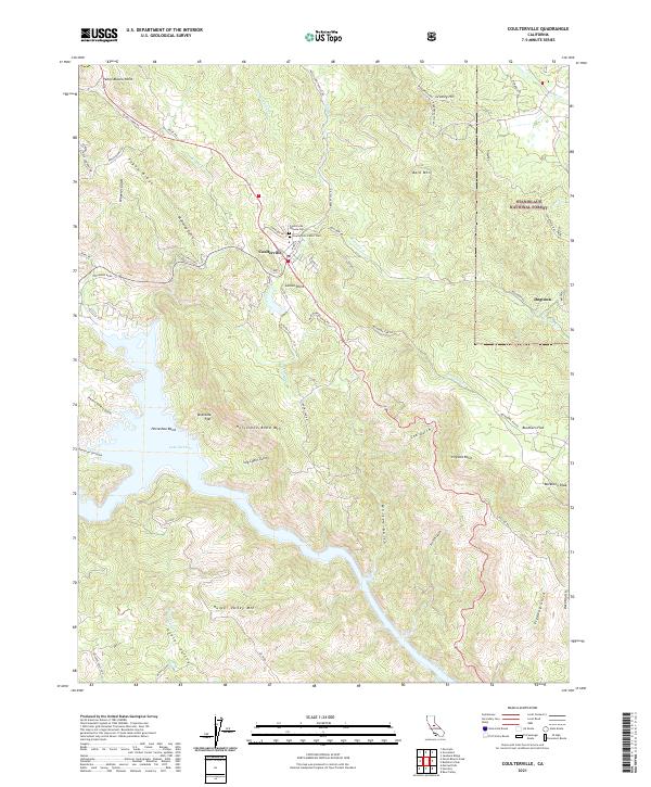
(5)- 2001 Map of Coulterville, 2004 Print
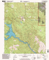 2001 Coulterville2004 Print · USGSThe Mother Lode foothills around Coulterville and Greeley Hill are shown here as they appeared at the start of the new millennium. Researchers can trace historic mining sites like the Mary Harrison Mine, locate the local cemetery, and follow the winding shoreline of Lake McClure.2 unique versions available
 - 2012 Map of Coulterville, 2012 Print
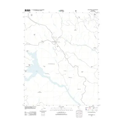 2012 Coulterville2012 Print · USGSCovers Greeley Hill, including Coulterville, Dogtown, and other nearby areas
 - 2015 Map of Coulterville, 2015 Print
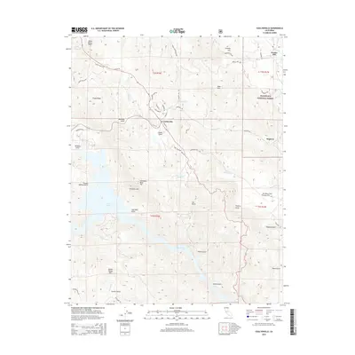 2015 Coulterville2015 Print · USGSCovers Greeley Hill, including Coulterville, Dogtown, and other nearby areas
 - 2018 Map of Coulterville, 2018 Print
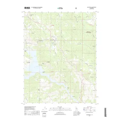 2018 Coulterville2018 Print · USGSCovers Greeley Hill, including Coulterville, Dogtown, and other nearby areas
 - 2021 Map of Coulterville, 2021 Print
 2021 Coulterville2021 Print · USGSMariposa County's rugged Mother Lode country comes into focus in this recent survey of the hills surrounding Coulterville. Local history enthusiasts can trace the old road to Dogtown, locate the Coulterville Chinese Cem, and follow the contours of Lake McClure near Horseshoe Bend.
End of results
Showing maps 1-5 of 5
Top cities near Greeley Hill
Frequently asked questions
- What are the different types of historical maps available for Greeley Hill?
- What is the oldest map of Greeley Hill?
- Where can I purchase historical maps of Greeley Hill for my home or office?
- Where can I download high-res historical maps of Greeley Hill?
- Are there historical topographic maps available for Greeley Hill?
- Is there historical aerial imagery available for Greeley Hill?
- Where are historical maps of Greeley Hill sourced from?