Old Maps of Mount Bullion, California for Academic Research
Study the evolution of Mount Bullion with 16 high-resolution historic maps. Whether you're teaching, researching, or modeling changes in land use, these maps provide essential visual documentation of urban, environmental, and geographic change.
- Analyze long-term change: Track patterns in development, transportation, and natural features.
- Ideal for environmental or urban studies: Support academic projects with primary historical map data.
- Use in the classroom or lab: Educators and researchers rely on these maps to bring historical context to life.
These maps are a powerful tool for teaching, research, and visualizing how Mount Bullion has changed over the decades.
Mount Bullion, CA maps
(16)- 1893 Map of Sonora
 1893 Sonora1893 Print · USGSThe Mother Lode region comes alive in the early 1890s, showing a landscape defined by mining camps and early river crossings before the big dams. Genealogists and historians can trace old settlements like Chinese Camp and Big Oak Flat, or locate industrial sites like the Olsen Mine and Hobron Mill.
 - 1896 Map of Sonora
 1896 Sonora1896 Print · USGSThe Mother Lode gold country is shown in the late nineteenth century as mining towns and river crossings defined the Sierra Nevada foothills. Genealogists and researchers can trace early routes through Chinese Camp and Coulterville, or locate industrial sites like the Red Cloud Mine and Benton Mill.
 - 1897 Map of Sonora
 1897 Sonora1897 Print · USGSThe Mother Lode region at the close of the nineteenth century is revealed here through its gold-country towns and rugged mining infrastructure. Trace the early footprints of Sonora, Coulterville, and Hornitos alongside sites like the Red Cloud Mine and Ward Ferry.8 unique versions available
 - 1898 Map of Sonora, 1932 Print
 1898 Sonora1932 Print · USGSThe Mother Lode region at the close of the nineteenth century reveals a complex world of river dams and mining camps. Genealogists can trace family names at Chinese Camp or Soulsbyville and locate early industry at the Red Cloud Mine and Bandarita Mine.
 - 1947 Map of San Jose, 1948 Print
 1947 San Jose1948 Print · USGSNorthern California's heartland is captured here just after the war, showing the rapid growth of the Santa Clara and Central Valleys. Researchers can trace the legacy of rail and water at Castle Air Force Base, Stockton, and the Hetch Hetchy Aqueduct.
 - 1947 Map of Coulterville, 1953 Print
 1947 Coulterville1953 Print · USGSIn the late 1940s, this portion of the Mother Lode still shows a landscape dense with gold mining and ranching activity. Researchers can trace the heritage of Coulterville and Hornitos or locate numerous historic workings like the Mary Harrison Mine and Red Cloud Mines.4 unique versions available
 - 1947 Map of Bear Valley, 1968 Print
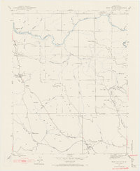 1947 Bear Valley1968 Print · USGSMariposa County in the late 1940s reveals a landscape shaped by historical mining operations and the Merced River canyon. Local historians can trace family ties to Mt Bullion, locate the Bear Valley Sch, or map the many lodes including the Josephine Mine and Golden Key Mine.5 unique versions available
 - 1948 Map of Bear Valley
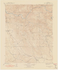 1948 Bear Valley1948 Print · USGSMariposa County's gold-mining heartland is captured here in the late 1940s as the landscape transitioned from hard-rock mining to modern infrastructure. Genealogists and historians can trace family-named sites like Trabucco Gardens, Mt Ophir, and the Bear Valley Sch.2 unique versions available
 - 1956 Map of San Jose
 1956 San Jose1956 Print · USGSCentral California in the mid-fifties reveals the transition from sprawling orchards to growing urban hubs like San Jose and Stockton. Genealogists and historians can trace the rail-era landscape of the Mother Lode through Chinese Camp and Tuttletown, or follow the water through the Joaquin River and Calaveras Reservoir.
 - 1962 Map of San Jose
 1962 San Jose1962 Print · USGSCentral California in the early sixties showcases the expansion of the San Joaquin and Santa Clara valleys. Researchers can trace the rail-to-road transition along the Southern Pacific RR or locate landmarks like Castle USAF Base and Loma Prieta.4 unique versions available
 - 1966 Map of San Jose
 1966 San Jose1966 Print · USGSCentral California in the mid-1960s reveals a landscape of massive irrigation projects and expanding Cold War military footprints. Researchers can trace the rail-and-river network of the San Joaquin Valley or locate specialized sites like Castle Air Force Base and the Sharp General Depot (Military).
 - 1994 Map of Oakdale, 1995 Print
 1994 Oakdale1995 Print · USGSThe San Joaquin Valley meets the Sierra foothills in the mid-1990s, where massive reservoirs and canal networks fueled California's agricultural heartland. Researchers can trace the Hetch Hetchy Aqueduct, find the Sierra RR, and locate the Riverbank Army Ammunition Plant.2 unique versions available
 - 2012 Map of Bear Valley, 2012 Print
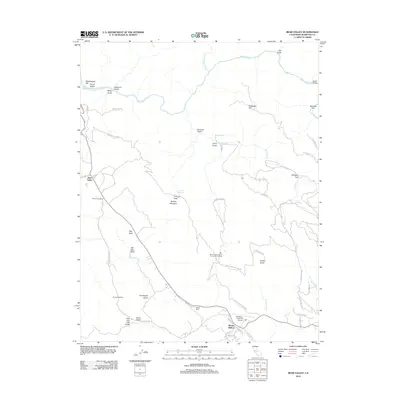 2012 Bear Valley2012 Print · USGSMariposa County foothills are mapped here during the early twenty-first century, showing the intersection of historical mining terrain and modern aviation. Researchers can trace land features from Bullion Mountain to Whiskey Flat and locate the Mariposa-Yosemite Airport.
 - 2015 Map of Bear Valley, 2015 Print
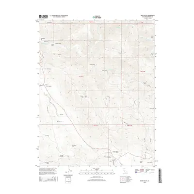 2015 Bear Valley2015 Print · USGSMariposa County foothills near the Merced River are documented in this mid-2010s survey, showing the transition from valley to high ridges. Local historians can trace old thoroughfares like Old Toll Rd and find landmarks such as Fremont Peak and the settlement at Mount Bullion.
 - 2018 Map of Bear Valley, 2018 Print
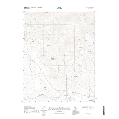 2018 Bear Valley2018 Print · USGSMariposa County's gold country is revealed in this modern survey of the canyons and peaks surrounding the Bear Valley and Mount Bullion settlements. Researchers can trace historic access routes like Mt Ophir Rd and locate landmarks such as Fremont Peak or the Mariposa-Yosemite Airport.
 - 2021 Map of Bear Valley, 2021 Print
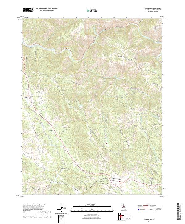 2021 Bear Valley2021 Print · USGSMariposa County’s high country near Bear Valley is shown in detail during the early 2020s, highlighting the area’s rugged mining-era geography. Researchers can trace historic routes like the Old Toll Rd and locate local landmarks such as Bullion Mtn and the Bear Valley IOOF Cem.
End of results
Showing maps 1-16 of 16
Frequently asked questions
- What are the different types of historical maps available for Mount Bullion?
- What is the oldest map of Mount Bullion?
- Where can I purchase historical maps of Mount Bullion for my home or office?
- Where can I download high-res historical maps of Mount Bullion?
- Are there historical topographic maps available for Mount Bullion?
- Is there historical aerial imagery available for Mount Bullion?
- Where are historical maps of Mount Bullion sourced from?