Old Maps of Laytonville, California for Metal Detecting
Plan your next treasure hunt with 9 historic maps of Laytonville. Find old homesites, ghost towns, trails, and gathering spots that may be lost to time — perfect for identifying promising metal detecting locations.
- Locate forgotten sites: Uncover places like long-lost settlements, abandoned rail lines, or gathering spots.
- Plan better hunts: Use map overlays combined with LiDAR or satellite views to narrow in on historically rich areas.
- Made for detectorists: Thousands of hobbyists use these maps to discover relics, coins, and hidden history.
Use these historic maps to boost your research and find new opportunities beneath the surface of Laytonville.
Laytonville, CA maps
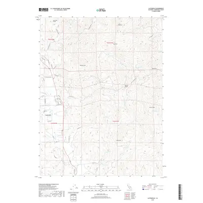
(9)- 1951 Map of Laytonville, 1953 Print
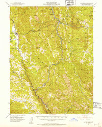 1951 Laytonville1953 Print · USGSMendocino County's northern interior is captured here in the early fifties as a landscape of remote river canyons and scattered rancherias. Researchers can trace the path of the Northwestern Pacific RR through Dos Rios or find local landmarks like Laytonville Rancheria and Longvale.5 unique versions available
 - 1957 Map of Ukiah, 1966 Print
 1957 Ukiah1966 Print · USGSNorthern California's diverse terrain comes into focus in the mid-1950s, from the rugged timberlands of the Jackson State Forest to the productive Sacramento Valley. Genealogists and historians can trace the rail lines of the Northwestern Pacific or locate early valley settlements like Arbuckle and Paskenta.3 unique versions available
 - 1960 Map of Ukiah
 1960 Ukiah1960 Print · USGSNorthern California during the late fifties reveals a landscape of deep timber forests and valley agriculture before modern expansion. Trace the historic rail lines of the California Western RR and the Northwestern Pacific RR through settlements like Fort Bragg and Ukiah.2 unique versions available
 - 1967 Map of Laytonville, 1969 Print
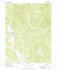 1967 Laytonville1969 Print · USGSMendocino County life in the late sixties centers on the valley floor and its surrounding peaks. Researchers can trace the layout of Laytonville and the Laytonville Rancheria, or locate rural landmarks like Cahto and the Sloan Landing Strip.3 unique versions available
 - 1981 Map of Covelo
 1981 Covelo1981 Print · USGSIn the early 1980s, Mendocino County's interior and coastline remained a patchwork of tribal lands and timber outposts. Trace the Northwestern Pacific rail line and discover the boundaries of the Round Valley Indian Reservation Boundary and Covelo.2 unique versions available
 - 2012 Map of Laytonville, 2012 Print
 2012 Laytonville2012 Print · USGSCovers Laytonville, including Mendocino County, United States, and other nearby areas
 - 2015 Map of Laytonville, 2015 Print
 2015 Laytonville2015 Print · USGSCovers Laytonville, including Mendocino County, United States, and other nearby areas
 - 2018 Map of Laytonville, 2018 Print
 2018 Laytonville2018 Print · USGSCovers Laytonville, including Mendocino County, United States, and other nearby areas
 - 2021 Map of Laytonville, 2021 Print
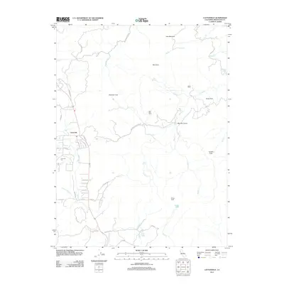
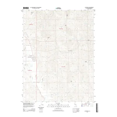
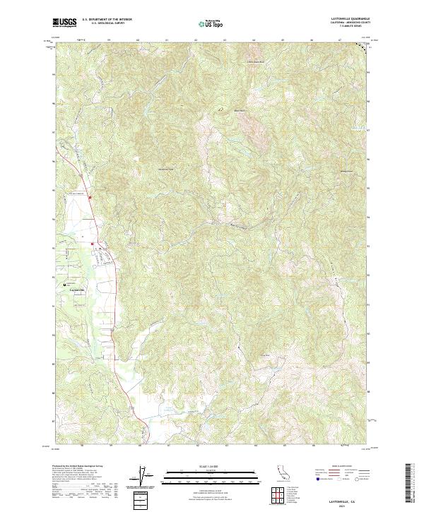 2021 Laytonville2021 Print · USGSThe Mendocino County high country comes into focus here, showing the rural community of Laytonville just as the modern road network matured. Genealogists can locate the Laytonville Cem and family landmarks like Holmen Ridge or Woodman Peak.
End of results
Showing maps 1-9 of 9
Frequently asked questions
- What are the different types of historical maps available for Laytonville?
- What is the oldest map of Laytonville?
- Where can I purchase historical maps of Laytonville for my home or office?
- Where can I download high-res historical maps of Laytonville?
- Are there historical topographic maps available for Laytonville?
- Is there historical aerial imagery available for Laytonville?
- Where are historical maps of Laytonville sourced from?