2000s (21st Century) Maps of Potter Valley, California
Explore 8 historic maps of Potter Valley from the 2000s (21st Century). These maps offer a rare glimpse into what life looked like during the 2000s — showing old roads, neighborhoods, homes, and landmarks that have changed or disappeared over time.
Whether you're researching your family's past, planning a metal detecting trip, or studying how Potter Valley's landscape evolved across the 2000s, these high-resolution maps are a powerful tool for exploring the history of this region.
- Focus on a specific era: All maps on this page are from the 2000s, giving you a focused view of this time period.
- See what’s changed: Compare century-old streets, trails, and buildings to today's modern landscape using overlays and satellite layers.
- Research with precision: Use these maps for genealogy, historical research, land use analysis, or educational projects.
- View, download, or print: Maps are fully viewable online in high resolution, and can be downloaded or printed for your own records.
Start exploring Potter Valley's history through authentic maps from the 2000s. This is your window into the past.
Potter Valley, CA maps
(8)- 2012 Map of Redwood Valley, 2012 Print
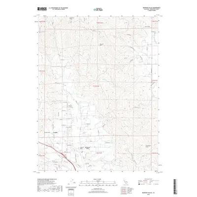
 2012 Redwood Valley2012 Print · USGSCovers Potter Valley, including Redwood Valley, Mendocino County, and other nearby areas
 - 2012 Map of Potter Valley, 2012 Print
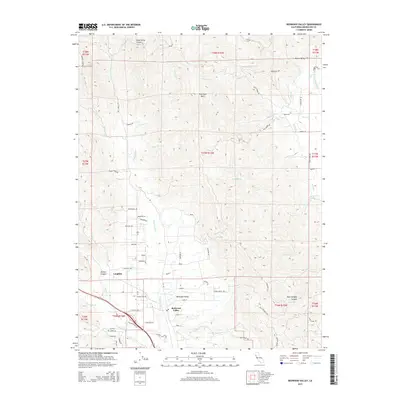
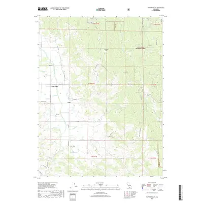
 2012 Potter Valley2012 Print · USGSCovers Potter Valley, including Lake County, Mendocino County, and other nearby areas
 - 2015 Map of Potter Valley, 2015 Print
 2015 Potter Valley2015 Print · USGSCovers Potter Valley, including Lake County, Mendocino County, and other nearby areas
 - 2015 Map of Redwood Valley, 2015 Print
 2015 Redwood Valley2015 Print · USGSCovers Potter Valley, including Redwood Valley, Mendocino County, and other nearby areas
 - 2018 Map of Potter Valley, 2018 Print
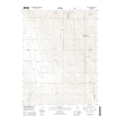
 2018 Potter Valley2018 Print · USGSCovers Potter Valley, including Lake County, Mendocino County, and other nearby areas
 - 2018 Map of Redwood Valley, 2018 Print
 2018 Redwood Valley2018 Print · USGSCovers Potter Valley, including Redwood Valley, Mendocino County, and other nearby areas
 - 2021 Map of Potter Valley, 2021 Print
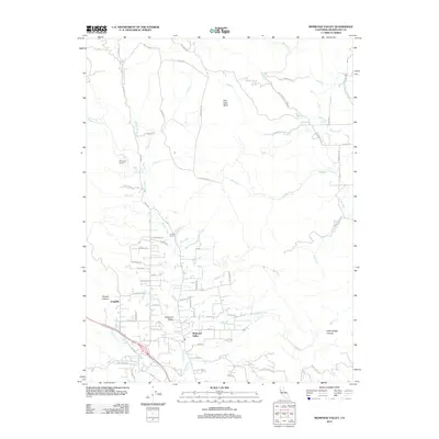
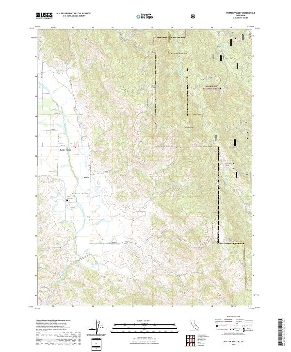 2021 Potter Valley2021 Print · USGSPotter Valley and the rural settlement of Pomo are documented here in the early twenty-first century as the valley floor transitions into the national forest. Researchers can trace local landmarks like Potter Valley Cem and irrigation works like the Powerhouse Canal and E Canal.
 - 2021 Map of Redwood Valley, 2021 Print
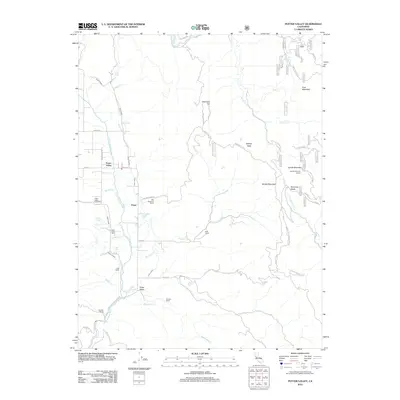
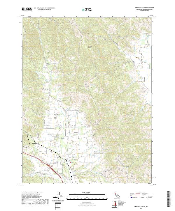 2021 Redwood Valley2021 Print · USGSThe Redwood Valley and Russian River watershed are captured in the early 2020s, showcasing a landscape of canyons and agricultural settlement. Researchers can trace family sites near Redwood Valley Cem or explore landmarks like Laughlin and Dead Horse Canyon.
End of results
Showing maps 1-8 of 8
Top cities near Potter Valley
- Ukiah historical maps
- Willits historical maps
- Redwood Valley historical maps
- Talmage historical maps
- Talmage historical maps
- Ridgewood Ranch historical maps
Frequently asked questions
- What are the different types of historical maps available for Potter Valley?
- What is the oldest map of Potter Valley?
- Where can I purchase historical maps of Potter Valley for my home or office?
- Where can I download high-res historical maps of Potter Valley?
- Are there historical topographic maps available for Potter Valley?
- Is there historical aerial imagery available for Potter Valley?
- Where are historical maps of Potter Valley sourced from?