Old Maps of Potter Valley, California for Genealogy
Trace your family roots with 16 historic maps of Potter Valley. These high-res maps reveal old neighborhoods, homesites, landmarks, and streets — helping you uncover where your ancestors lived and how the area evolved over time.
- Explore historic neighborhoods: Identify where your relatives may have lived in the 1800s or 1900s.
- Compare maps over time: Trace the changes in streets, buildings, and landmarks for multi-generational research.
- Perfect for genealogy & ancestry research: Used by family historians and researchers to map out lineage and migration.
These maps are an incredible resource for exploring your personal connection to Potter Valley's past.
Potter Valley, CA maps
(16)- 1943 Map of Pomo, 1954 Print
 1943 Pomo1954 Print · USGSMendocino County's ranching and irrigation landscapes are captured here during the 1940s, showcasing the development of Potter Valley. Genealogists and historians can locate family lands like Mewhinney Ranch alongside the Pomo Indian Reservation and the Emandale Resort.
 - 1957 Map of Ukiah, 1966 Print
 1957 Ukiah1966 Print · USGSNorthern California's diverse terrain comes into focus in the mid-1950s, from the rugged timberlands of the Jackson State Forest to the productive Sacramento Valley. Genealogists and historians can trace the rail lines of the Northwestern Pacific or locate early valley settlements like Arbuckle and Paskenta.3 unique versions available
 - 1960 Map of Ukiah
 1960 Ukiah1960 Print · USGSNorthern California during the late fifties reveals a landscape of deep timber forests and valley agriculture before modern expansion. Trace the historic rail lines of the California Western RR and the Northwestern Pacific RR through settlements like Fort Bragg and Ukiah.2 unique versions available
 - 1960 Map of Potter Valley, 1961 Print
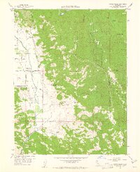 1960 Potter Valley1961 Print · USGSPotter Valley at the start of the 1960s was a thriving agricultural basin defined by its sophisticated water canals and family ranches. Researchers can locate the Pomo (Site), the Potter Valley Cem, and diverse mountain landmarks like Garrett Mtn Lookout.2 unique versions available
 - 1960 Map of Potter Valley, 1962 Print
 1960 Potter Valley1962 Print · USGSMendocino County's agricultural and river landscapes are captured here during the early sixties, showing the vital connections between the Eel and Russian River watersheds. Genealogists and local historians can trace family roots through the Potter Valley Rancheria, the Potter Valley Cem, and old settlements like Hearst and Pomo.2 unique versions available
 - 1960 Map of Redwood Valley, 1962 Print
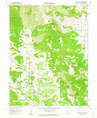 1960 Redwood Valley1962 Print · USGSThe Russian River valley in the early sixties shows a landscape of steady growth along the Northwestern Pacific railroad. Researchers can trace the boundaries of the Potter Valley Rancheria, locate the old Cem, and explore water systems like the Powerhouse Canal.3 unique versions available
 - 1981 Map of Ukiah
 1981 Ukiah1981 Print · USGSMendocino County’s timber and rail landscape is captured here in the early eighties, from the coastal lumber mills to the inland valleys. Trace the California Western Railroad and find settlements like Fort Bragg, Comptche, and Navarro.3 unique versions available
 - 1996 Map of Potter Valley, 2001 Print
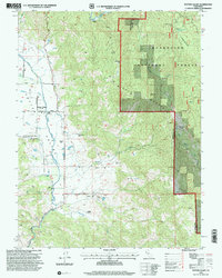 1996 Potter Valley2001 Print · USGSPotter Valley in the late twentieth century remains a landscape of traditional ranching and high-mountain forest. Trace family histories at Potter Valley Cem or explore the geography of Potter Valley Rancheria and Pomo (Site).
 - 2012 Map of Redwood Valley, 2012 Print
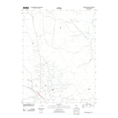 2012 Redwood Valley2012 Print · USGSRedwood Valley and the upper Russian River watershed are captured in detail during the early twenty-first century. Researchers can trace local property lines and water systems from Mariposa Ranch to the Powerhouse Canal and the community of Laughlin.
 - 2012 Map of Potter Valley, 2012 Print
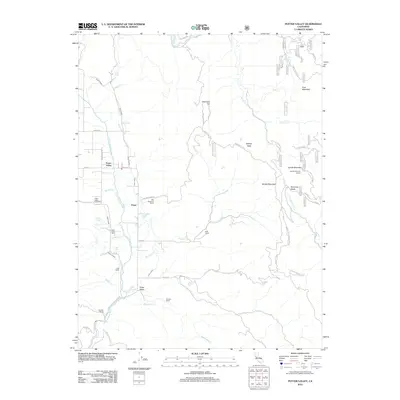 2012 Potter Valley2012 Print · USGSThe ranching and irrigation networks of Mendocino County are on full display in the early twenty-first century. Researchers can locate family landmarks like Fritsche Ranch, the Potter Valley Cem, and the historic Garrett Mountain Lookout.
 - 2015 Map of Potter Valley, 2015 Print
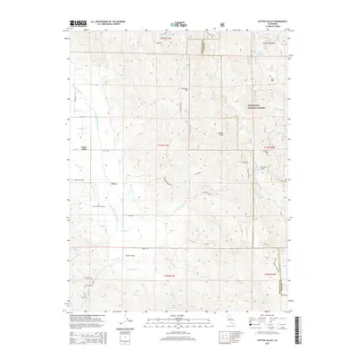 2015 Potter Valley2015 Print · USGSPotter Valley and the Pomo area are shown in detail during the mid-2010s, illustrating a specialized agricultural landscape defined by its irrigation canals. Genealogists and local historians can locate the Potter Valley Cemetery and trace land patterns near Irishmans Flat and Mewhinney Cr.
 - 2015 Map of Redwood Valley, 2015 Print
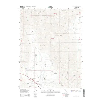 2015 Redwood Valley2015 Print · USGSRedwood Valley and the Russian River corridor are shown in the mid-2010s, capturing a mix of valley agriculture and ridge-top terrain. Researchers can trace the water systems of Powerhouse Canal, the settlement at Laughlin, and family landmarks like Webb Ranch Rd.
 - 2018 Map of Potter Valley, 2018 Print
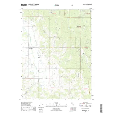 2018 Potter Valley2018 Print · USGSPotter Valley and the surrounding Mendocino highlands are mapped here during a period of modern water management and forest conservation. Researchers can trace the extensive Powerhouse Canal system or locate family sites near Pomo and the Potter Valley Cem.
 - 2018 Map of Redwood Valley, 2018 Print
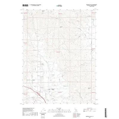 2018 Redwood Valley2018 Print · USGSRedwood Valley and the upper Russian River watershed are captured here during the late 2010s. Researchers can trace the agricultural footprint of Redwood Valley and Laughlin or locate rural landmarks like Hells Delight Canyon and the Powerhouse Canal.
 - 2021 Map of Potter Valley, 2021 Print
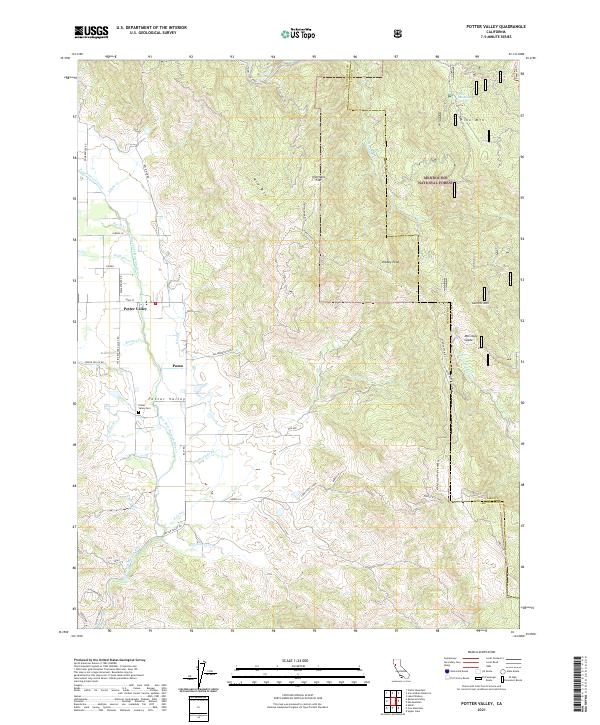 2021 Potter Valley2021 Print · USGSPotter Valley and the rural settlement of Pomo are documented here in the early twenty-first century as the valley floor transitions into the national forest. Researchers can trace local landmarks like Potter Valley Cem and irrigation works like the Powerhouse Canal and E Canal.
 - 2021 Map of Redwood Valley, 2021 Print
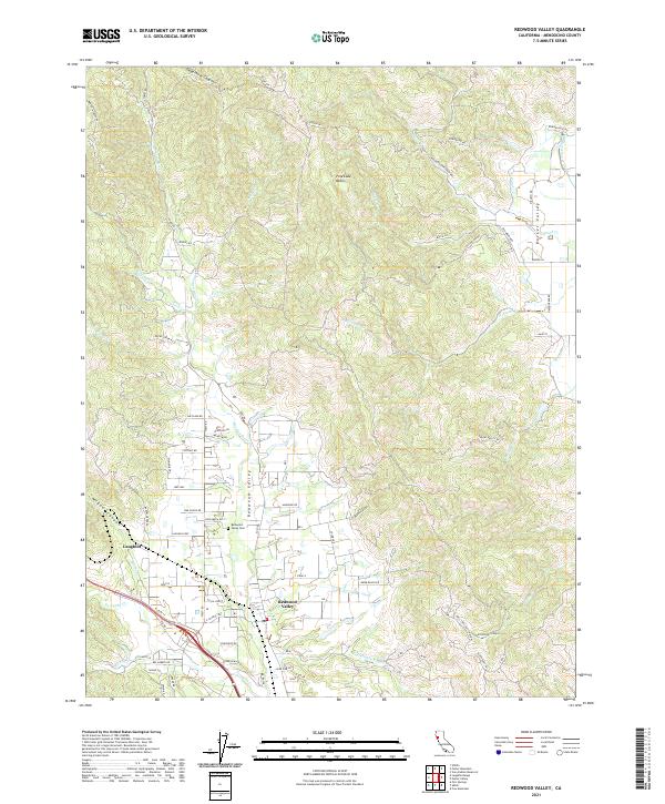 2021 Redwood Valley2021 Print · USGSThe Redwood Valley and Russian River watershed are captured in the early 2020s, showcasing a landscape of canyons and agricultural settlement. Researchers can trace family sites near Redwood Valley Cem or explore landmarks like Laughlin and Dead Horse Canyon.
End of results
Showing maps 1-16 of 16
Top cities near Potter Valley
- Ukiah historical maps
- Willits historical maps
- Redwood Valley historical maps
- Talmage historical maps
- Talmage historical maps
- Ridgewood Ranch historical maps
Frequently asked questions
- What are the different types of historical maps available for Potter Valley?
- What is the oldest map of Potter Valley?
- Where can I purchase historical maps of Potter Valley for my home or office?
- Where can I download high-res historical maps of Potter Valley?
- Are there historical topographic maps available for Potter Valley?
- Is there historical aerial imagery available for Potter Valley?
- Where are historical maps of Potter Valley sourced from?