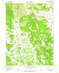
1960 Map of Redwood Valley
USGS Topo · Published 1962About this map
The Russian River carves a fertile path through this Mendocino County landscape, where agriculture and early infrastructure define the 1960s valley floor. The Northwestern Pacific railroad corridor serves as a primary axis for the settlements of Laughlin and Redwood Valley, connecting rural farmsteads to wider markets. Significant indigenous presence is documented through the Potter Valley Rancheria in the north and the Y O K A Y A Rancheria centrally located, indicating long-standing community sites. The eastern terrain is marked by a complex network of canyons and creeks, including Busch Creek and Williams Creek, while the Powerhouse Canal and Powerhouse Road reveal the technical development of local water resources. A small Cem and a Mine provide specific points of interest for genealogists and local historians tracking the early industrial and social foundations of the region.
Find a feature on this map
41 named features on this map. Tap any name to fly to it.
Don’t see what you’re looking for? This feature index may not catch every label — zoom into the map to look around manually.
Map Details
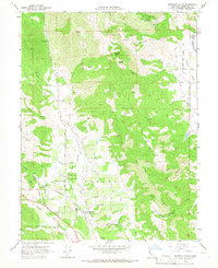
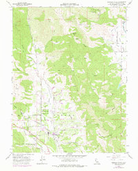
Editions of this 1960 Redwood Valley Map
3 editions found
Other maps of this area

1920 · Ukiah
USGS Topo · 1:62,500

1922 · Willits
USGS Topo · 1:62,500

1942 · Willits
USGS Topo · 1:62,500

1943 · Pomo
USGS Topo · 1:62,500

1943 · Boonville
USGS Topo · 1:62,500

1944 · Ukiah
USGS Topo · 1:62,500

1944 · Willits
USGS Topo · 1:62,500

1957 · Ukiah
USGS Topo · 1:250,000

1958 · Ukiah
USGS Topo · 1:24,000

1958 · Cow Mountain
USGS Topo · 1:24,000