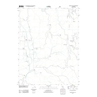
2012 Map of Potter Valley
USGS Topo · Published 2012About this map
Agricultural life and water management define this portion of Mendocino County, where the E Fork Russian River and an extensive irrigation system, including the East Canal and West Canal, support the valley floor. The settlement of Potter Valley serves as the central hub, surrounded by a landscape dotted with multi-generational family holdings such as the Ingle Ranch, Fritsche Ranch, and Guntley Ranch. These namesake properties underscore the area's long-standing ranching tradition.
Find a feature on this map
62 named features on this map. Tap any name to fly to it.
Don’t see what you’re looking for? This feature index may not catch every label — zoom into the map to look around manually.
Map Details
Editions of this 2012 Potter Valley Map
This is the sole edition of this map. No revisions or reprints were ever made.
Other maps of this area

1920 · Ukiah
USGS Topo · 1:62,500

1922 · Hullville
USGS Topo · 1:62,500

1938 · Lakeport
USGS Topo · 1:62,500

1943 · Pomo
USGS Topo · 1:62,500

1944 · Ukiah
USGS Topo · 1:62,500

1951 · Lake Pillsbury
USGS Topo · 1:62,500

1951 · Lakeport
USGS Topo · 1:62,500

1957 · Ukiah
USGS Topo · 1:250,000

1958 · Ukiah
USGS Topo · 1:24,000

1958 · Cow Mountain
USGS Topo · 1:24,000