Old Maps of Redwood Valley, California for Academic Research
Study the evolution of Redwood Valley with 18 high-resolution historic maps. Whether you're teaching, researching, or modeling changes in land use, these maps provide essential visual documentation of urban, environmental, and geographic change.
- Analyze long-term change: Track patterns in development, transportation, and natural features.
- Ideal for environmental or urban studies: Support academic projects with primary historical map data.
- Use in the classroom or lab: Educators and researchers rely on these maps to bring historical context to life.
These maps are a powerful tool for teaching, research, and visualizing how Redwood Valley has changed over the decades.
Redwood Valley, CA maps
(18)- 1920 Map of Ukiah
 1920 Ukiah1920 Print · USGSMendocino County life centers on the Russian River valley during the years following the first World War. Family historians can locate specific homesteads like Roderis Ranch and trace rail operations at El Roble Siding or Clemhurst Spur.
 - 1943 Map of Pomo, 1954 Print
 1943 Pomo1954 Print · USGSMendocino County's ranching and irrigation landscapes are captured here during the 1940s, showcasing the development of Potter Valley. Genealogists and historians can locate family lands like Mewhinney Ranch alongside the Pomo Indian Reservation and the Emandale Resort.
 - 1944 Map of Ukiah
 1944 Ukiah1944 Print · USGSThe Russian River valley in the mid-1940s is a landscape of established ranching, tribal lands, and the vital Northwestern Pacific rail line. Researchers can locate family landmarks like Bartlett Ranch, the McNear School, and several tribal areas including Ukiah Rancheria.
 - 1957 Map of Ukiah, 1966 Print
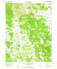
 1957 Ukiah1966 Print · USGSNorthern California's diverse terrain comes into focus in the mid-1950s, from the rugged timberlands of the Jackson State Forest to the productive Sacramento Valley. Genealogists and historians can trace the rail lines of the Northwestern Pacific or locate early valley settlements like Arbuckle and Paskenta.3 unique versions available
 - 1958 Map of Ukiah, 1960 Print
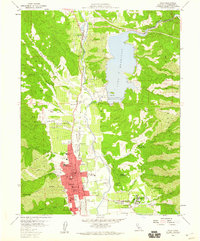 1958 Ukiah1960 Print · USGSMendocino County life in the late fifties centered around the thriving valley floor near Ukiah and the newly formed Lake Mendocino. Researchers can trace old property lines at Yokayo Ranch or locate historical institutional landmarks like the Mendocino State Hospital and Union High School.3 unique versions available
 - 1958 Map of Ukiah, 1961 Print
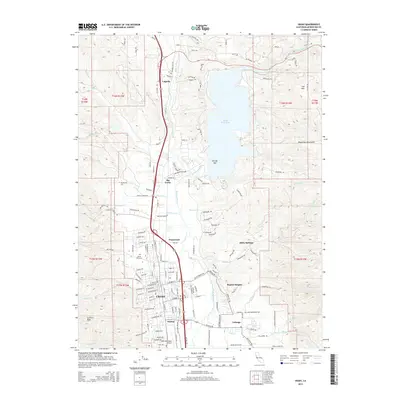
 1958 Ukiah1961 Print · USGSMendocino County's interior valleys thrive in the late fifties as the regional hub of Ukiah grows alongside the Russian River. Genealogists and historians can trace family landholdings like W L Crawford Ranch and visit landmarks such as Vichy Springs or the Mendocino State Hospital.2 unique versions available
 - 1960 Map of Ukiah
 1960 Ukiah1960 Print · USGSNorthern California during the late fifties reveals a landscape of deep timber forests and valley agriculture before modern expansion. Trace the historic rail lines of the California Western RR and the Northwestern Pacific RR through settlements like Fort Bragg and Ukiah.2 unique versions available
 - 1960 Map of Potter Valley, 1962 Print
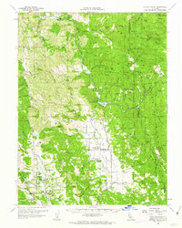 1960 Potter Valley1962 Print · USGSMendocino County's agricultural and river landscapes are captured here during the early sixties, showing the vital connections between the Eel and Russian River watersheds. Genealogists and local historians can trace family roots through the Potter Valley Rancheria, the Potter Valley Cem, and old settlements like Hearst and Pomo.2 unique versions available
 - 1960 Map of Redwood Valley, 1962 Print
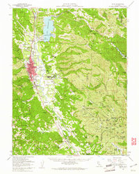
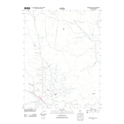
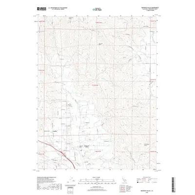
 1960 Redwood Valley1962 Print · USGSThe Russian River valley in the early sixties shows a landscape of steady growth along the Northwestern Pacific railroad. Researchers can trace the boundaries of the Potter Valley Rancheria, locate the old Cem, and explore water systems like the Powerhouse Canal.3 unique versions available
 - 1981 Map of Ukiah
 1981 Ukiah1981 Print · USGSMendocino County’s timber and rail landscape is captured here in the early eighties, from the coastal lumber mills to the inland valleys. Trace the California Western Railroad and find settlements like Fort Bragg, Comptche, and Navarro.3 unique versions available
 - 2012 Map of Redwood Valley, 2012 Print
 2012 Redwood Valley2012 Print · USGSCovers Redwood Valley, including Potter Valley, Mendocino County, and other nearby areas
 - 2012 Map of Ukiah, 2012 Print
 2012 Ukiah2012 Print · USGSCovers Redwood Valley, including Ukiah, Talmage, and other nearby areas
 - 2015 Map of Redwood Valley, 2015 Print
 2015 Redwood Valley2015 Print · USGSCovers Redwood Valley, including Potter Valley, Mendocino County, and other nearby areas
 - 2015 Map of Ukiah, 2015 Print
 2015 Ukiah2015 Print · USGSCovers Redwood Valley, including Ukiah, Talmage, and other nearby areas
 - 2018 Map of Redwood Valley, 2018 Print
 2018 Redwood Valley2018 Print · USGSCovers Redwood Valley, including Potter Valley, Mendocino County, and other nearby areas
 - 2018 Map of Ukiah, 2018 Print
 2018 Ukiah2018 Print · USGSCovers Redwood Valley, including Ukiah, Talmage, and other nearby areas
 - 2021 Map of Redwood Valley, 2021 Print
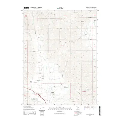
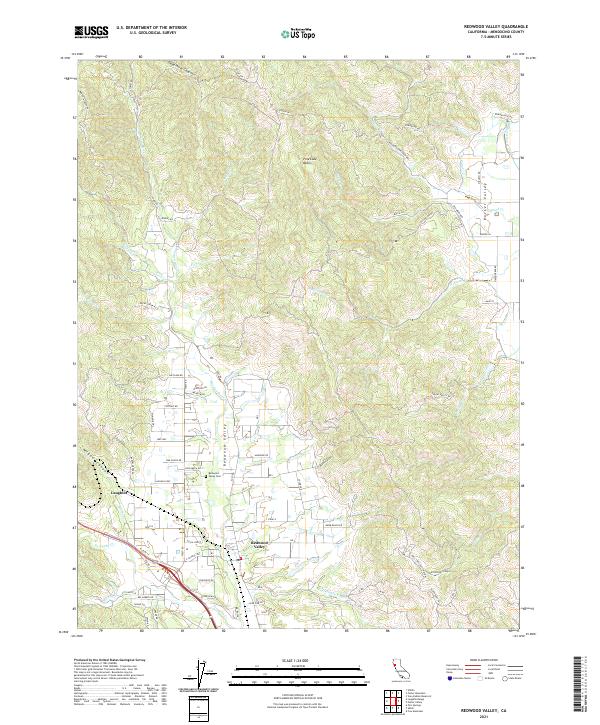 2021 Redwood Valley2021 Print · USGSThe Redwood Valley and Russian River watershed are captured in the early 2020s, showcasing a landscape of canyons and agricultural settlement. Researchers can trace family sites near Redwood Valley Cem or explore landmarks like Laughlin and Dead Horse Canyon.
 - 2022 Map of Ukiah, 2022 Print
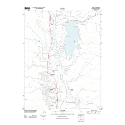
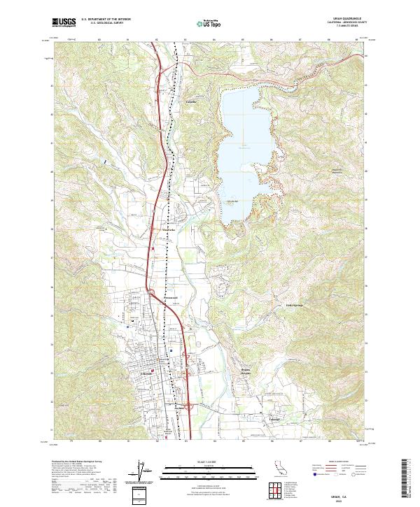 2022 Ukiah2022 Print · USGSUkiah and the Russian River valley are captured in detail during the early 2020s, showing the modern footprint of this Mendocino County hub. Researchers can locate established landmarks like the Mendocino County Courthouse, Vichy Springs, and the Ukiah Cem.
End of results
Showing maps 1-18 of 18
Top cities near Redwood Valley
- Ukiah historical maps
- Willits historical maps
- Talmage historical maps
- Talmage historical maps
- Ridgewood Ranch historical maps
Frequently asked questions
- What are the different types of historical maps available for Redwood Valley?
- What is the oldest map of Redwood Valley?
- Where can I purchase historical maps of Redwood Valley for my home or office?
- Where can I download high-res historical maps of Redwood Valley?
- Are there historical topographic maps available for Redwood Valley?
- Is there historical aerial imagery available for Redwood Valley?
- Where are historical maps of Redwood Valley sourced from?