Old Maps of Reeves Place, California for Academic Research
Study the evolution of Reeves Place with 11 high-resolution historic maps. Whether you're teaching, researching, or modeling changes in land use, these maps provide essential visual documentation of urban, environmental, and geographic change.
- Analyze long-term change: Track patterns in development, transportation, and natural features.
- Ideal for environmental or urban studies: Support academic projects with primary historical map data.
- Use in the classroom or lab: Educators and researchers rely on these maps to bring historical context to life.
These maps are a powerful tool for teaching, research, and visualizing how Reeves Place has changed over the decades.
Reeves Place, CA maps
(11)- 1926 Map of Covelo
 1926 Covelo1926 Print · USGSThe isolated high valley of Covelo is captured here in the mid-1920s, surrounded by the wilderness of the California National Forest. Local historians can locate the Indian School, early ranger outposts, and family landmarks like Browns Ranch.2 unique versions available
 - 1952 Map of Covelo, 1954 Print
 1952 Covelo1954 Print · USGSRound Valley in the early fifties remains a rugged hub of Mendocino ranching and indigenous life centered on the Covelo township. Genealogists and local historians can trace the foundations of the community at the Reservation School, Nomlackie Cem, and family landmarks like the Bauer Ranch.4 unique versions available
 - 1957 Map of Ukiah, 1966 Print
 1957 Ukiah1966 Print · USGSNorthern California's diverse terrain comes into focus in the mid-1950s, from the rugged timberlands of the Jackson State Forest to the productive Sacramento Valley. Genealogists and historians can trace the rail lines of the Northwestern Pacific or locate early valley settlements like Arbuckle and Paskenta.3 unique versions available
 - 1960 Map of Ukiah
 1960 Ukiah1960 Print · USGSNorthern California during the late fifties reveals a landscape of deep timber forests and valley agriculture before modern expansion. Trace the historic rail lines of the California Western RR and the Northwestern Pacific RR through settlements like Fort Bragg and Ukiah.2 unique versions available
 - 1966 Map of Leech Lake Mountain, 1969 Print
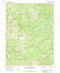 1966 Leech Lake Mountain1969 Print · USGSThe high ridges of Mendocino County were defined by seasonal ranching and wilderness travel in the mid-1960s. Researchers can trace remote outposts like Osborn Station, Foster Ranch, and Travelers Home along a network of historic pack trails.3 unique versions available
 - 1981 Map of Covelo
 1981 Covelo1981 Print · USGSIn the early 1980s, Mendocino County's interior and coastline remained a patchwork of tribal lands and timber outposts. Trace the Northwestern Pacific rail line and discover the boundaries of the Round Valley Indian Reservation Boundary and Covelo.2 unique versions available
 - 1995 Map of Leech Lake Mountain, 2001 Print
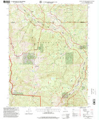 1995 Leech Lake Mountain2001 Print · USGSThe Middle Fork Eel River corridor in the mid-1990s offers a detailed look at the high-country outposts and wilderness boundaries of Northern California. Researchers can locate remote legacy sites like Osborn Station, Reeves Place, and Hotel Camp along the steep ridges.
 - 2012 Map of Leech Lake Mountain, 2012 Print
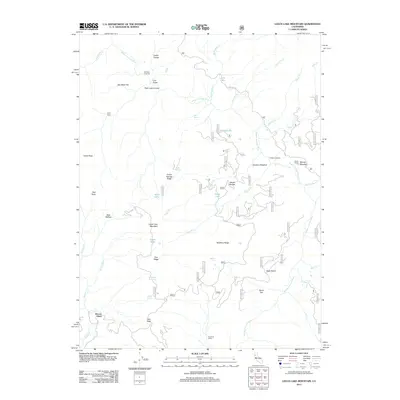 2012 Leech Lake Mountain2012 Print · USGSMendocino County’s back-country terrain is captured here during the early twenty-first century, showing a landscape defined by the Middle Fork Eel River. Researchers can trace old family sites and mountain landmarks like Reeves Place, Foster Ranch, and Leech Lake Mountain.
 - 2015 Map of Leech Lake Mountain, 2015 Print
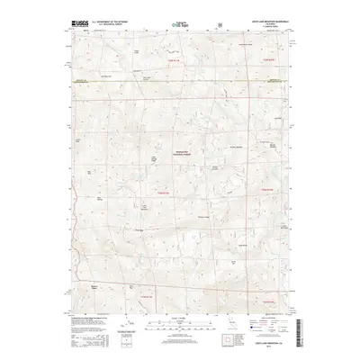 2015 Leech Lake Mountain2015 Print · USGSThe high ridges of the Mendocino-Trinity county line are captured here during the mid-2010s, showcasing a landscape of isolated peaks and remote water sources. Researchers can trace historic mountain access points like Ham Pass and family landmarks such as Reeves Place or Asa Bean Flat.
 - 2018 Map of Leech Lake Mountain, 2018 Print
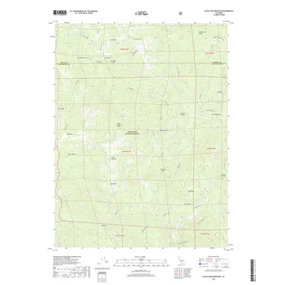 2018 Leech Lake Mountain2018 Print · USGSMendocino County and Trinity County high country is shown here in the late twenty-teens, documenting a landscape of steep ridges and critical river drainages. You can trace early backcountry routes like the Travelers Home trail and locate landmarks like Leech Lake Mtn and Ham Pass.
 - 2021 Map of Leech Lake Mountain, 2021 Print
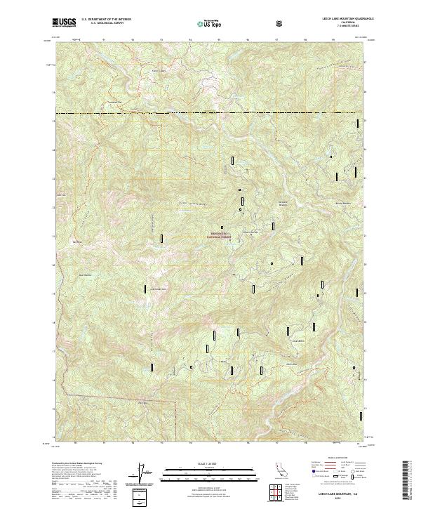 2021 Leech Lake Mountain2021 Print · USGSThe high ridges of the Mendocino National Forest are detailed here in the early twenty-first century. Hikers and historians can trace the paths of the Travelers Home Trl and Henthorne Trl past landmarks like Asa Bean Flat and Leech Lake.
End of results
Showing maps 1-11 of 11
Frequently asked questions
- What are the different types of historical maps available for Reeves Place?
- What is the oldest map of Reeves Place?
- Where can I purchase historical maps of Reeves Place for my home or office?
- Where can I download high-res historical maps of Reeves Place?
- Are there historical topographic maps available for Reeves Place?
- Is there historical aerial imagery available for Reeves Place?
- Where are historical maps of Reeves Place sourced from?