Old Maps of Soda Springs, California for Academic Research
Study the evolution of Soda Springs with 10 high-resolution historic maps. Whether you're teaching, researching, or modeling changes in land use, these maps provide essential visual documentation of urban, environmental, and geographic change.
- Analyze long-term change: Track patterns in development, transportation, and natural features.
- Ideal for environmental or urban studies: Support academic projects with primary historical map data.
- Use in the classroom or lab: Educators and researchers rely on these maps to bring historical context to life.
These maps are a powerful tool for teaching, research, and visualizing how Soda Springs has changed over the decades.
Soda Springs, CA maps
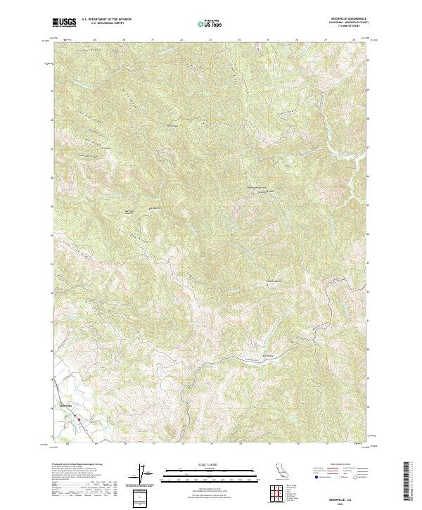
(10)- 1943 Map of Boonville, 1954 Print
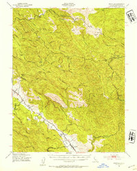 1943 Boonville1954 Print · USGSMendocino County's ranching and timber heartland is captured here during the 1940s, focused on the Anderson Valley settlements. Genealogists and researchers can trace family-named sites like Whipple Ranch and Hagemann Ranch, along with several rural schoolhouses such as Con Creek Sch.
 - 1957 Map of Ukiah, 1966 Print
 1957 Ukiah1966 Print · USGSNorthern California's diverse terrain comes into focus in the mid-1950s, from the rugged timberlands of the Jackson State Forest to the productive Sacramento Valley. Genealogists and historians can trace the rail lines of the Northwestern Pacific or locate early valley settlements like Arbuckle and Paskenta.3 unique versions available
 - 1959 Map of Boonville, 1961 Print
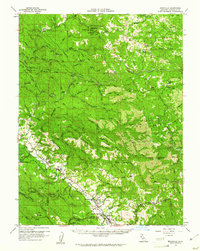 1959 Boonville1961 Print · USGSAnderson Valley was a thriving timber and ranching corridor in the late fifties. Genealogists and historians can trace family lands at Old Bailey Place, the Philbrick Mill, and the Evergreen Cem near the County Fairgrounds.2 unique versions available
 - 1960 Map of Ukiah
 1960 Ukiah1960 Print · USGSNorthern California during the late fifties reveals a landscape of deep timber forests and valley agriculture before modern expansion. Trace the historic rail lines of the California Western RR and the Northwestern Pacific RR through settlements like Fort Bragg and Ukiah.2 unique versions available
 - 1981 Map of Ukiah
 1981 Ukiah1981 Print · USGSMendocino County’s timber and rail landscape is captured here in the early eighties, from the coastal lumber mills to the inland valleys. Trace the California Western Railroad and find settlements like Fort Bragg, Comptche, and Navarro.3 unique versions available
 - 1991 Map of Boonville
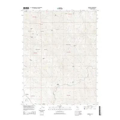
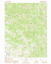 1991 Boonville1991 Print · USGSBoonville and the southern reaches of the Anderson Valley are documented here in the early nineties, showing a landscape of deep canyons and family-named ridges. Genealogists and researchers can trace local landmarks like Fairground, Soda Spring, and Casabonne Peak.
 - 2012 Map of Boonville, 2012 Print
 2012 Boonville2012 Print · USGSCovers Soda Springs, including Boonville, Mendocino County, and other nearby areas
 - 2015 Map of Boonville, 2015 Print
 2015 Boonville2015 Print · USGSCovers Soda Springs, including Boonville, Mendocino County, and other nearby areas
 - 2018 Map of Boonville, 2018 Print
 2018 Boonville2018 Print · USGSCovers Soda Springs, including Boonville, Mendocino County, and other nearby areas
 - 2021 Map of Boonville, 2021 Print
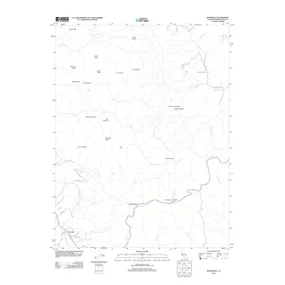
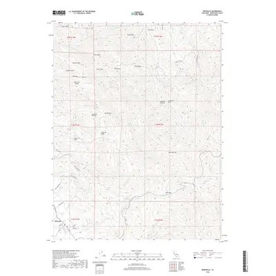
 2021 Boonville2021 Print · USGSBoonville and the surrounding Mendocino County ridges are documented here in the early twenty-first century as the local road network weaves through the high timber country. Researchers can trace land features like Shoemake Opening, the waters of Soda Spring, and family-named routes such as Rossi Rd.
End of results
Showing maps 1-10 of 10
Top cities near Soda Springs
- Ukiah historical maps
- Redwood Valley historical maps
- Talmage historical maps
- Talmage historical maps
- Boonville historical maps
Frequently asked questions
- What are the different types of historical maps available for Soda Springs?
- What is the oldest map of Soda Springs?
- Where can I purchase historical maps of Soda Springs for my home or office?
- Where can I download high-res historical maps of Soda Springs?
- Are there historical topographic maps available for Soda Springs?
- Is there historical aerial imagery available for Soda Springs?
- Where are historical maps of Soda Springs sourced from?