Old Maps of Harlem, California for Hiking & Exploration
Hike through history with 14 historic maps of Harlem. Explore old trails, ghost towns, and forgotten backroads — perfect for outdoor adventurers and local explorers.
- Rediscover forgotten places: Map out old mining camps, roads, and footpaths that no longer exist on modern maps.
- Layer with modern tools: Combine with LiDAR or satellite views to plan hikes through historical terrain.
- Made for exploration: Popular among hikers, overlanders, and local history lovers.
Use these maps to find adventure and explore the hidden past of Harlem.
Harlem, CA maps
(14)- 1915 Map of Soledad
 1915 Soledad1915 Print · USGSThe Salinas Valley is captured in the early twentieth century as irrigation and the railroad transformed old land grants. Trace early settlements and rural schoolhouses like Fort Romie School and Paraiso Springs School alongside the Southern Pacific line.4 unique versions available
 - 1940 Map of Soledad
 1940 Soledad1940 Print · USGSThe Salinas Valley of the 1940s is shown here as a landscape of historic ranchos and rising agricultural industry. Genealogists and researchers can locate Mission Soledad (Ruins), the Camphora School, and family landmarks like the Olson Ranch.
 - 1948 Map of Santa Cruz
 1948 Santa Cruz1948 Print · USGSThe Central Coast and San Joaquin Valley meet in this mid-century look at the region's agricultural and military geography. Genealogists and historians can trace the paths of El Camino Real, locate family farms near Hollister, or study the footprint of the Fort Ord Military Reservation.2 unique versions available
 - 1955 Map of Santa Cruz
 1955 Santa Cruz1955 Print · USGSCoastal Monterey Bay and the fertile Salinas Valley are captured here during the post-war expansion of the mid-fifties. Researchers can trace the era's rail-and-road network via the Southern Pacific lines and find landmarks like Fort Ord or the Lonoak School.
 - 1955 Map of Soledad, 1957 Print
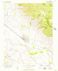 1955 Soledad1957 Print · USGSThe Salinas River valley in the mid-1950s reveals a landscape of growing towns and institutional landmarks. Researchers can trace the layout of Soledad, locate the Mission Soledad, and explore local school sites like Mission Union School.4 unique versions available
 - 1957 Map of Santa Cruz
 1957 Santa Cruz1957 Print · USGSCentral California comes into sharp focus during the late fifties, from the fog-swept Monterey Bay to the sun-drenched San Joaquin Valley. Genealogists and historians can trace the mid-century footprints of Fort Ord Military Reservation, the Southern Pacific line, and the historic streets of San Juan Bautista.
 - 1958 Map of Santa Cruz
 1958 Santa Cruz1958 Print · USGSCoastal California and the central valleys are shown during the mid-fifties, capturing a landscape of massive military reserves and vital rail arteries. Genealogists and historians can trace the Southern Pacific line through Salinas or explore the early footprints of the Fort Ord Military Reservation and San Juan Bautista.2 unique versions available
 - 1965 Map of Santa Cruz, 1968 Print
 1965 Santa Cruz1968 Print · USGSThe Central Coast and San Joaquin Valley meet here during the mid-sixties, capturing the growth of agricultural and coastal hubs. Trace the historic Southern Pacific RR lines and locate sites like the Presidio of Monterey or Pinnacles National Monument.
 - 1974 Map of Monterey, 1977 Print
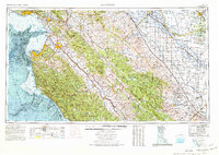 1974 Monterey1977 Print · USGSThe Central Coast and San Joaquin Valley meet in this mid-seventies survey of the Monterey region. Genealogists and historians can locate Spanish-era sites like the San Antonio de Padua Mission, early industrial markers such as the New Idria Mine, and coastal landmarks like the Point Sur Lighthouse.
 - 1982 Map of Point Sur, 1980 Print
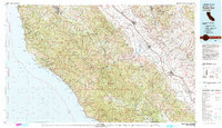 1982 Point Sur1980 Print · USGSCoastal mountains and fertile valleys meet in the early eighties as the Southern Pacific railroad links Monterey County's growing agricultural towns. Trace remote landmarks like Tassajara Hot Springs, the Soledad State Prison, and the sprawling Fort Hunter Liggett Military Reservation.3 unique versions available
 - 2012 Map of Soledad, 2012 Print
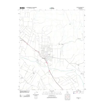 2012 Soledad2012 Print · USGSSoledad and the Salinas River Valley are shown at the height of their modern agricultural and viticultural era. Researchers can trace land use from the Paul Masson Vineyards to older settlements and landmarks like Fort Romie and the Soledad Cemetery.
 - 2015 Map of Soledad, 2015 Print
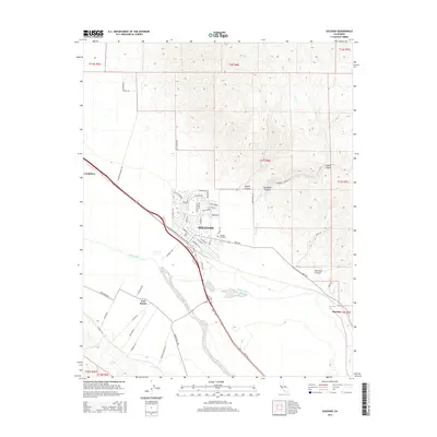 2015 Soledad2015 Print · USGSSoledad and the Salinas Valley are captured here in the mid-2010s, showing the intersection of valley agriculture and rising foothills. Researchers can locate the Soledad Cemetery, trace the path of the Salinas River, and find the historic settlement of Fort Romie.
 - 2018 Map of Soledad, 2018 Print
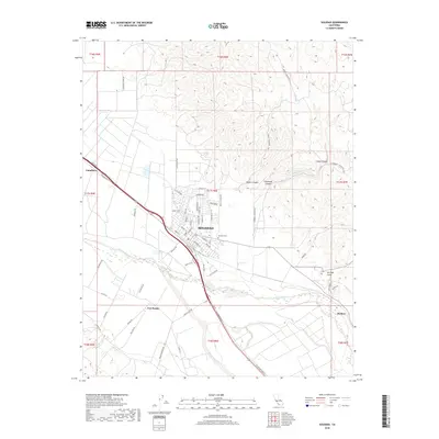 2018 Soledad2018 Print · USGSThe Salinas Valley and the growing city of Soledad are documented in this recent survey. Local researchers can trace modern street developments and traditional sites like Fort Romie, Soledad Cem, and the path of the Salinas River.
 - 2021 Map of Soledad, 2021 Print
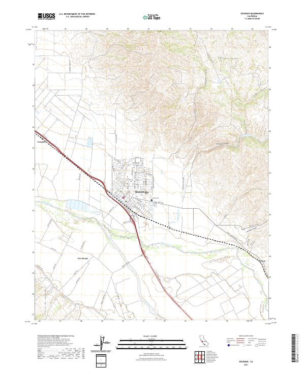 2021 Soledad2021 Print · USGSThe Salinas River valley in the early 2020s shows a landscape shaped by high mountain ranges and deep canyons. Researchers can trace the town grid of Soledad, locate the Soledad Cem, and find historic sites like Fort Romie and Camphora.
End of results
Showing maps 1-14 of 14
Top cities near Harlem
Frequently asked questions
- What are the different types of historical maps available for Harlem?
- What is the oldest map of Harlem?
- Where can I purchase historical maps of Harlem for my home or office?
- Where can I download high-res historical maps of Harlem?
- Are there historical topographic maps available for Harlem?
- Is there historical aerial imagery available for Harlem?
- Where are historical maps of Harlem sourced from?