Old Maps of Prunedale, California for Metal Detecting
Plan your next treasure hunt with 31 historic maps of Prunedale. Find old homesites, ghost towns, trails, and gathering spots that may be lost to time — perfect for identifying promising metal detecting locations.
- Locate forgotten sites: Uncover places like long-lost settlements, abandoned rail lines, or gathering spots.
- Plan better hunts: Use map overlays combined with LiDAR or satellite views to narrow in on historically rich areas.
- Made for detectorists: Thousands of hobbyists use these maps to discover relics, coins, and hidden history.
Use these historic maps to boost your research and find new opportunities beneath the surface of Prunedale.
Prunedale, CA maps
(31)- 1910 Map of Salinas
 1910 Salinas1910 Print · USGSThe Salinas Valley thrives at the turn of the century as a burgeoning agricultural and rail hub. Genealogists can trace family holdings and rural landmarks like Simon Castros, Confederate Corners, and the narrow-gauge Pajaro Valley Consolidated RR.
 - 1912 Map of Salinas
 1912 Salinas1912 Print · USGSThe Salinas Valley appears here in its early twentieth-century prime as a booming agricultural corridor shaped by railroads and sugar beets. Researchers can trace the layout of early company towns and rural schools like Spreckels, Old Hilltown, and Natividad School.6 unique versions available
 - 1915 Map of San Juan Bautista
 1915 San Juan Bautista1915 Print · USGSCentral Coast agriculture and railroad expansion converge in this 1910s study of the Pajaro Valley. Local historians can trace the Southern Pacific line past Watsonville Junction to the Mission San Juan Bautista.
 - 1917 Map of San Juan Bautista
 1917 San Juan Bautista1917 Print · USGSThe fertile valleys of the Central Coast meet at the foot of the Santa Cruz Mountains during this era of agricultural expansion. Genealogists can trace family names across huge land grants and locate historic sites like Mission San Juan Bautista and the St Francis Orphan Asylum.6 unique versions available
 - 1939 Map of San Juan Bautista, 1958 Print
 1939 San Juan Bautista1958 Print · USGSThe Central Coast landscape at the dawn of World War II is documented here, showing the intersection of Spanish-era ranchos and the Southern Pacific rail line. Researchers can trace the grounds of Mission San Juan Bautista, identify the Sargent Oil Field, and locate numerous rural schoolhouses like Carlton School.
 - 1940 Map of San Juan Bautista
 1940 San Juan Bautista1940 Print · USGSCentral California coastal and valley life at the start of the 1940s is captured here, where four counties meet. Genealogy researchers can trace family-named sites like Patrick Breen, old rural institutions like the St Francis Orphan Asylum, and the early Sargent Oil Fields.
 - 1940 Map of Salinas
 1940 Salinas1940 Print · USGSThe Salinas Valley at the start of the 1940s shows an agricultural landscape defined by historic land grants and expanding industry. Researchers can trace rural school locations like Natividad School and established landmarks such as Hartnell College and the railroad hub at Spreckles.
 - 1947 Map of Salinas, 1948 Print
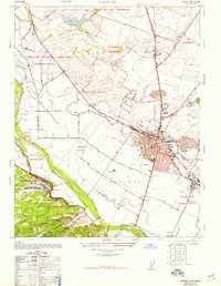 1947 Salinas1948 Print · USGSSalinas and the fertile Monterey County floor are shown in the late 1940s as the region transitioned from a wartime military hub to an agricultural powerhouse. Genealogists and local historians can trace family-named ranches like Clausens Ranch and landmark schools such as Blanco School or the Junior College.7 unique versions available
 - 1947 Map of Salinas, 1957 Print
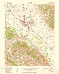 1947 Salinas1957 Print · USGSThe Salinas Valley transitions from an agricultural powerhouse to a growing urban center in the years following World War II. Researchers can locate family ranch sites and community hubs like Spreckels, Confederate Corners, and the Fort Ord Military Reservation.2 unique versions available
 - 1948 Map of Santa Cruz
 1948 Santa Cruz1948 Print · USGSThe Central Coast and San Joaquin Valley meet in this mid-century look at the region's agricultural and military geography. Genealogists and historians can trace the paths of El Camino Real, locate family farms near Hollister, or study the footprint of the Fort Ord Military Reservation.2 unique versions available
 - 1954 Map of Prunedale, 1956 Print
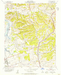 1954 Prunedale1956 Print · USGSMonterey County's coastal wetlands and canyons are captured here in the mid-1950s, showing the early footprints of rural settlements. Researchers can trace land grant boundaries and local landmarks like Elkhorn Slough, the Southern Pacific line, and Prunedale.6 unique versions available
 - 1955 Map of Santa Cruz
 1955 Santa Cruz1955 Print · USGSCoastal Monterey Bay and the fertile Salinas Valley are captured here during the post-war expansion of the mid-fifties. Researchers can trace the era's rail-and-road network via the Southern Pacific lines and find landmarks like Fort Ord or the Lonoak School.
 - 1955 Map of San Juan Bautista, 1956 Print
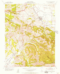 1955 San Juan Bautista1956 Print · USGSSan Juan Bautista at the height of the mid-fifties is captured here along the shifting San Andreas Rift Zone. Researchers can trace the layout of the Mission, local school sites like Lagunita Sch, and the industry of the massive Cement Plant.5 unique versions available
 - 1957 Map of Santa Cruz
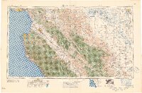 1957 Santa Cruz1957 Print · USGSCentral California comes into sharp focus during the late fifties, from the fog-swept Monterey Bay to the sun-drenched San Joaquin Valley. Genealogists and historians can trace the mid-century footprints of Fort Ord Military Reservation, the Southern Pacific line, and the historic streets of San Juan Bautista.
 - 1958 Map of Santa Cruz
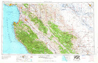 1958 Santa Cruz1958 Print · USGSCoastal California and the central valleys are shown during the mid-fifties, capturing a landscape of massive military reserves and vital rail arteries. Genealogists and historians can trace the Southern Pacific line through Salinas or explore the early footprints of the Fort Ord Military Reservation and San Juan Bautista.2 unique versions available
 - 1965 Map of Santa Cruz, 1968 Print
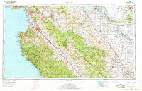 1965 Santa Cruz1968 Print · USGSThe Central Coast and San Joaquin Valley meet here during the mid-sixties, capturing the growth of agricultural and coastal hubs. Trace the historic Southern Pacific RR lines and locate sites like the Presidio of Monterey or Pinnacles National Monument.
 - 1974 Map of Monterey, 1977 Print
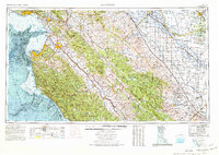 1974 Monterey1977 Print · USGSThe Central Coast and San Joaquin Valley meet in this mid-seventies survey of the Monterey region. Genealogists and historians can locate Spanish-era sites like the San Antonio de Padua Mission, early industrial markers such as the New Idria Mine, and coastal landmarks like the Point Sur Lighthouse.
 - 1983 Map of Monterey, 1984 Print
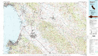 1983 Monterey1984 Print · USGSCoastal Monterey and the Salinas Valley appear in the early eighties as a hub of military activity and deep-rooted agriculture. Researchers can trace historic land grant boundaries like Rancho Buena Vista or locate sites like Mission San Juan Bautista and Spreckels.2 unique versions available
 - 1997 Map of San Juan Bautista, 2002 Print
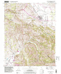 1997 San Juan Bautista2002 Print · USGSSan Juan Bautista and the San Benito Valley are shown here in the late twentieth century as they maintain their agricultural and missionary heritage. Genealogists and historians can trace the limits of old land grants and find landmarks like Mission San Juan Bautista, Lagunita Sch, and Fremont Peak.
 - 2012 Map of Prunedale, 2012 Print
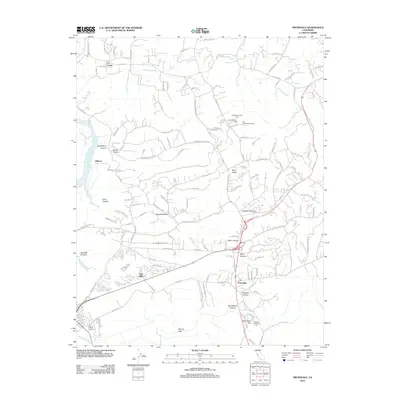 2012 Prunedale2012 Print · USGSCoastal Monterey County is captured in the early 2010s, showing a landscape of deep canyons and the winding Elkhorn Slough. Genealogists and local historians can trace family roots through landmarks like Hambey Cem, Prunedale, and the Southern Pacific RR corridor.
 - 2012 Map of San Juan Bautista, 2012 Print
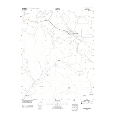 2012 San Juan Bautista2012 Print · USGSSan Juan Bautista and the rugged Gabilan Range are captured here in the early twenty-first century as the landscape balances its agricultural heritage and natural peaks. Genealogists and hikers can trace the winding paths of Old Stage Rd and locate landmarks like Lagunita Lake and Pinecate Peak.
 - 2012 Map of Salinas, 2012 Print
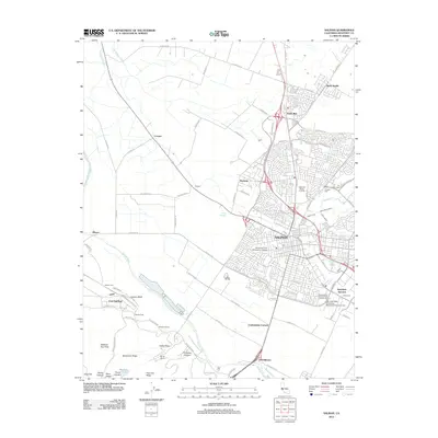 2012 Salinas2012 Print · USGSThe Salinas Valley comes into focus during the early twenty-first century, showcasing the city's expansion alongside its deep-rooted agricultural and military history. Trace the layouts of Old Hilltown and East Garrison, or locate heritage sites like the Chinese Cem and California Rodeo Grounds.
 - 2015 Map of San Juan Bautista, 2015 Print
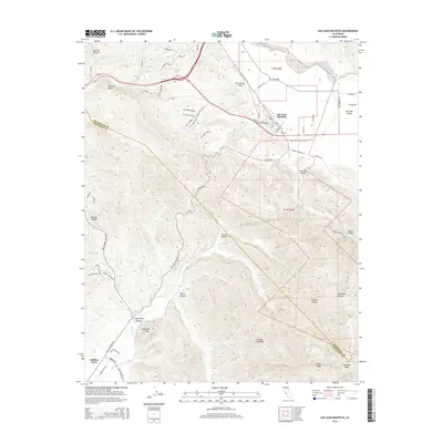 2015 San Juan Bautista2015 Print · USGSSan Juan Bautista and the Gabilan Range come alive in this mid-2010s survey of the Central Coast hills. Family researchers and hikers can trace the San Andreas Fault across the landscape or find local landmarks like Fremont Peak, Gabilan Acres, and Steinbeck Canyon.
 - 2015 Map of Prunedale, 2015 Print
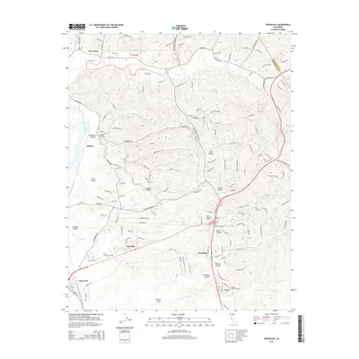 2015 Prunedale2015 Print · USGSCoastal Monterey County comes alive in the mid-2010s, showing the intersection of agricultural roots and modern canyon residential life. Researchers can trace family sites near Hambey Cemetery or follow the intricate shorelines of Elkhorn Slough and Moro Cojo Slough.
 - 2015 Map of Salinas, 2015 Print
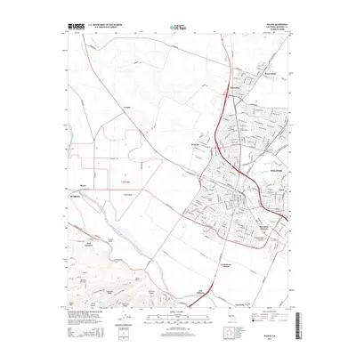 2015 Salinas2015 Print · USGSSalinas and the fertile Salinas River valley appear here in the mid-2010s, showing a blend of urban growth and agricultural heritage. Genealogists and historians can trace local landmarks like Old Hilltown, the Chinese Cemetery, and the military history of East Garrison.
Showing maps 1-25 of 31
Top cities near Prunedale
- Salinas historical maps
- Gilroy historical maps
- Watsonville historical maps
- Hollister historical maps
- Monterey historical maps
- Marina historical maps
See more
Top neighborhoods of Prunedale
- Oak Hills historical maps
- Vierra Canyon Knolls historical maps
- Vierra Estates historical maps
- C. F. Langley Subdivision historical maps
- Roma Oaks historical maps
- Royal Oaks historical maps
See more
Frequently asked questions
- What are the different types of historical maps available for Prunedale?
- What is the oldest map of Prunedale?
- Where can I purchase historical maps of Prunedale for my home or office?
- Where can I download high-res historical maps of Prunedale?
- Are there historical topographic maps available for Prunedale?
- Is there historical aerial imagery available for Prunedale?
- Where are historical maps of Prunedale sourced from?