2000s (21st Century) Maps of Turtle Ridge, Irvine
Explore 8 historic maps of Turtle Ridge from the 2000s (21st Century). These maps offer a rare glimpse into what life looked like during the 2000s — showing old roads, neighborhoods, homes, and landmarks that have changed or disappeared over time.
Whether you're researching your family's past, planning a metal detecting trip, or studying how Turtle Ridge's landscape evolved across the 2000s, these high-resolution maps are a powerful tool for exploring the history of this region.
- Focus on a specific era: All maps on this page are from the 2000s, giving you a focused view of this time period.
- See what’s changed: Compare century-old streets, trails, and buildings to today's modern landscape using overlays and satellite layers.
- Research with precision: Use these maps for genealogy, historical research, land use analysis, or educational projects.
- View, download, or print: Maps are fully viewable online in high resolution, and can be downloaded or printed for your own records.
Start exploring Turtle Ridge's history through authentic maps from the 2000s. This is your window into the past.
Turtle Ridge, Irvine maps
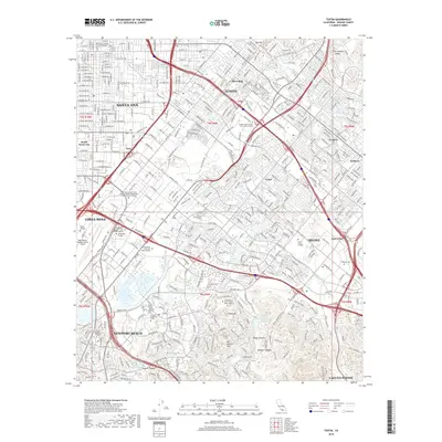
(8)- 2012 Map of Tustin, 2012 Print
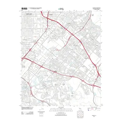 2012 Tustin2012 Print · USGSCovers Turtle Ridge, including Santa Ana, Irvine, and other nearby areas
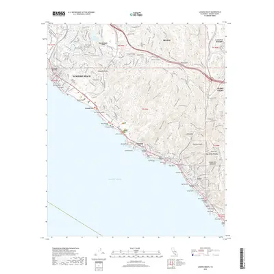
 - 2012 Map of Laguna Beach, 2012 Print
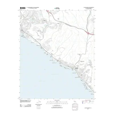 2012 Laguna Beach2012 Print · USGSCovers Turtle Ridge, including Irvine, Newport Beach, and other nearby areas
 - 2015 Map of Tustin, 2015 Print
 2015 Tustin2015 Print · USGSCovers Turtle Ridge, including Santa Ana, Irvine, and other nearby areas
 - 2015 Map of Laguna Beach, 2015 Print
 2015 Laguna Beach2015 Print · USGSCovers Turtle Ridge, including Irvine, Newport Beach, and other nearby areas
 - 2018 Map of Tustin, 2018 Print
 2018 Tustin2018 Print · USGSCovers Turtle Ridge, including Santa Ana, Irvine, and other nearby areas
 - 2018 Map of Laguna Beach, 2018 Print
 2018 Laguna Beach2018 Print · USGSCovers Turtle Ridge, including Irvine, Newport Beach, and other nearby areas
 - 2022 Map of Laguna Beach, 2022 Print
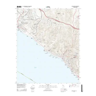
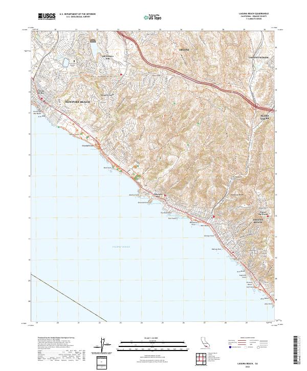 2022 Laguna Beach2022 Print · USGSThe Orange County coastline comes alive in this contemporary survey of the hills and coves from Newport to South Laguna. Trace the modern development of Newport Coast or locate coastal landmarks like Crystal Cove and the Laguna College of Art and Design.
 - 2022 Map of Tustin, 2022 Print
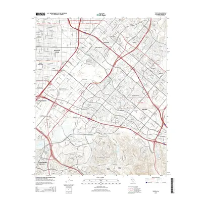
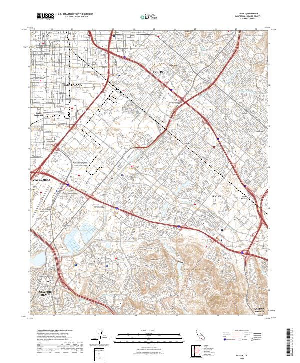 2022 Tustin2022 Print · USGSThe Orange County heartland is shown in high detail during this era of intensive suburban and academic growth. Researchers can trace the modern campus layout of the University of California Irvine and locate landmarks like French Hill and Red Hill.
End of results
Showing maps 1-8 of 8
Top cities near Turtle Ridge
- Anaheim historical maps
- Santa Ana historical maps
- Irvine historical maps
- Huntington Beach historical maps
- Garden Grove historical maps
- Corona historical maps
See more
Top neighborhoods of Turtle Ridge
Frequently asked questions
- What are the different types of historical maps available for Turtle Ridge?
- What is the oldest map of Turtle Ridge?
- Where can I purchase historical maps of Turtle Ridge for my home or office?
- Where can I download high-res historical maps of Turtle Ridge?
- Are there historical topographic maps available for Turtle Ridge?
- Is there historical aerial imagery available for Turtle Ridge?
- Where are historical maps of Turtle Ridge sourced from?