Old Maps of Summit Crest, Lake Forest for Hiking & Exploration
Hike through history with 21 historic maps of Summit Crest. Explore old trails, ghost towns, and forgotten backroads — perfect for outdoor adventurers and local explorers.
- Rediscover forgotten places: Map out old mining camps, roads, and footpaths that no longer exist on modern maps.
- Layer with modern tools: Combine with LiDAR or satellite views to plan hikes through historical terrain.
- Made for exploration: Popular among hikers, overlanders, and local history lovers.
Use these maps to find adventure and explore the hidden past of Summit Crest.
Summit Crest, Lake Forest maps
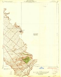
(21)- 1901 Map of Southern California Sheet No. 1
 1901 Southern California Sheet No. 11901 Print · USGSGreater Los Angeles at the dawn of the twentieth century is a landscape of growing citrus towns and a burgeoning rail network. Genealogists and historians can trace the early gridded streets of Hollywood and Pasadena or locate landmarks like Bear Lake and the Cahuilla Indian Reservation.6 unique versions available
 - 1902 Map of Corona
 1902 Corona1902 Print · USGSThe Orange County and Riverside borderlands at the start of the 1900s show an era of rapid rail expansion and water engineering. Researchers can trace the early footprints of Anaheim and Orange or find vanished industry at the Santiago Coal Mine.7 unique versions available
 - 1904 Map of Southern California Sheet No. 1, 1905 Print
 1904 Southern California Sheet No. 11905 Print · USGSSouthern California at the dawn of the twentieth century shows a landscape of citrus groves and coastal towns connected by rail. Genealogists and historians can trace early settlements like San Juan Capistrano, find remote sites like the Rose Mine, and study the original water systems of the Santa Ana River.2 unique versions available
 - 1935 Map of El Toro
 1935 El Toro1935 Print · USGSOrange County ranching culture thrives in the 1930s, centered on the settlement of El Toro and the surrounding canyon washes. Researchers can trace early infrastructure along the Atchison Topeka and Santa Fe railroad and locate historic homesteads like Moulton Ranch and Serrano Place.4 unique versions available
 - 1942 Map of Santiago Peak, 1943 Print
 1942 Santiago Peak1943 Print · USGSOrange County and the inland canyons appear here in the early 1940s, showing a landscape of small settlements and rugged mountain reaches. Genealogists and local historians can trace early holdings near San Juan Capistrano, the station at El Toro, and mountain landmarks like Modjeska.3 unique versions available
 - 1947 Map of Santa Ana, 1949 Print
 1947 Santa Ana1949 Print · USGSSouthern California is depicted here in the late forties, showing the expansion of the Inland Empire and the Orange County coast. Researchers can trace the early layout of Palm Springs or locate long-standing tribal lands like the Pala Indian Reservation and Rincon Indian Res.
 - 1949 Map of Santa Ana
 1949 Santa Ana1949 Print · USGSSouthern California underwent a profound transformation in the late 1940s as military installations and citrus groves shared the landscape. Researchers can trace early coastal growth at Laguna Beach, military history at Camp Pendleton, and the rail corridors of the Pacific Electric.
 - 1949 Map of El Toro, 1958 Print
 1949 El Toro1958 Print · USGSPost-war Orange County centers on the massive El Toro Naval Air Station Reservation and the nearby rural settlement of El Toro. Genealogists and local historians can trace the early layout of the El Toro Cem, the Silverado School, and family landmarks like Serrano Place.2 unique versions available
 - 1950 Map of El Toro
 1950 El Toro1950 Print · USGSOrange County's inland valleys and canyons are documented here in the mid-twentieth century, just as military expansion began to reshape the landscape. Local historians can trace the El Toro Air Station Naval Reservation, the El Toro Cem, and rural mountain life in Modjeska.2 unique versions available
 - 1956 Map of Santa Ana
 1956 Santa Ana1956 Print · USGSSouthern California underwent massive mid-century transformation as suburban growth met major military and water projects. Trace the postwar expansion of Santa Ana and Riverside, the layout of Camp Pendleton, and the path of the Colorado River Aqueduct.
 - 1959 Map of Santa Ana, 1971 Print
 1959 Santa Ana1971 Print · USGSSouthern California is captured in a decade of transformation, from the Orange County coast to the desert floor. Researchers can trace the mid-century footprints of Camp Pendleton, March Air Force Base, and the original Ortega Highway.3 unique versions available
 - 1960 Map of Santa Ana
 1960 Santa Ana1960 Print · USGSSouthern California's coastal plains and inland deserts meet in this mid-century survey of the burgeoning Orange and Riverside county corridors. Researchers can trace the layout of early freeway systems, find tribal lands like the Soboba Indian Reservation, and locate military landmarks such as March Field.2 unique versions available
 - 1965 Map of Santa Ana
 1965 Santa Ana1965 Print · USGSSouthern California is captured in a decade of rapid growth, showing the coastal expansion from Santa Ana down to Oceanside. Genealogists and historians can trace the mid-century development of places like Garden Grove or the rural reaches of Escondido and the Palomar Observatory.
 - 1968 Map of El Toro, 1970 Print
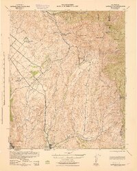
 1968 El Toro1970 Print · USGSOrange County's mix of military expansion and rural canyon life is captured here during the late sixties. Researchers can trace the massive El Toro Marine Corps Air Station, find old family plots at Ascension Cem, and see the early International Raceway.9 unique versions available
 - 1974 Map of El Toro, 1975 Print
 1974 El Toro1975 Print · USGSOrange County's military and agricultural landscape is captured with exceptional clarity in the mid-seventies just as development began pressing into the hills. Researchers can trace the full footprint of the El Toro Marine Corps Air Station and the rising terrain of the eastern Ridge.
 - 1983 Map of Santa Ana
 1983 Santa Ana1983 Print · USGSCoastal Orange County meets the Inland Empire in the early eighties as suburban growth accelerates through the SANTA ANA MOUNTAINS. Researchers can trace institutional and military history at MARCH AIR FORCE BASE, locate the Santiago Coal Mine, or find family sites near Fairhaven Cem.
 - 1997 Map of El Toro, 2000 Print
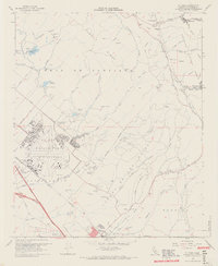
 1997 El Toro2000 Print · USGSOrange County's transformation into a suburban and military hub is on full display in the late nineties. Genealogists and historians can trace the expansive El Toro Marine Corps Air Station alongside local landmarks like El Toro Cem and Modjeska.
 - 2012 Map of Lake Forest, 2012 Print
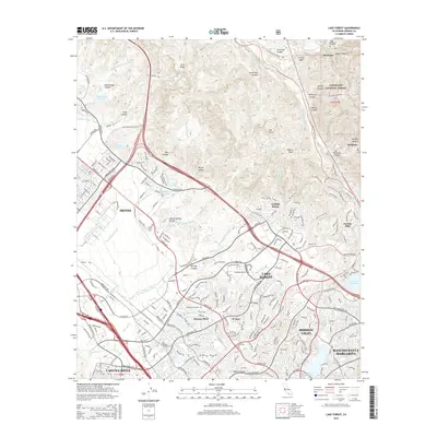
 2012 Lake Forest2012 Print · USGSCovers Summit Crest, including Irvine, Mission Viejo, and other nearby areas
 - 2015 Map of Lake Forest, 2015 Print
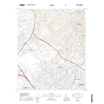
 2015 Lake Forest2015 Print · USGSCovers Summit Crest, including Irvine, Mission Viejo, and other nearby areas
 - 2018 Map of Lake Forest, 2018 Print
 2018 Lake Forest2018 Print · USGSCovers Summit Crest, including Irvine, Mission Viejo, and other nearby areas
 - 2022 Map of Lake Forest, 2022 Print
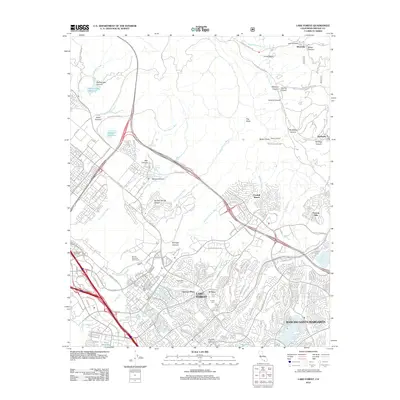
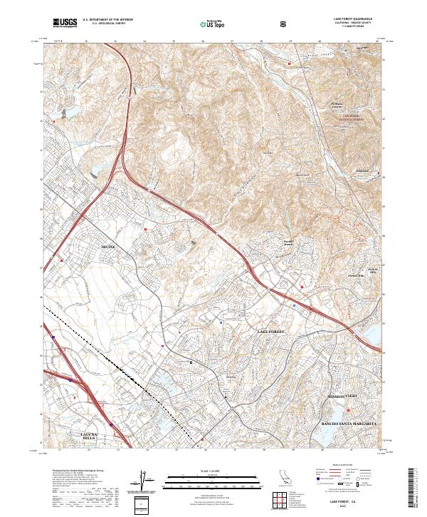 2022 Lake Forest2022 Print · USGSOrange County's modern suburban landscape meets the Santa Ana foothills in this detailed survey of the Lake Forest area. Researchers can trace the development of Foothill Ranch and El Toro alongside landmarks like Ascension Cem and The Sinks.
End of results
Showing maps 1-21 of 21
Frequently asked questions
- What are the different types of historical maps available for Summit Crest?
- What is the oldest map of Summit Crest?
- Where can I purchase historical maps of Summit Crest for my home or office?
- Where can I download high-res historical maps of Summit Crest?
- Are there historical topographic maps available for Summit Crest?
- Is there historical aerial imagery available for Summit Crest?
- Where are historical maps of Summit Crest sourced from?