2000s (21st Century) Maps of Rancho Santa Margarita, California
Explore 16 historic maps of Rancho Santa Margarita from the 2000s (21st Century). These maps offer a rare glimpse into what life looked like during the 2000s — showing old roads, neighborhoods, homes, and landmarks that have changed or disappeared over time.
Whether you're researching your family's past, planning a metal detecting trip, or studying how Rancho Santa Margarita's landscape evolved across the 2000s, these high-resolution maps are a powerful tool for exploring the history of this region.
- Focus on a specific era: All maps on this page are from the 2000s, giving you a focused view of this time period.
- See what’s changed: Compare century-old streets, trails, and buildings to today's modern landscape using overlays and satellite layers.
- Research with precision: Use these maps for genealogy, historical research, land use analysis, or educational projects.
- View, download, or print: Maps are fully viewable online in high resolution, and can be downloaded or printed for your own records.
Start exploring Rancho Santa Margarita's history through authentic maps from the 2000s. This is your window into the past.
Rancho Santa Margarita, CA maps
(16)- 2012 Map of Canada Gobernadora, 2012 Print
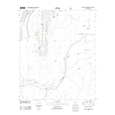 2012 Canada Gobernadora2012 Print · USGSCovers Rancho Santa Margarita, including San Juan Capistrano, Coto De Caza, and other nearby areas
 - 2012 Map of Santiago Peak, 2012 Print
 2012 Santiago Peak2012 Print · USGSCovers Rancho Santa Margarita, including Mission Viejo, Lake Forest, and other nearby areas
 - 2012 Map of Lake Forest, 2012 Print
 2012 Lake Forest2012 Print · USGSCovers Rancho Santa Margarita, including Irvine, Mission Viejo, and other nearby areas
 - 2012 Map of San Juan Capistrano, 2012 Print
 2012 San Juan Capistrano2012 Print · USGSCovers Rancho Santa Margarita, including Irvine, Mission Viejo, and other nearby areas
 - 2015 Map of Canada Gobernadora, 2015 Print
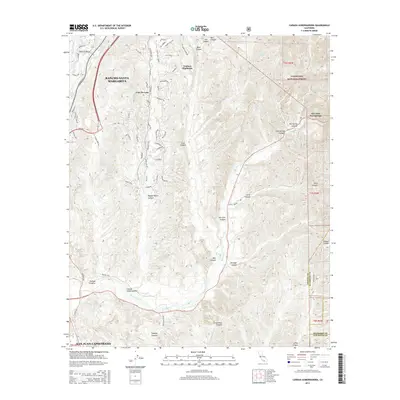 2015 Canada Gobernadora2015 Print · USGSCovers Rancho Santa Margarita, including San Juan Capistrano, Coto De Caza, and other nearby areas
 - 2015 Map of Lake Forest, 2015 Print
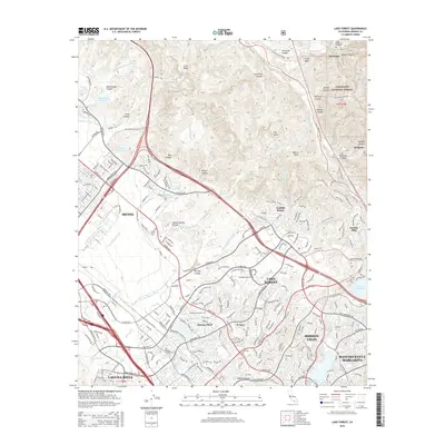 2015 Lake Forest2015 Print · USGSCovers Rancho Santa Margarita, including Irvine, Mission Viejo, and other nearby areas
 - 2015 Map of Santiago Peak, 2015 Print
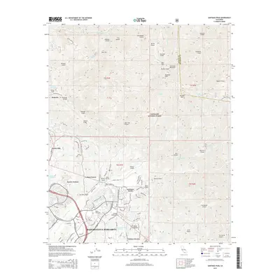 2015 Santiago Peak2015 Print · USGSCovers Rancho Santa Margarita, including Mission Viejo, Lake Forest, and other nearby areas
 - 2015 Map of San Juan Capistrano, 2015 Print
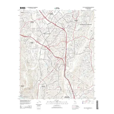 2015 San Juan Capistrano2015 Print · USGSCovers Rancho Santa Margarita, including Irvine, Mission Viejo, and other nearby areas
 - 2018 Map of Santiago Peak, 2018 Print
 2018 Santiago Peak2018 Print · USGSCovers Rancho Santa Margarita, including Mission Viejo, Lake Forest, and other nearby areas
 - 2018 Map of San Juan Capistrano, 2018 Print
 2018 San Juan Capistrano2018 Print · USGSCovers Rancho Santa Margarita, including Irvine, Mission Viejo, and other nearby areas
 - 2018 Map of Lake Forest, 2018 Print
 2018 Lake Forest2018 Print · USGSCovers Rancho Santa Margarita, including Irvine, Mission Viejo, and other nearby areas
 - 2018 Map of Canada Gobernadora, 2018 Print
 2018 Canada Gobernadora2018 Print · USGSCovers Rancho Santa Margarita, including San Juan Capistrano, Coto De Caza, and other nearby areas
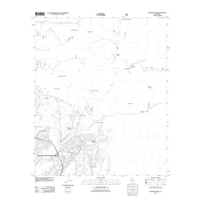
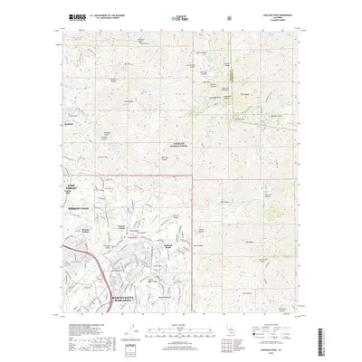
 - 2022 Map of Santiago Peak, 2022 Print
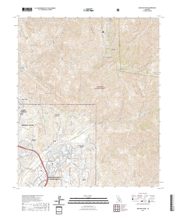 2022 Santiago Peak2022 Print · USGSThe eastern foothills of Orange County meet the high summits of the Santa Ana Mountains during this recent era of suburban expansion. Researchers can trace the interface between master-planned communities like Rancho Santa Margarita and the rugged reaches of Trabuco Canyon and Santiago Peak.
 - 2022 Map of Lake Forest, 2022 Print
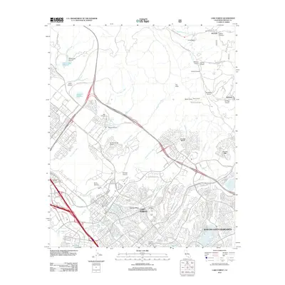
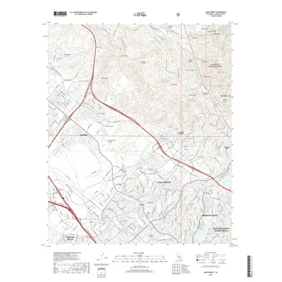
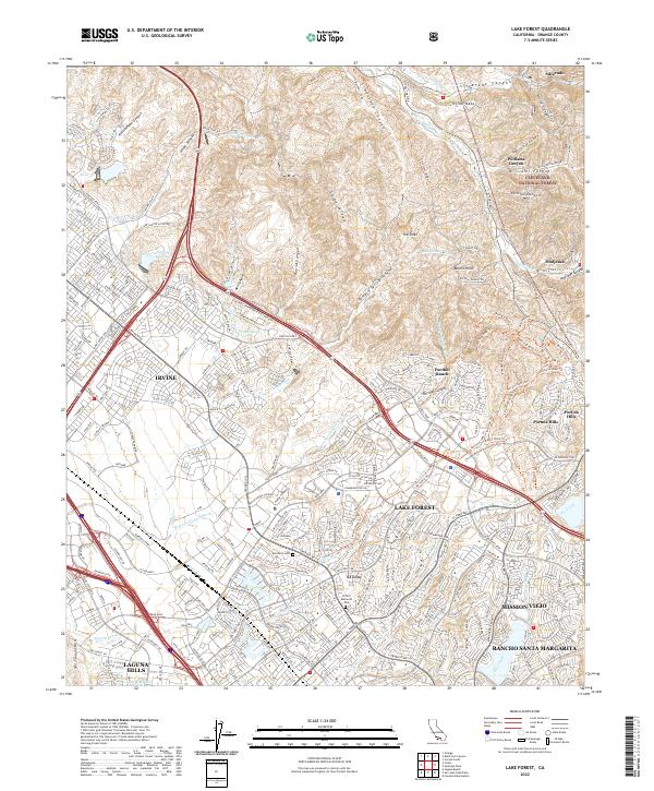 2022 Lake Forest2022 Print · USGSOrange County's modern suburban landscape meets the Santa Ana foothills in this detailed survey of the Lake Forest area. Researchers can trace the development of Foothill Ranch and El Toro alongside landmarks like Ascension Cem and The Sinks.
 - 2022 Map of Canada Gobernadora, 2022 Print
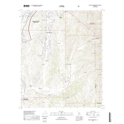
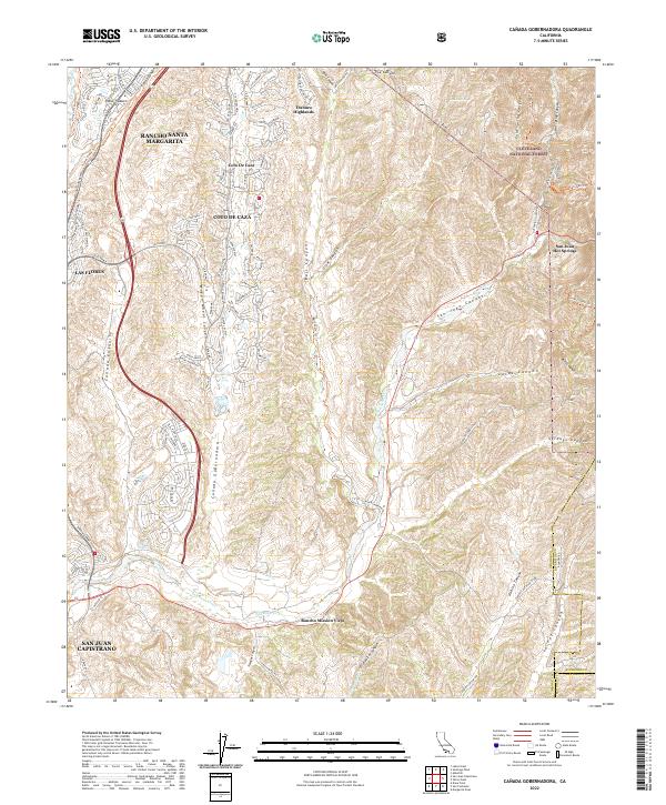 2022 Canada Gobernadora2022 Print · USGSOrange County's canyon country comes into focus in the early 2020s as suburban growth meets the protected wilderness of the Cleveland National Forest. Genealogists and local researchers can trace modern community boundaries from Coto De Caza to the historic Rancho Mission Viejo and the San Juan Hot Springs.
 - 2022 Map of San Juan Capistrano, 2022 Print
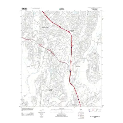
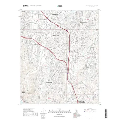
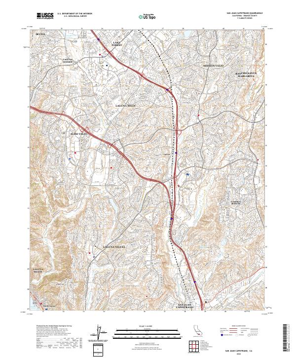 2022 San Juan Capistrano2022 Print · USGSSouthern Orange County in the early twenty-first century is a landscape of master-planned communities and rugged coastal canyons. Trace the development of Laguna Hills and Mission Viejo alongside landmarks like Saddleback College and the Mission Cem.
End of results
Showing maps 1-16 of 16
Top cities near Rancho Santa Margarita
- Anaheim historical maps
- Irvine historical maps
- Corona historical maps
- Orange historical maps
- Mission Viejo historical maps
- Newport Beach historical maps
See more
Top neighborhoods of Rancho Santa Margarita
Frequently asked questions
- What are the different types of historical maps available for Rancho Santa Margarita?
- What is the oldest map of Rancho Santa Margarita?
- Where can I purchase historical maps of Rancho Santa Margarita for my home or office?
- Where can I download high-res historical maps of Rancho Santa Margarita?
- Are there historical topographic maps available for Rancho Santa Margarita?
- Is there historical aerial imagery available for Rancho Santa Margarita?
- Where are historical maps of Rancho Santa Margarita sourced from?