2000s (21st Century) Maps of San Clemente, California
Explore 12 historic maps of San Clemente from the 2000s (21st Century). These maps offer a rare glimpse into what life looked like during the 2000s — showing old roads, neighborhoods, homes, and landmarks that have changed or disappeared over time.
Whether you're researching your family's past, planning a metal detecting trip, or studying how San Clemente's landscape evolved across the 2000s, these high-resolution maps are a powerful tool for exploring the history of this region.
- Focus on a specific era: All maps on this page are from the 2000s, giving you a focused view of this time period.
- See what’s changed: Compare century-old streets, trails, and buildings to today's modern landscape using overlays and satellite layers.
- Research with precision: Use these maps for genealogy, historical research, land use analysis, or educational projects.
- View, download, or print: Maps are fully viewable online in high resolution, and can be downloaded or printed for your own records.
Start exploring San Clemente's history through authentic maps from the 2000s. This is your window into the past.
San Clemente, CA maps
(12)- 2012 Map of San Clemente, 2012 Print
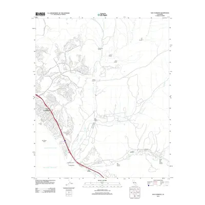 2012 San Clemente2012 Print · USGSCoastal Orange County at the start of the 2010s shows the dense residential grids of San Clemente meeting the open terrain of the Santa Ana foothills. Local historians can trace the canyons of San Mateo Canyon and landmarks like the San Clemente Pier and Trestles Beach.
- 2012 Map of Dana Point, 2012 Print
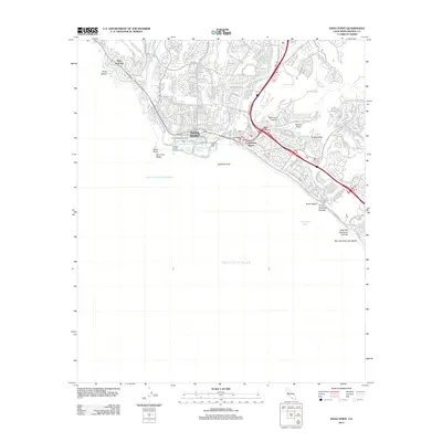 2012 Dana Point2012 Print · USGSCoastal Orange County in the early twenty-first century reveals a landscape of modern maritime development and dramatic Pacific bluffs. Trace the shoreline from Three Arch Bay down to Dana Point Harbor, locating local landmarks like the Orange County Marine Institute.
- 2012 Map of San Onofre Bluff, 2012 Print
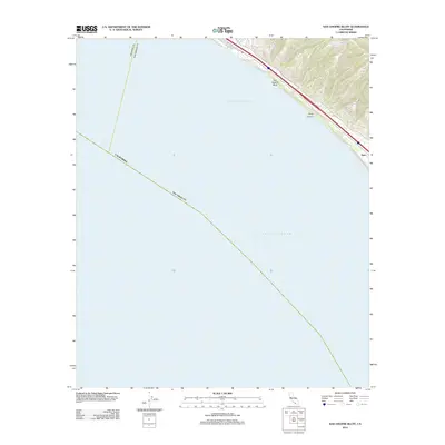 2012 San Onofre Bluff2012 Print · USGSThe Southern California coast near San Clemente appears here in the early twenty-first century, focusing on the narrow bluffs above the ocean. Researchers can trace the path of Old Hwy 101 and locate coastal points like San Onofre Bluff and Agra.
- 2015 Map of San Clemente, 2015 Print
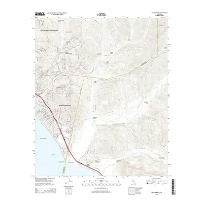 2015 San Clemente2015 Print · USGSCoastal Orange County meets the rugged canyon lands of San Diego County in this detailed mid-2010s survey. Genealogists and local historians can trace the street-level development of San Clemente while locating landmarks like Trestles Beach and the headlands at San Mateo Point.
- 2015 Map of San Onofre Bluff, 2015 Print
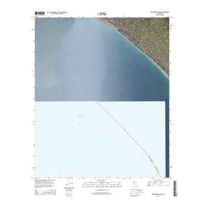 2015 San Onofre Bluff2015 Print · USGSThe Orange and San Diego County line meets the sea along this coastal corridor in the mid-2010s. Researchers can trace the path of El Camino Real and the Old Pacific Hwy as they pass the San Onofre Bluff near Agra.
- 2015 Map of Dana Point, 2015 Print
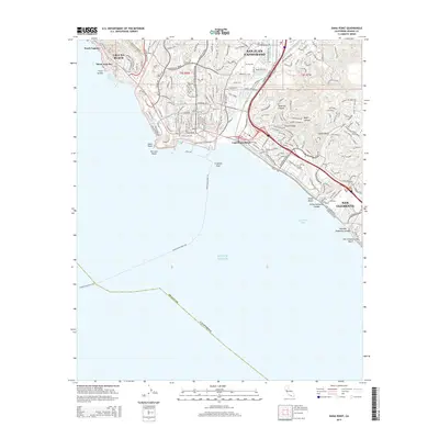 2015 Dana Point2015 Print · USGSCoastal Orange County is mapped here during a decade of continued growth along the surf and bluffs. Trace the modern development of San Juan Capistrano and San Clemente, or locate local landmarks like Dana Point and Poche Beach.
- 2018 Map of Dana Point, 2018 Print
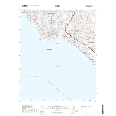 2018 Dana Point2018 Print · USGSCoastal Orange County is shown in the late 2010s, tracing the modern footprint of cities from Laguna Beach down to San Clemente. Researchers can locate specific neighborhoods and trails like Harbor View Trail or landmarks such as Coyote Bluff and Three Arches.
- 2018 Map of San Onofre Bluff, 2018 Print
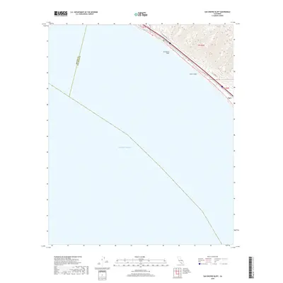 2018 San Onofre Bluff2018 Print · USGSThe Orange and San Diego County line meets the coast here in the late 2010s, where the terrace of the San Onofre Bluff overlooks the sea. Researchers can trace the alignment of the Old Pacific Hwy and El Camino Real as they pass the settlement at Agra.
- 2018 Map of San Clemente, 2018 Print
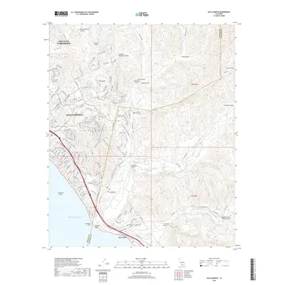 2018 San Clemente2018 Print · USGSThe Orange County coast and the San Diego border come into focus in the late 2010s, showing the dense suburban expansion into the coastal hills. Researchers can trace the path of the Metrolink through San Clemente or explore the rugged canyons of San Mateo Cr and San Onofre Cr.
- 2022 Map of San Onofre Bluff, 2022 Print
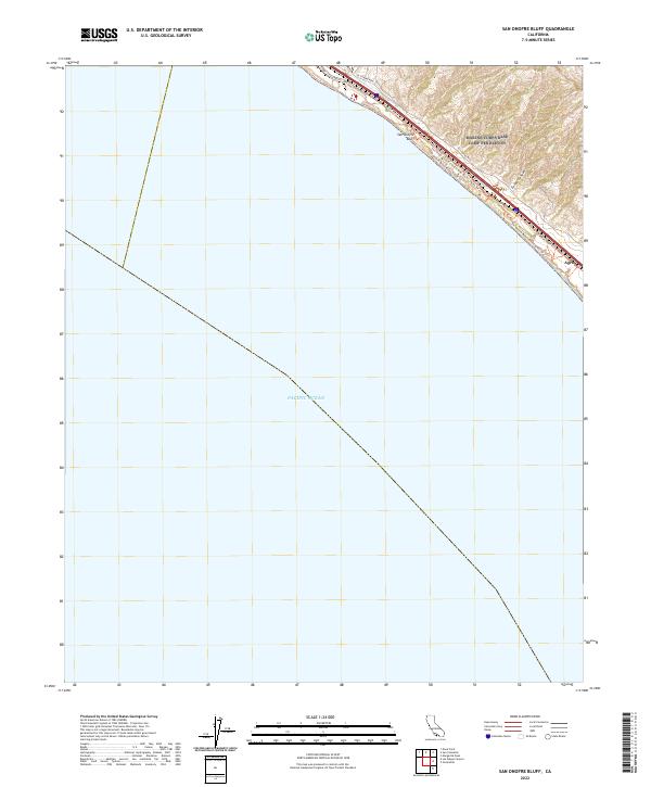 2022 San Onofre Bluff2022 Print · USGSThe coastal corridor north of San Diego comes into focus in this recent survey of the bluffs and canyons. Trace the evolution of California travel along El Camino Real and Old Pacific Hwy near San Onofre Bluff and the steep terrain of Foley Canyon.
- 2022 Map of San Clemente, 2022 Print
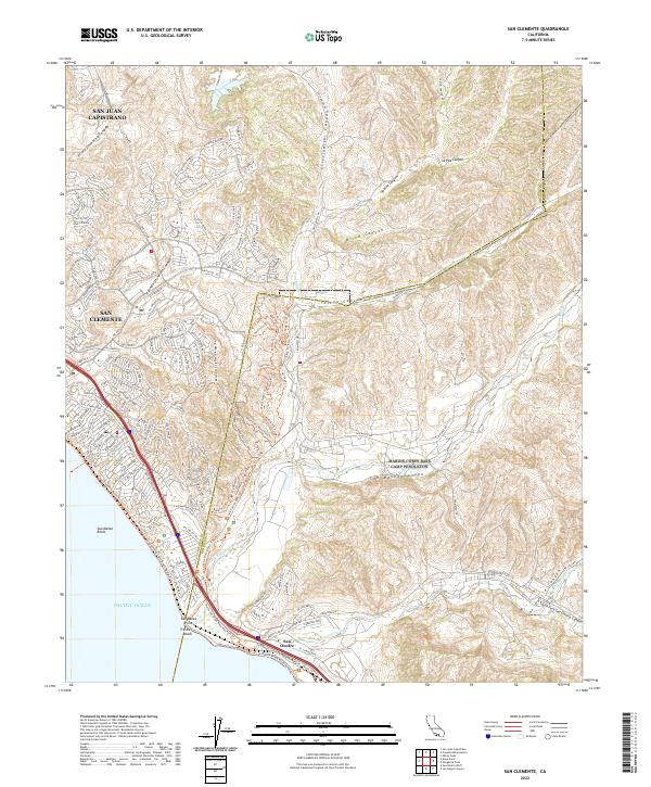 2022 San Clemente2022 Print · USGSThe Orange and San Diego County line comes into focus in this recent survey of the Southern California coast. Trace the suburban development of San Clemente out toward the natural drainages of San Mateo Canyon and the shores of Trestles Beach.
- 2022 Map of Dana Point, 2022 Print
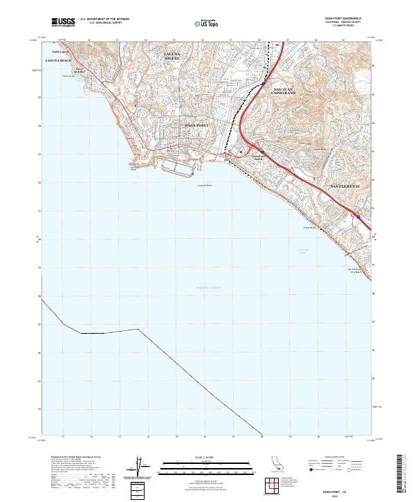 2022 Dana Point2022 Print · USGSCoastal Orange County is captured in this modern survey during a period of intense density and developed trail networks. Trace the shoreline from Three Arch Bay to San Clemente City Beach, locating landmarks like Dana Cove and the Folsom Ridge overlook.
End of results
Showing maps 1-12 of 12
Top cities near San Clemente
- Irvine historical maps
- Oceanside historical maps
- Mission Viejo historical maps
- Newport Beach historical maps
- Lake Forest historical maps
- Laguna Niguel historical maps
See more
Top neighborhoods of San Clemente
- Bay Cliff Village historical maps
- Colony Cove historical maps
- Sea Summit historical maps
- Compass Pointe historical maps
- Flora Vista historical maps
- San Angelo historical maps
See more
Frequently asked questions
- What are the different types of historical maps available for San Clemente?
- What is the oldest map of San Clemente?
- Where can I purchase historical maps of San Clemente for my home or office?
- Where can I download high-res historical maps of San Clemente?
- Are there historical topographic maps available for San Clemente?
- Is there historical aerial imagery available for San Clemente?
- Where are historical maps of San Clemente sourced from?