Old Maps of Coronita, California for Hiking & Exploration
Hike through history with 37 historic maps of Coronita. Explore old trails, ghost towns, and forgotten backroads — perfect for outdoor adventurers and local explorers.
- Rediscover forgotten places: Map out old mining camps, roads, and footpaths that no longer exist on modern maps.
- Layer with modern tools: Combine with LiDAR or satellite views to plan hikes through historical terrain.
- Made for exploration: Popular among hikers, overlanders, and local history lovers.
Use these maps to find adventure and explore the hidden past of Coronita.
Coronita, CA maps
(37)- 1901 Map of Southern California Sheet No. 1
 1901 Southern California Sheet No. 11901 Print · USGSGreater Los Angeles at the dawn of the twentieth century is a landscape of growing citrus towns and a burgeoning rail network. Genealogists and historians can trace the early gridded streets of Hollywood and Pasadena or locate landmarks like Bear Lake and the Cahuilla Indian Reservation.6 unique versions available
 - 1902 Map of Corona
 1902 Corona1902 Print · USGSThe Orange County and Riverside borderlands at the start of the 1900s show an era of rapid rail expansion and water engineering. Researchers can trace the early footprints of Anaheim and Orange or find vanished industry at the Santiago Coal Mine.7 unique versions available
 - 1904 Map of Southern California Sheet No. 1, 1905 Print
 1904 Southern California Sheet No. 11905 Print · USGSSouthern California at the dawn of the twentieth century shows a landscape of citrus groves and coastal towns connected by rail. Genealogists and historians can trace early settlements like San Juan Capistrano, find remote sites like the Rose Mine, and study the original water systems of the Santa Ana River.2 unique versions available
 - 1933 Map of Prado
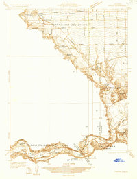 1933 Prado1933 Print · USGSIn the early 1930s, the Chino Valley was a hub of irrigation canals and rail-side settlements before later development changed the landscape. Genealogists and historians can trace old homesteads like Pellissier Ranch and schools like the California Junior Republic School.
 - 1941 Map of Prado
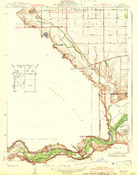 1941 Prado1941 Print · USGSSouthern California's inland corridor is captured here in the 1930s, showing the river valley before the dam changed the landscape forever. Trace the old routes of the Union Pacific through Prado and locate local landmarks like the Pellissier Ranch.2 unique versions available
 - 1942 Map of Corona and Vicinity
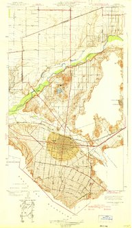 1942 Corona and Vicinity1942 Print · USGSThe Riverside County citrus belt thrives in the early 1940s, showing a landscape defined by orchards and early suburban expansion. Researchers can trace the development of Norco around the Norconian Club or locate regional landmarks like La Sierra College.
 - 1942 Map of Corona, 1947 Print
 1942 Corona1947 Print · USGSRiverside County at the dawn of the 1940s reveals a unique mix of agricultural roots, mountain canyons, and significant regional infrastructure projects. Genealogists and local historians can trace the early street plans of Corona and Norco, or locate landmarks like the East Vale Sch and the Santiago Reservoir.2 unique versions available
 - 1943 Map of Corona
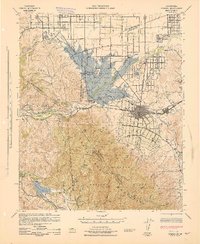 1943 Corona1943 Print · USGSThe Santa Ana River valley during the mid-forties shows a landscape shaped by water management and early inland growth. Trace the development of Corona and Norco alongside the massive Prado Dam and local landmarks like the East Vale Sch.
 - 1947 Map of Santa Ana, 1949 Print
 1947 Santa Ana1949 Print · USGSSouthern California is depicted here in the late forties, showing the expansion of the Inland Empire and the Orange County coast. Researchers can trace the early layout of Palm Springs or locate long-standing tribal lands like the Pala Indian Reservation and Rincon Indian Res.
 - 1949 Map of Santa Ana
 1949 Santa Ana1949 Print · USGSSouthern California underwent a profound transformation in the late 1940s as military installations and citrus groves shared the landscape. Researchers can trace early coastal growth at Laguna Beach, military history at Camp Pendleton, and the rail corridors of the Pacific Electric.
 - 1949 Map of Prado Dam, 1958 Print
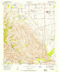 1949 Prado Dam1958 Print · USGSSan Bernardino and Riverside counties meet at the site of the newly completed dam and flood basin in the late 1940s. Trace the footprints of the Cal-Aero Flight Academy, the California Institution for Men, and the Rancho Santa Ana Botanic Gardens.2 unique versions available
 - 1950 Map of Prado Dam
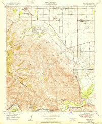 1950 Prado Dam1950 Print · USGSThe Prado Dam area at the start of the 1950s shows a unique mix of institutional expansion, aviation history, and flood control. Local researchers can trace the Cal-Aero Flight Academy, the California Institution for Men, and the Rancho Santa Ana Botanic Gardens.
 - 1954 Map of Corona South, 1955 Print
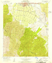 1954 Corona South1955 Print · USGSThe foothills of Riverside County come alive in the mid-1950s as citrus groves and early suburban developments like El Cerrito Village border the mountains. Genealogists and historians can locate Sunnyslope Cemetery, the Butterfield Stage Sta Historical Marker, and several local schools.2 unique versions available
 - 1954 Map of Corona North, 1955 Print
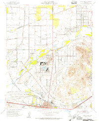 1954 Corona North1955 Print · USGSThe northern Chino Basin and the Santa Ana River valley are captured here in the mid-fifties, showing a mix of military installations and citrus groves. Genealogists and local historians can trace family-named sites like Fuller Ranch, early education at East Vale School, and the grounds of the Naval Hospital.2 unique versions available
 - 1956 Map of Santa Ana
 1956 Santa Ana1956 Print · USGSSouthern California underwent massive mid-century transformation as suburban growth met major military and water projects. Trace the postwar expansion of Santa Ana and Riverside, the layout of Camp Pendleton, and the path of the Colorado River Aqueduct.
 - 1959 Map of Santa Ana, 1971 Print
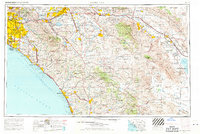 1959 Santa Ana1971 Print · USGSSouthern California is captured in a decade of transformation, from the Orange County coast to the desert floor. Researchers can trace the mid-century footprints of Camp Pendleton, March Air Force Base, and the original Ortega Highway.3 unique versions available
 - 1960 Map of Santa Ana
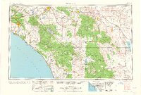 1960 Santa Ana1960 Print · USGSSouthern California's coastal plains and inland deserts meet in this mid-century survey of the burgeoning Orange and Riverside county corridors. Researchers can trace the layout of early freeway systems, find tribal lands like the Soboba Indian Reservation, and locate military landmarks such as March Field.2 unique versions available
 - 1965 Map of Santa Ana
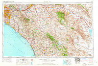 1965 Santa Ana1965 Print · USGSSouthern California is captured in a decade of rapid growth, showing the coastal expansion from Santa Ana down to Oceanside. Genealogists and historians can trace the mid-century development of places like Garden Grove or the rural reaches of Escondido and the Palomar Observatory.
 - 1967 Map of Prado Dam, 1968 Print
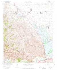 1967 Prado Dam1968 Print · USGSSan Bernardino County at the height of the 1960s reveals a landscape balancing massive flood control projects with institutional expansion. Trace the historic Yorba Slaughter Adobe and the grounds of Boys Republic near the rising Prado Dam.5 unique versions available
 - 1967 Map of Corona North, 1969 Print
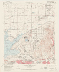 1967 Corona North1969 Print · USGSRiverside and Corona are captured in the late sixties as suburban development begins to encircle established naval and state institutions. Researchers can trace the layout of La Sierra College, the historic Lake Norconian, and the sprawling Prado Flood Control Basin.6 unique versions available
 - 1967 Map of Corona South, 1969 Print
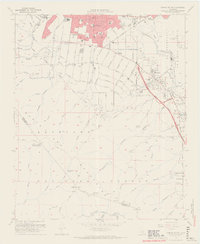 1967 Corona South1969 Print · USGSThe foothills south of Corona come alive in the late sixties as suburban development meets the rugged Santa Ana Mountains. Genealogists and local historians can trace the foundations of the community at Sunnyslope Cemetery, the Butterfield Stage Sta Historical Marker, and several mid-century schools like Raney Jr High Sch.6 unique versions available
 - 1974 Map of Corona South, 1975 Print
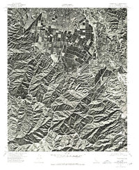 1974 Corona South1975 Print · USGSRiverside and Orange County landscapes are captured in 1974 through high-resolution aerial imagery during a period of rapid suburban expansion. Researchers can trace the intersection of commercial agriculture and natural terrain through the winding path of Bedford Canyon.
 - 1975 Map of Corona North, 1979 Print
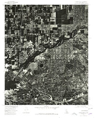 1975 Corona North1979 Print · USGSThe Riverside area comes into sharp focus during the mid-seventies as agricultural fields begin to give way to suburban development. Local historians can trace the intricate landscape of the Prado flood basin and the growing neighborhoods of Riverside during this period of transition.
 - 1983 Map of Santa Ana
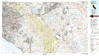 1983 Santa Ana1983 Print · USGSCoastal Orange County meets the Inland Empire in the early eighties as suburban growth accelerates through the SANTA ANA MOUNTAINS. Researchers can trace institutional and military history at MARCH AIR FORCE BASE, locate the Santiago Coal Mine, or find family sites near Fairhaven Cem.
 - 1997 Map of Corona South, 2000 Print
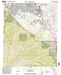 1997 Corona South2000 Print · USGSCorona and its surrounding foothill communities are shown in the late nineties as residential growth meets the mountains. Trace local landmarks like Sunnyslope Cemetery, the Butterfield Stage Sta Historical Marker, and the Kilns near Temescal Wash.
Showing maps 1-25 of 37
Top cities near Coronita
- Anaheim historical maps
- Santa Ana historical maps
- Riverside historical maps
- Irvine historical maps
- Fontana historical maps
- Ontario historical maps
See more
Top neighborhoods of Coronita
Frequently asked questions
- What are the different types of historical maps available for Coronita?
- What is the oldest map of Coronita?
- Where can I purchase historical maps of Coronita for my home or office?
- Where can I download high-res historical maps of Coronita?
- Are there historical topographic maps available for Coronita?
- Is there historical aerial imagery available for Coronita?
- Where are historical maps of Coronita sourced from?