2020s Maps of Murrieta, California
Explore 7 historic maps of Murrieta from the 2020s. These maps offer a rare glimpse into what life looked like during the 2020s — showing old roads, neighborhoods, homes, and landmarks that have changed or disappeared over time.
Whether you're researching your family's past, planning a metal detecting trip, or studying how Murrieta's landscape evolved across the 2020s, these high-resolution maps are a powerful tool for exploring the history of this region.
- Focus on a specific era: All maps on this page are from the 2020s, giving you a focused view of this time period.
- See what’s changed: Compare century-old streets, trails, and buildings to today's modern landscape using overlays and satellite layers.
- Research with precision: Use these maps for genealogy, historical research, land use analysis, or educational projects.
- View, download, or print: Maps are fully viewable online in high resolution, and can be downloaded or printed for your own records.
Start exploring Murrieta's history through authentic maps from the 2020s. This is your window into the past.
Murrieta, CA maps
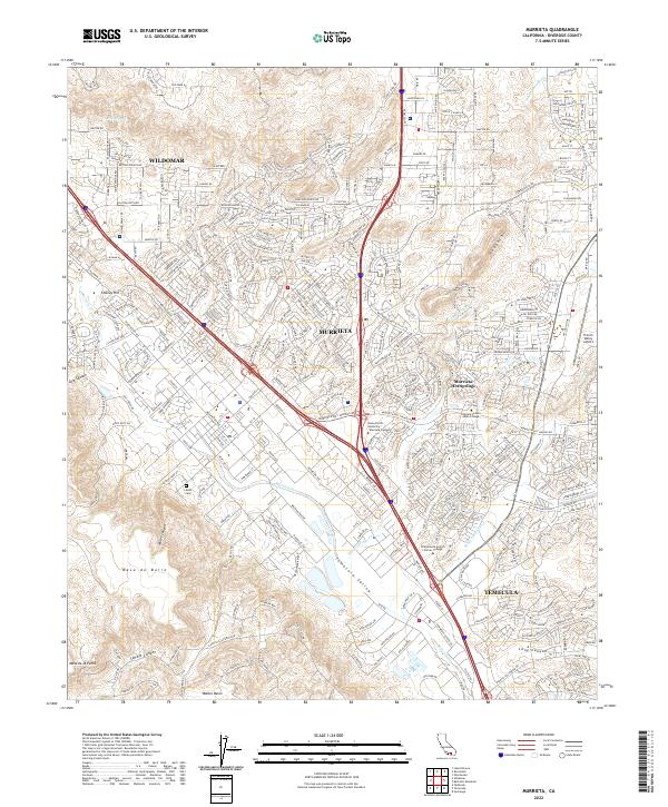
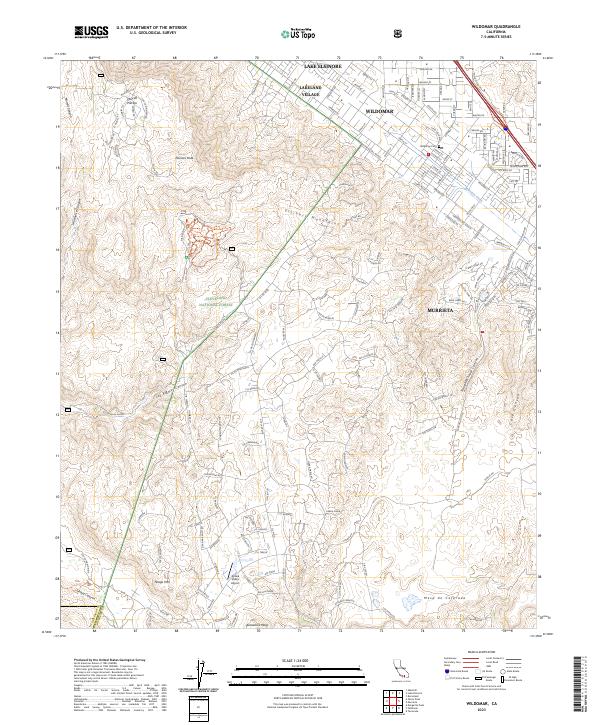
(7)- 2021 Map of Wildomar, 2021 Print
 2021 Wildomar2021 Print · USGSCovers Murrieta, including Lake Elsinore, Wildomar, and other nearby areas
 - 2021 Map of Bachelor Mountain, 2021 Print
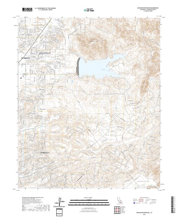 2021 Bachelor Mountain2021 Print · USGSRiverside County's developing interior comes into focus during the early twenty-first century as vineyards and suburbs meet the Bachelor Mtn foothills. Researchers can trace the water infrastructure of the San Diego Canal and identify landmarks like Skunk Hollow and Billy Joe Airport.
 - 2021 Map of Winchester, 2021 Print
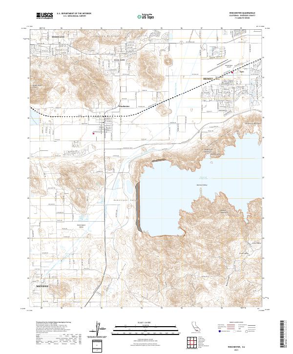 2021 Winchester2021 Print · USGSModern development meets large-scale water management in the San Jacinto Valley of the early 2020s. Trace the growth of Winchester and Menifee alongside the massive Diamond Valley Lake and the San Diego Canal.
 - 2022 Map of Murrieta, 2022 Print
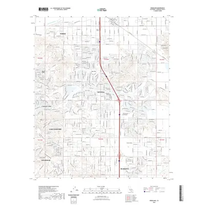
 2022 Murrieta2022 Print · USGSRiverside County’s rapid development is on full display in this modern survey of the Temecula Valley. Researchers can trace local landmarks like Laurel Cem, Murrieta Hot Springs, and the specialized campus of the Professional Golfers Career College.
 - 2022 Map of Romoland, 2022 Print
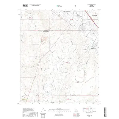
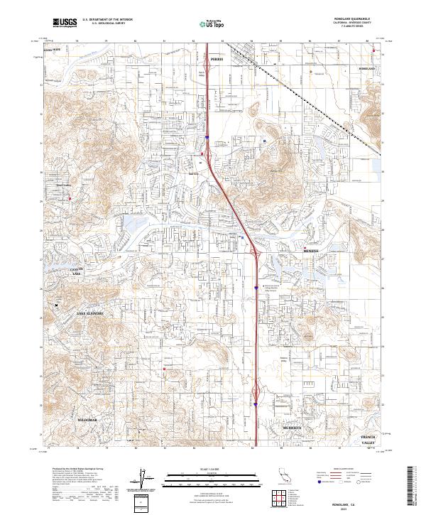
 2022 Romoland2022 Print · USGSCovers Murrieta, including Menifee, Perris, and other nearby areas
 - 2023 Map of Romoland, 2023 Print
 2023 Romoland2023 Print · USGSThe valleys of southern Riverside County come into focus in 2023 as residential growth fills the landscape between Sun City and MENIFEE. Researchers can locate family landmarks like the Manker Family Cem or trace the winding paths of Railroad Canyon and the San Jacinto River.
 - 2023 Map of Wildomar, 2023 Print
 2023 Wildomar2023 Print · USGSWildomar and Murrieta are shown here as they transition into the Elsinore Mountains during the early 2020s. Researchers can trace local landmarks like Wildomar Cem, the Tenaja Valley Airport, and the high reaches of Elsinore Peak.
End of results
Showing maps 1-7 of 7
Top cities near Murrieta
- Temecula historical maps
- Menifee historical maps
- Hemet historical maps
- Perris historical maps
- San Jacinto historical maps
- Lake Elsinore historical maps
See more
Top neighborhoods of Murrieta
- Keller Crossing historical maps
- Murrieta Hot Springs historical maps
- Linda Rosa historical maps
- Mapleton historical maps
- California Oaks historical maps
- Spencer's Crossing historical maps
See more
Frequently asked questions
- What are the different types of historical maps available for Murrieta?
- What is the oldest map of Murrieta?
- Where can I purchase historical maps of Murrieta for my home or office?
- Where can I download high-res historical maps of Murrieta?
- Are there historical topographic maps available for Murrieta?
- Is there historical aerial imagery available for Murrieta?
- Where are historical maps of Murrieta sourced from?