Old Maps of Goffs, California for Genealogy
Trace your family roots with 13 historic maps of Goffs. These high-res maps reveal old neighborhoods, homesites, landmarks, and streets — helping you uncover where your ancestors lived and how the area evolved over time.
- Explore historic neighborhoods: Identify where your relatives may have lived in the 1800s or 1900s.
- Compare maps over time: Trace the changes in streets, buildings, and landmarks for multi-generational research.
- Perfect for genealogy & ancestry research: Used by family historians and researchers to map out lineage and migration.
These maps are an incredible resource for exploring your personal connection to Goffs's past.
Goffs, CA maps
(13)- 1942 Map of Amboy
 1942 Amboy1942 Print · USGSSan Bernardino's high desert reveals its rail-and-road bones in the 1940s as transcontinental traffic pulses along the iconic route 66. Researchers can trace the water sources and small stations that made desert life possible, from Bonanza King Well and Wilhelm Camp to the rail stops at Amboy and Cadiz.
 - 1943 Map of Amboy
 1943 Amboy1943 Print · USGSThe Mojave Desert during the Second World War reveals a landscape of critical military training and vital rail infrastructure. Genealogists and historians can trace desert outposts like Bolo Station, the industrial Lime Mine Refinery, and the wartime 3rd Armd Div Camp.
 - 1943 Map of Fenner
 1943 Fenner1943 Print · USGSSan Bernardino County was a critical training ground during the early 1940s, with this survey mapping the essential rail and water points. Researchers can trace the path of the Atchison Topeka and Santa Fe through desert stops like Goffs and Fenner.
 - 1954 Map of Needles
 1954 Needles1954 Print · USGSThe Mojave Desert at the height of the mid-century era shows a landscape defined by the Atchison Topeka and Santa Fe railroad and the legendary U S Highway 66. Genealogists and historians can trace rail stops like Goffs, mining sites such as the Bonanza King Mine, and the early borders of the Chemehuevi Indian Reservation.
 - 1956 Map of Needles
 1956 Needles1956 Print · USGSThe Mojave Desert and Colorado River come alive in the mid-fifties, showing the intersection of vital rail lines and massive water projects. Trace the Atchison Topeka and Santa Fe line through Amboy or locate remote sites like the Copper World Mine and Rio Vista Guest Ranch.7 unique versions available
 - 1956 Map of Fenner, 1958 Print
 1956 Fenner1958 Print · USGSThe Mojave Desert in the mid-fifties is defined here by isolated rail stops and transcontinental routes. Trace the remnants of travel and mining history through Goffs, the Old National Trails, and the remote Mtn Spring Camp.3 unique versions available
 - 1981 Map of Needles, 1987 Print
 1981 Needles1987 Print · USGSThe High Desert and Colorado River valley are seen here in the early 1980s through the unique lens of satellite imagery. Trace the isolated outposts of the AT & SF railroad at Goffs and Essex, or explore the sprawling shores of Lake Havasu.
 - 1984 Map of Goffs
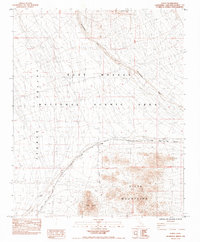 1984 Goffs1984 Print · USGSThe Mojave Desert at the start of the 1980s reveals a landscape shaped by transportation and mining. Trace the rail legacy of the Atchison Topeka and Santa Fe through Goffs or locate the US Arbor Mine and Goffs Butte.2 unique versions available
 - 1985 Map of Amboy
 1985 Amboy1985 Print · USGSSan Bernardino County in the mid-eighties shows a high desert landscape defined by the Atchison Topeka and Santa Fe railroad and remote mining camps. Researchers can trace the desert road network connecting Amboy and Essex or locate historic shafts like the Silver King Mine.
 - 2012 Map of Goffs, 2012 Print
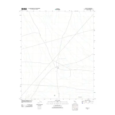 2012 Goffs2012 Print · USGSThe Mojave Desert settlement of Goffs is captured at the start of the 2010s, showing its position as a high-desert crossroads. Researchers can trace the junction of Goffs Rd and Lanfair Rd near the landmark Goffs Butte.
 - 2015 Map of Goffs, 2015 Print
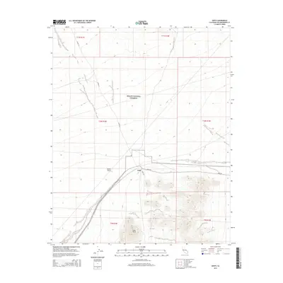 2015 Goffs2015 Print · USGSGoffs and the surrounding eastern Mojave Desert are shown in this contemporary topographical record. Researchers can trace the infrastructure of the settlement near Goffs Butte and follow the paths of Lanfair Rd and Goffs Rd through the Mojave National Preserve.
 - 2018 Map of Goffs, 2018 Print
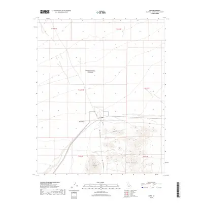 2018 Goffs2018 Print · USGSThe high desert settlement of Goffs and its surrounding territory are captured here during the late 2010s. Researchers can trace the network of desert roads and natural landmarks including Goffs Butte, Lanfair Rd, and the Piute Mountains.
 - 2021 Map of Goffs, 2021 Print
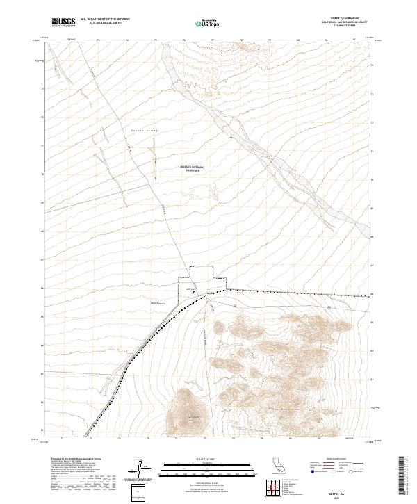 2021 Goffs2021 Print · USGSThe high desert settlement of Goffs and the eastern reaches of the Fenner Valley are captured here in the early twenty-first century. Researchers can locate the Goffs Cem and trace the paths of Lanfair Rd and Nomac Rd as they cross the Mojave Desert.
End of results
Showing maps 1-13 of 13
Frequently asked questions
- What are the different types of historical maps available for Goffs?
- What is the oldest map of Goffs?
- Where can I purchase historical maps of Goffs for my home or office?
- Where can I download high-res historical maps of Goffs?
- Are there historical topographic maps available for Goffs?
- Is there historical aerial imagery available for Goffs?
- Where are historical maps of Goffs sourced from?