Old Maps of Vidal, California for Metal Detecting
Plan your next treasure hunt with 12 historic maps of Vidal. Find old homesites, ghost towns, trails, and gathering spots that may be lost to time — perfect for identifying promising metal detecting locations.
- Locate forgotten sites: Uncover places like long-lost settlements, abandoned rail lines, or gathering spots.
- Plan better hunts: Use map overlays combined with LiDAR or satellite views to narrow in on historically rich areas.
- Made for detectorists: Thousands of hobbyists use these maps to discover relics, coins, and hidden history.
Use these historic maps to boost your research and find new opportunities beneath the surface of Vidal.
Vidal, CA maps
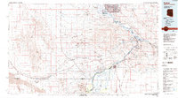
(12)- 1943 Map of Vidal, 1944 Print
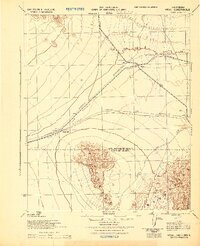 1943 Vidal1944 Print · USGSThe eastern Mojave Desert is captured here during the Second World War as a vital military maneuver area. Researchers can trace the infrastructure of the Metropolitan Water District Aqueduct and early desert outposts like Grommet and Vidal.
 - 1949 Map of Vidal, 1963 Print
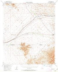 1949 Vidal1963 Print · USGSThe California desert comes alive mid-century as a hub for rail transit and mountain mining. Trace the Atchison Topeka and Santa Fe rail line through Vidal and Grommet, or locate remote desert workings like the Gold Rice Mine.2 unique versions available
 - 1950 Map of Vidal
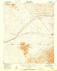 1950 Vidal1950 Print · USGSIn the California desert during the early fifties, the rail and water networks converged at the crossing of the San Bernardino Base Line. Trace the sites of desert mining operations like the Jacklin Mine or visit the remote Vidal Junction and the railroad stop at Grommet.2 unique versions available
 - 1954 Map of Needles
 1954 Needles1954 Print · USGSThe Mojave Desert at the height of the mid-century era shows a landscape defined by the Atchison Topeka and Santa Fe railroad and the legendary U S Highway 66. Genealogists and historians can trace rail stops like Goffs, mining sites such as the Bonanza King Mine, and the early borders of the Chemehuevi Indian Reservation.
 - 1956 Map of Needles
 1956 Needles1956 Print · USGSThe Mojave Desert and Colorado River come alive in the mid-fifties, showing the intersection of vital rail lines and massive water projects. Trace the Atchison Topeka and Santa Fe line through Amboy or locate remote sites like the Copper World Mine and Rio Vista Guest Ranch.7 unique versions available
 - 1971 Map of Vidal, 1973 Print
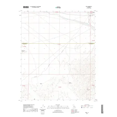
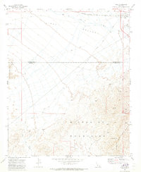 1971 Vidal1973 Print · USGSVidal and the surrounding desert mining districts are documented here in the early seventies, showing a landscape defined by rail and resource extraction. Mineral hunters and historians can trace numerous workings like the Alice Mine, Gold Dollar Mine, and the secluded Holly Cem.2 unique versions available
 - 1981 Map of Needles, 1987 Print
 1981 Needles1987 Print · USGSThe High Desert and Colorado River valley are seen here in the early 1980s through the unique lens of satellite imagery. Trace the isolated outposts of the AT & SF railroad at Goffs and Essex, or explore the sprawling shores of Lake Havasu.
 - 1985 Map of Parker
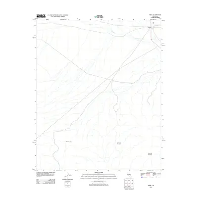
 1985 Parker1985 Print · USGSThe Colorado River valley in the mid-eighties was a hub of desert transit, mining, and water management. Researchers can trace the path of the Atchison Topeka and Santa Fe railroad through Vidal Junction and locate numerous historic diggings like the Gold Hill Mine or Billy Mack Mine.2 unique versions available
 - 2012 Map of Vidal, 2012 Print
 2012 Vidal2012 Print · USGSCovers Vidal, including San Bernardino County, Riverside County, and other nearby areas
 - 2015 Map of Vidal, 2015 Print
 2015 Vidal2015 Print · USGSCovers Vidal, including San Bernardino County, Riverside County, and other nearby areas
 - 2018 Map of Vidal, 2018 Print
 2018 Vidal2018 Print · USGSCovers Vidal, including San Bernardino County, Riverside County, and other nearby areas
 - 2021 Map of Vidal, 2021 Print
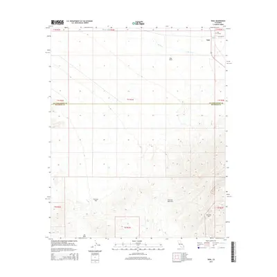
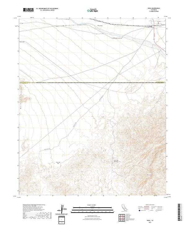 2021 Vidal2021 Print · USGSThe desert settlement of Vidal and the rugged Riverside Mountains are mapped here at the San Bernardino and Riverside county line. Researchers can trace the local routes around Vidal and locate Holly Cem or the high crossing at Riverside Pass.
End of results
Showing maps 1-12 of 12
Top cities near Vidal
- Parker historical maps
- Parker historical maps
- Big River historical maps
- Poston historical maps
- Bluewater historical maps
Frequently asked questions
- What are the different types of historical maps available for Vidal?
- What is the oldest map of Vidal?
- Where can I purchase historical maps of Vidal for my home or office?
- Where can I download high-res historical maps of Vidal?
- Are there historical topographic maps available for Vidal?
- Is there historical aerial imagery available for Vidal?
- Where are historical maps of Vidal sourced from?