2000s (21st Century) Maps of Yucaipa, California
Explore 12 historic maps of Yucaipa from the 2000s (21st Century). These maps offer a rare glimpse into what life looked like during the 2000s — showing old roads, neighborhoods, homes, and landmarks that have changed or disappeared over time.
Whether you're researching your family's past, planning a metal detecting trip, or studying how Yucaipa's landscape evolved across the 2000s, these high-resolution maps are a powerful tool for exploring the history of this region.
- Focus on a specific era: All maps on this page are from the 2000s, giving you a focused view of this time period.
- See what’s changed: Compare century-old streets, trails, and buildings to today's modern landscape using overlays and satellite layers.
- Research with precision: Use these maps for genealogy, historical research, land use analysis, or educational projects.
- View, download, or print: Maps are fully viewable online in high resolution, and can be downloaded or printed for your own records.
Start exploring Yucaipa's history through authentic maps from the 2000s. This is your window into the past.
Yucaipa, CA maps
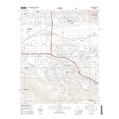
(12)- 2012 Map of Yucaipa, 2012 Print
 2012 Yucaipa2012 Print · USGSCovers Yucaipa, including Redlands, Highland, and other nearby areas
 - 2012 Map of Forest Falls, 2012 Print
 2012 Forest Falls2012 Print · USGSCovers Yucaipa, including Banning, Calimesa, and other nearby areas
 - 2012 Map of Redlands, 2012 Print
 2012 Redlands2012 Print · USGSCovers Yucaipa, including Redlands, Highland, and other nearby areas
 - 2015 Map of Forest Falls, 2015 Print
 2015 Forest Falls2015 Print · USGSCovers Yucaipa, including Banning, Calimesa, and other nearby areas
 - 2015 Map of Redlands, 2015 Print
 2015 Redlands2015 Print · USGSCovers Yucaipa, including Redlands, Highland, and other nearby areas
 - 2015 Map of Yucaipa, 2015 Print
 2015 Yucaipa2015 Print · USGSCovers Yucaipa, including Redlands, Highland, and other nearby areas
 - 2018 Map of Forest Falls, 2018 Print
 2018 Forest Falls2018 Print · USGSCovers Yucaipa, including Banning, Calimesa, and other nearby areas
 - 2018 Map of Yucaipa, 2018 Print
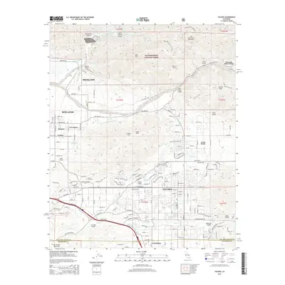
 2018 Yucaipa2018 Print · USGSCovers Yucaipa, including Redlands, Highland, and other nearby areas
 - 2018 Map of Redlands, 2018 Print
 2018 Redlands2018 Print · USGSCovers Yucaipa, including Redlands, Highland, and other nearby areas
 - 2021 Map of Yucaipa, 2021 Print
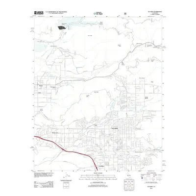
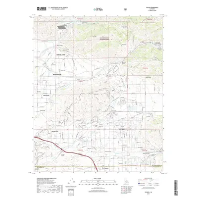
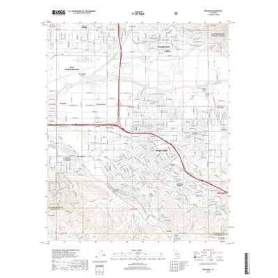
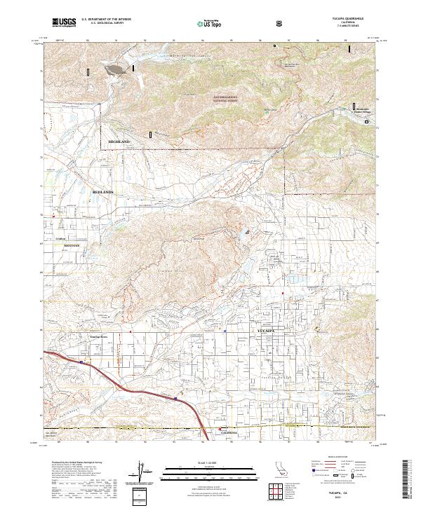 2021 Yucaipa2021 Print · USGSThe Yucaipa Valley and San Bernardino foothills are shown here in the early twenty-first century as urban growth meets the national forest. Trace the historic water routes of The Zanja and the Redlands Aqueduct or find Mountain Home Village.
 - 2021 Map of Redlands, 2021 Print
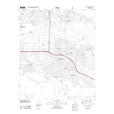
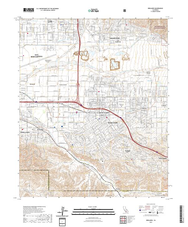 2021 Redlands2021 Print · USGSThe San Bernardino Valley is seen here at a point of high density, where suburban growth meets the dramatic ridges of The Badlands. Genealogists and historians can trace the limits of Redlands and Highland, identifying landmarks like the University of Redlands and Bryn Mawr.
 - 2021 Map of Forest Falls, 2021 Print
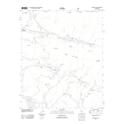
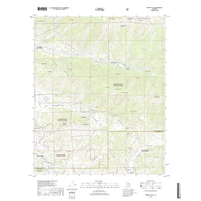
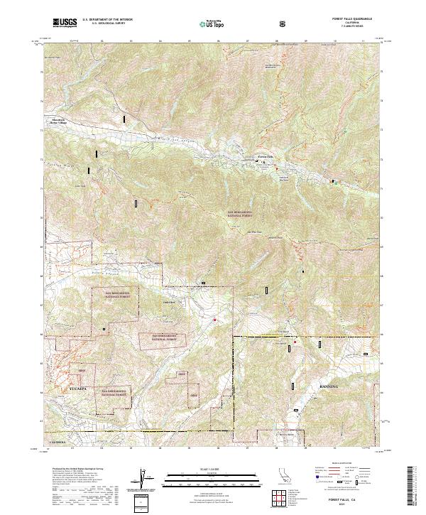 2021 Forest Falls2021 Print · USGSThe San Bernardino Mountains are shown in high detail during the early 2020s, centering on the communities of Forest Falls and Oak Glen. Researchers can trace trail networks like the San Bernardino Peak Trl and identify local landmarks from Potato Canyon to Pine Bench.
End of results
Showing maps 1-12 of 12
Top cities near Yucaipa
- Moreno Valley historical maps
- Redlands historical maps
- Highland historical maps
- Perris historical maps
- San Jacinto historical maps
- Banning historical maps
See more
Top neighborhoods of Yucaipa
Frequently asked questions
- What are the different types of historical maps available for Yucaipa?
- What is the oldest map of Yucaipa?
- Where can I purchase historical maps of Yucaipa for my home or office?
- Where can I download high-res historical maps of Yucaipa?
- Are there historical topographic maps available for Yucaipa?
- Is there historical aerial imagery available for Yucaipa?
- Where are historical maps of Yucaipa sourced from?