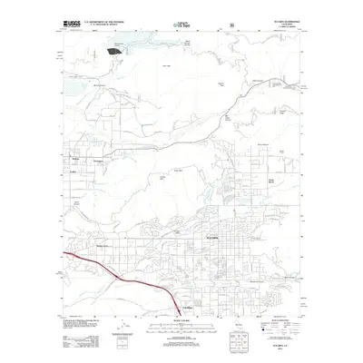
2012 Map of Yucaipa
USGS Topo · Published 2012About this map
Yucaipa and Calimesa dominate the southern portion of this landscape, where suburban expansion meets the steep rising slopes of the San Bernardino Mountains. The northern half of the region is defined by deep drainages like Mill Creek Canyon and the Santa Ana River, which provide the hydrological foundation for the local valley communities. Traceable water features such as The Zanja irrigation canal and the North Fork Canal illustrate the engineering required to sustain agricultural and residential growth in this semi-arid climate. Between the urban centers and the peaks of Yucaipa Ridge, the Crafton Hills stand as a natural barrier, punctuated by Zanja Peak. Small settlements and landmarks like Dunlap Acres, Mentone, and the Jackson Ranch provide historical touchpoints for researchers studying the transition from early ranching and citrus farming to modern inland development.
Find a feature on this map
123 named features on this map. Tap any name to fly to it.
Don’t see what you’re looking for? This feature index may not catch every label — zoom into the map to look around manually.
Map Details
Editions of this 2012 Yucaipa Map
This is the sole edition of this map. No revisions or reprints were ever made.
Other maps of this area

1899 · Redlands
USGS Topo · 1:62,500

1901 · Southern California Sheet No. 1
USGS Topo · 1:250,000

1901 · San Jacinto
USGS Topo · 1:125,000

1901 · Redlands
USGS Topo · 1:62,500

1901 · Elsinore
USGS Topo · 1:125,000

1902 · San Gorgonio
USGS Topo · 1:125,000

1904 · Southern California Sheet No. 1
USGS Topo · 1:250,000

1942 · Banning
USGS Topo · 1:62,500

1942 · Perris
USGS Topo · 1:62,500

1943 · Perris
USGS Topo · 1:62,500