Old Maps of Holt, California for Genealogy
Trace your family roots with 13 historic maps of Holt. These high-res maps reveal old neighborhoods, homesites, landmarks, and streets — helping you uncover where your ancestors lived and how the area evolved over time.
- Explore historic neighborhoods: Identify where your relatives may have lived in the 1800s or 1900s.
- Compare maps over time: Trace the changes in streets, buildings, and landmarks for multi-generational research.
- Perfect for genealogy & ancestry research: Used by family historians and researchers to map out lineage and migration.
These maps are an incredible resource for exploring your personal connection to Holt's past.
Holt, CA maps
(13)- 1913 Map of Holt
 1913 Holt1913 Print · USGSThe San Joaquin Delta at the height of its reclamation era is captured here, showing the complex lattice of sloughs and leveed tracts. Researchers can locate vanished landings and schools like Blackslough Landing, Eldorado Landing, and Kingston School.2 unique versions available
 - 1947 Map of San Jose, 1948 Print
 1947 San Jose1948 Print · USGSNorthern California's heartland is captured here just after the war, showing the rapid growth of the Santa Clara and Central Valleys. Researchers can trace the legacy of rail and water at Castle Air Force Base, Stockton, and the Hetch Hetchy Aqueduct.
 - 1952 Map of Holt, 1953 Print
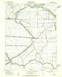 1952 Holt1953 Print · USGSThe San Joaquin Delta of the early fifties is presented here as a maze of leveed agricultural islands and vital shipping lanes. Genealogists and historians can trace the Atchison Topeka and Santa Fe rail corridor past Holt and identify family-named lands like the Drexler Tract.3 unique versions available
 - 1952 Map of Stockton, 1959 Print
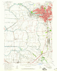 1952 Stockton1959 Print · USGSThe San Joaquin Delta during the early fifties shows a thriving river economy and growing urban centers at the heart of the Central Valley. Genealogists can trace rural life through numerous one-room schools like David Bixler School or find industrial roots at the Sugar Refinery and Sharpe General Depot.2 unique versions available
 - 1956 Map of San Jose
 1956 San Jose1956 Print · USGSCentral California in the mid-fifties reveals the transition from sprawling orchards to growing urban hubs like San Jose and Stockton. Genealogists and historians can trace the rail-era landscape of the Mother Lode through Chinese Camp and Tuttletown, or follow the water through the Joaquin River and Calaveras Reservoir.
 - 1962 Map of San Jose
 1962 San Jose1962 Print · USGSCentral California in the early sixties showcases the expansion of the San Joaquin and Santa Clara valleys. Researchers can trace the rail-to-road transition along the Southern Pacific RR or locate landmarks like Castle USAF Base and Loma Prieta.4 unique versions available
 - 1966 Map of San Jose
 1966 San Jose1966 Print · USGSCentral California in the mid-1960s reveals a landscape of massive irrigation projects and expanding Cold War military footprints. Researchers can trace the rail-and-river network of the San Joaquin Valley or locate specialized sites like Castle Air Force Base and the Sharp General Depot (Military).
 - 1978 Map of Holt
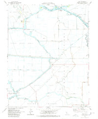 1978 Holt1978 Print · USGSThe San Joaquin Delta of the late seventies is a landscape of reclaimed tracts and busy waterways. Trace the rail-and-river economy through Holt, the McDonald Island Fy, and the path of the Mokelumne Aqueduct.3 unique versions available
 - 1989 Map of Stockton
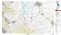 1989 Stockton1989 Print · USGSDuring the late 1980s, the California Delta and San Joaquin Valley saw a massive convergence of water infrastructure and military logistics. Researchers can trace the sprawling Lawrence Livermore Laboratory (Univ of Calif) and Sharpe Army Depot alongside the complex waterways of Union Island and Victoria Island.2 unique versions available
 - 2012 Map of Holt, 2012 Print
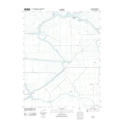 2012 Holt2012 Print · USGSThe San Joaquin River delta comes into focus during the early 21st century, illustrating a landscape of reclaimed islands and agricultural tracts. Researchers can trace historic water-access points like McDonald Island Ferry and Blackslough Landing alongside the Mokelumne Aqueduct.
 - 2015 Map of Holt, 2015 Print
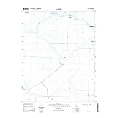 2015 Holt2015 Print · USGSThe California Delta comes to life in this mid-2010s survey, showing the intricate balance of water and agriculture west of STOCKTON. Researchers can trace the path of the Mokelumne Aqueduct and locate small landings and settlements like Holt and Gillis.
 - 2018 Map of Holt, 2018 Print
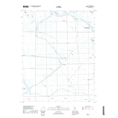 2018 Holt2018 Print · USGSThe San Joaquin Delta west of Stockton is captured in this modern survey of an engineered landscape defined by water and transit. Trace the massive Mokelumne Aqueduct through the community of Holt or locate the islands of McDonald Island and Victoria Island among the sloughs.
 - 2021 Map of Holt, 2021 Print
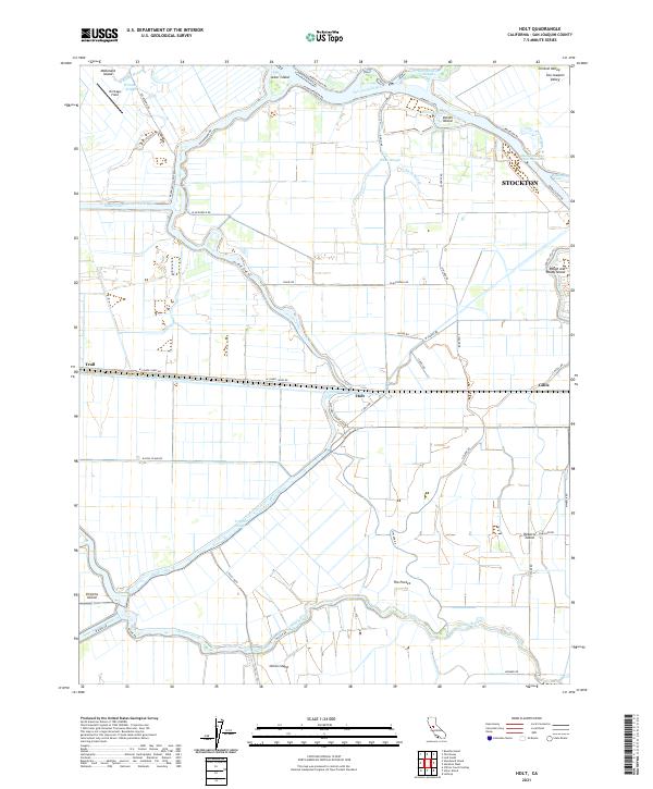 2021 Holt2021 Print · USGSThe California Delta west of Stockton comes alive in this contemporary survey of reclaimed islands and intricate waterways. Trace the path of the Mokelumne Aqueduct as it passes near Holt and search the shores of Windmill Cove or Whiskey Slough for local landmarks.
End of results
Showing maps 1-13 of 13
Top cities near Holt
- Stockton historical maps
- Tracy historical maps
- Manteca historical maps
- Lodi historical maps
- Oakley historical maps
- Mountain House historical maps
See more
Frequently asked questions
- What are the different types of historical maps available for Holt?
- What is the oldest map of Holt?
- Where can I purchase historical maps of Holt for my home or office?
- Where can I download high-res historical maps of Holt?
- Are there historical topographic maps available for Holt?
- Is there historical aerial imagery available for Holt?
- Where are historical maps of Holt sourced from?