Old Maps of Cambria, California for Hiking & Exploration
Hike through history with 19 historic maps of Cambria. Explore old trails, ghost towns, and forgotten backroads — perfect for outdoor adventurers and local explorers.
- Rediscover forgotten places: Map out old mining camps, roads, and footpaths that no longer exist on modern maps.
- Layer with modern tools: Combine with LiDAR or satellite views to plan hikes through historical terrain.
- Made for exploration: Popular among hikers, overlanders, and local history lovers.
Use these maps to find adventure and explore the hidden past of Cambria.
Cambria, CA maps
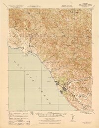
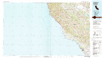
(19)- 1919 Map of San Simeon
 1919 San Simeon1919 Print · USGSThe San Luis Obispo coast during the late 1910s reveals a landscape of cattle ranches, early maritime landings, and upland mining. Genealogists and historians can trace family-named sites like the Hearst Ranch, Old Castro House, and the Olmstead School.4 unique versions available
 - 1937 Map of San Simeon, 1942 Print
 1937 San Simeon1942 Print · USGSThe Central California coast appears here in the late 1930s, showing the early infrastructure surrounding the iconic Hearst Castle and Hearst Ranch. Genealogists and historians can trace family locations at the Old Castro House, the Cambria Mine, and rural institutions like the Santa Rosa School.
 - 1947 Map of San Luis Obispo, 1948 Print
 1947 San Luis Obispo1948 Print · USGSCoastal California at the dawn of the Cold War reveals a landscape of massive military reservations and quiet seaside towns. Genealogists and researchers can trace the Southern Pacific rail line, old mining sites like Los Burros Mine, and local landmarks from Point Buchon to the Carrizo Plain.
 - 1948 Map of San Luis Obispo
 1948 San Luis Obispo1948 Print · USGSCentral Coast life in the late 1940s is centered on the Southern Pacific rail line and expanding military bases. Genealogists can trace early rural life through Union School and local operations like the Klau Mine or Buena Vista Mine.
 - 1956 Map of San Luis Obispo, 1963 Print
 1956 San Luis Obispo1963 Print · USGSCentral California coastal and valley life unfolds in the mid-fifties, from the shoreline of Pismo Beach to the arid Carrizo Plain. Trace early travel routes along the Southern Pacific RR or locate family sites near the Templeton Cemetery and Paso Robles County Cemetery.5 unique versions available
 - 1957 Map of San Luis Obispo
 1957 San Luis Obispo1957 Print · USGSCoastal California in the late fifties is defined by the steep Santa Lucia Range and the rail-connected hub of San Luis Obispo. Genealogists and researchers can trace rural life via Union School, the Southern Pacific line, and old sites like the Polar Star Mine.
 - 1958 Map of San Luis Obispo
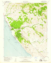
 1958 San Luis Obispo1958 Print · USGSThe Central Coast in the late fifties reveals a landscape of ranching and early tourism before the massive expansion of the modern era. Trace the path of the Southern Pacific through Atascadero or locate family roots in coastal towns like Cayucos and Cambria.
 - 1959 Map of Pico Creek, 1960 Print
 1959 Pico Creek1960 Print · USGSCoastal San Luis Obispo County is captured here in the late fifties as residential streets began to branch off the Pacific coast. Genealogists and local historians can trace early neighborhood footprints at The Oaks and the boundaries of the Piedra Blanca Grant.4 unique versions available
 - 1959 Map of Cambria, 1960 Print
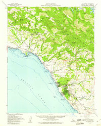
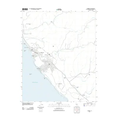
 1959 Cambria1960 Print · USGSCoastal San Luis Obispo County is captured here in the late fifties, showing the transition from seaside village life to upland ranching. You can trace the residential growth of Cambria and locate historic sites like the Santa Rosa Cemetery and the Cambria Air Force Station.4 unique versions available
 - 1959 Map of San Simeon, 1961 Print
 1959 San Simeon1961 Print · USGSThe Central Coast of California in the late fifties is defined by the grand estates of the Santa Lucia Range and a developing shoreline. Researchers can trace the grounds of Hearst Castle, locate the Buckeye Mine, and explore the village of Cambria.2 unique versions available
 - 1980 Map of Cambria
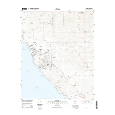
 1980 Cambria1980 Print · USGSThe Central Coast in the early eighties shows a landscape of grand estates and isolated seaside outposts. Trace family roots and local history through the coastal village of Cambria, the Hearst Castle grounds, and the historic Lighthouse at Piedras Blancas.2 unique versions available
 - 2012 Map of Cambria, 2012 Print
 2012 Cambria2012 Print · USGSCovers Cambria, including Marine Terrace, Pine Knolls, and other nearby areas
 - 2012 Map of Pico Creek, 2012 Print
 2012 Pico Creek2012 Print · USGSCovers Cambria, including San Simeon, San Luis Obispo County, and other nearby areas
 - 2015 Map of Pico Creek, 2015 Print
 2015 Pico Creek2015 Print · USGSCovers Cambria, including San Simeon, San Luis Obispo County, and other nearby areas
 - 2015 Map of Cambria, 2015 Print
 2015 Cambria2015 Print · USGSCovers Cambria, including Marine Terrace, Pine Knolls, and other nearby areas
 - 2018 Map of Cambria, 2018 Print
 2018 Cambria2018 Print · USGSCovers Cambria, including Marine Terrace, Pine Knolls, and other nearby areas
 - 2018 Map of Pico Creek, 2018 Print
 2018 Pico Creek2018 Print · USGSCovers Cambria, including San Simeon, San Luis Obispo County, and other nearby areas
 - 2021 Map of Cambria, 2021 Print
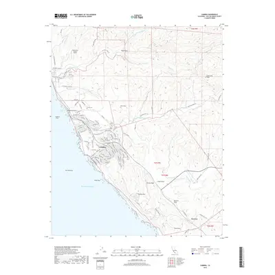
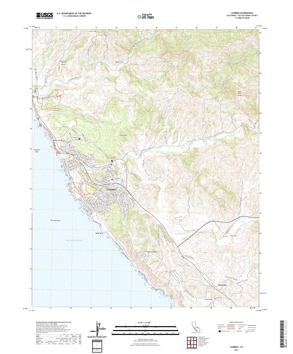 2021 Cambria2021 Print · USGSCoastal San Luis Obispo County is captured here in the early 2020s, showing the intersection of seaside residential life and long-standing ranching valleys. Trace the streets of Cambria, locate the Cambria Cem, and explore the rural character of Harmony and Palmer Flats.
 - 2021 Map of Pico Creek, 2021 Print
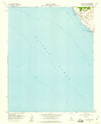
 2021 Pico Creek2021 Print · USGSThe San Simeon coastline is captured in the early 2020s, showing the intersection of coastal development and the Pacific shore. Trace local residential growth along Lone Palm Dr or follow the San Simeon Beach and Bluff Trl past Pico Rock.
End of results
Showing maps 1-19 of 19
Top cities near Cambria
Top neighborhoods of Cambria
- Marine Terrace historical maps
- Lodge Hill historical maps
- West Village historical maps
- Happy Hill historical maps
- Leimert historical maps
- Tin City historical maps
See more
Frequently asked questions
- What are the different types of historical maps available for Cambria?
- What is the oldest map of Cambria?
- Where can I purchase historical maps of Cambria for my home or office?
- Where can I download high-res historical maps of Cambria?
- Are there historical topographic maps available for Cambria?
- Is there historical aerial imagery available for Cambria?
- Where are historical maps of Cambria sourced from?