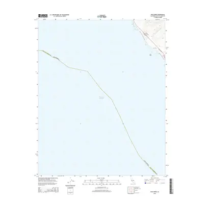
2015 Map of Pico Creek
USGS Topo · Published 2015About this map
Pacific Ocean waters dominate this coastal survey of the San Luis Obispo County shoreline. The landscape is defined by the sharp transition from the sea to the rising hillsides, where Arroyo Del Padre Juan and the S Fork Pico Cr descend toward the beach. Near the northern edge of the map, a small network of residential streets such as Avonne Ave, Castillo Dr, and Hearst Dr overlook the water, reflecting the localized development along this stretch of the California coast. The map also identifies Pico Rock just offshore and the Bluff Trail winding along the cliffs, providing a detailed record of the physical and built environment at this specific location before further modern expansion.
Find a feature on this map
12 named features on this map. Tap any name to fly to it.
Don’t see what you’re looking for? This feature index may not catch every label — zoom into the map to look around manually.
Map Details
Editions of this 2015 Pico Creek Map
This is the sole edition of this map. No revisions or reprints were ever made.
Other maps of this area
1919 · Piedras Blancas
USGS Topo · 1:62,500
1919 · San Simeon
USGS Topo · 1:62,500
1927 · Piedras Blancas
USGS Topo · 1:62,500
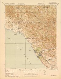
1937 · San Simeon
USGS Topo · 1:62,500
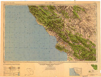
1947 · San Luis Obispo
USGS Topo · 1:250,000
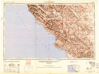
1948 · San Luis Obispo
USGS Topo · 1:250,000
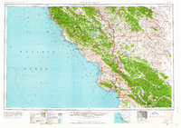
1956 · San Luis Obispo
USGS Topo · 1:250,000
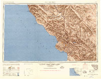
1957 · San Luis Obispo
USGS Topo · 1:250,000
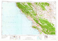
1958 · San Luis Obispo
USGS Topo · 1:250,000
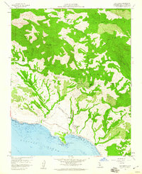
1958 · San Simeon
USGS Topo · 1:24,000