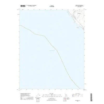
2018 Map of Pico Creek
USGS Topo · Published 2018About this map
San Simeon sits at the northern edge of this coastal survey, where the terrestrial landscape meets the expansive Pacific Ocean. This 2018 record shows a small residential footprint characterized by streets such as Hearst Dr and Castillo Dr, positioned just south of where Pico Cr enters the sea. The topography is dominated by the transition from shoreline to the rising hills of the Santa Lucia Range, with the Bluff Trail tracing the immediate coast above the surf. To the south of the settlement, the offshore landmark Pico Rock stands as a notable navigational feature. The map highlights the drainage of Arroyo Del Padre Juan, illustrating the natural watercourses that define the local geography in this part of San Luis Obispo County.
Find a feature on this map
11 named features on this map. Tap any name to fly to it.
Don’t see what you’re looking for? This feature index may not catch every label — zoom into the map to look around manually.
Map Details
Editions of this 2018 Pico Creek Map
This is the sole edition of this map. No revisions or reprints were ever made.
Other maps of this area
1919 · Piedras Blancas
USGS Topo · 1:62,500
1919 · San Simeon
USGS Topo · 1:62,500
1927 · Piedras Blancas
USGS Topo · 1:62,500
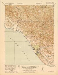
1937 · San Simeon
USGS Topo · 1:62,500
1947 · San Luis Obispo
USGS Topo · 1:250,000
1948 · San Luis Obispo
USGS Topo · 1:250,000
1956 · San Luis Obispo
USGS Topo · 1:250,000
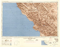
1957 · San Luis Obispo
USGS Topo · 1:250,000
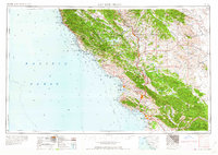
1958 · San Luis Obispo
USGS Topo · 1:250,000
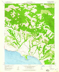
1958 · San Simeon
USGS Topo · 1:24,000