Old Maps of Morro Bay, California for Metal Detecting
Plan your next treasure hunt with 33 historic maps of Morro Bay. Find old homesites, ghost towns, trails, and gathering spots that may be lost to time — perfect for identifying promising metal detecting locations.
- Locate forgotten sites: Uncover places like long-lost settlements, abandoned rail lines, or gathering spots.
- Plan better hunts: Use map overlays combined with LiDAR or satellite views to narrow in on historically rich areas.
- Made for detectorists: Thousands of hobbyists use these maps to discover relics, coins, and hidden history.
Use these historic maps to boost your research and find new opportunities beneath the surface of Morro Bay.
Morro Bay, CA maps
(33)- 1897 Map of Cayucos
 1897 Cayucos1897 Print · USGSThe central California coast is captured here in the late 1890s, when ranching and maritime trade centered on the village of Cayucos. Trace early property lines across San Bernardo or locate landmarks like Morro Rock and Hollister Peak.5 unique versions available
 - 1900 Map of San Luis
 1900 San Luis1900 Print · USGSCoastal California at the turn of the century shows a landscape where rail lines like the Pacific Coast Ry met the sea. Trace early industrial sites like the Asphalt Mines or follow the coast from Morro Rock to the pier at Port Harford.4 unique versions available
 - 1937 Map of Cayucos
 1937 Cayucos1937 Print · USGSThe San Luis Obispo coastline appears here in the late 1930s, showcasing early coastal settlements and industrial sites. Researchers can locate the Standard Oil Co Estero Bay Tankage and Loading Station, the rural Banning Sch, and landmarks like Morro Rock.
 - 1943 Map of Cayucos
 1943 Cayucos1943 Print · USGSThe Central Coast of California comes into focus during the early 1940s, showing the rural character of the shoreline and the Santa Lucia foothills. Genealogists and historians can trace old school districts like Banning Sch and Mountain View Sch alongside landmarks like Morro Rock.2 unique versions available
 - 1947 Map of San Luis Obispo, 1948 Print
 1947 San Luis Obispo1948 Print · USGSCoastal California at the dawn of the Cold War reveals a landscape of massive military reservations and quiet seaside towns. Genealogists and researchers can trace the Southern Pacific rail line, old mining sites like Los Burros Mine, and local landmarks from Point Buchon to the Carrizo Plain.
 - 1948 Map of San Luis Obispo
 1948 San Luis Obispo1948 Print · USGSCentral Coast life in the late 1940s is centered on the Southern Pacific rail line and expanding military bases. Genealogists can trace early rural life through Union School and local operations like the Klau Mine or Buena Vista Mine.
 - 1951 Map of Cayucos, 1953 Print
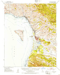 1951 Cayucos1953 Print · USGSThe Central Coast in the early fifties shows a landscape of fishing villages and emerging coastal suburbs. Trace family history at the Quintana Cem or locate former schoolhouses like Simeon Sch and Sunnyside Sch.5 unique versions available
 - 1956 Map of San Luis Obispo, 1963 Print
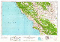 1956 San Luis Obispo1963 Print · USGSCentral California coastal and valley life unfolds in the mid-fifties, from the shoreline of Pismo Beach to the arid Carrizo Plain. Trace early travel routes along the Southern Pacific RR or locate family sites near the Templeton Cemetery and Paso Robles County Cemetery.5 unique versions available
 - 1957 Map of San Luis Obispo
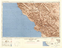 1957 San Luis Obispo1957 Print · USGSCoastal California in the late fifties is defined by the steep Santa Lucia Range and the rail-connected hub of San Luis Obispo. Genealogists and researchers can trace rural life via Union School, the Southern Pacific line, and old sites like the Polar Star Mine.
 - 1958 Map of San Luis Obispo
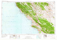 1958 San Luis Obispo1958 Print · USGSThe Central Coast in the late fifties reveals a landscape of ranching and early tourism before the massive expansion of the modern era. Trace the path of the Southern Pacific through Atascadero or locate family roots in coastal towns like Cayucos and Cambria.
 - 1965 Map of Morro Bay South, 1966 Print
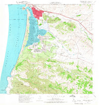 1965 Morro Bay South1966 Print · USGSCoastal San Luis Obispo County is captured here in the mid-sixties as the residential communities of the Los Osos Valley expanded. Genealogists and historians can locate Quintana Cemetery, Sunnyside Sch, and the grounds of Camp San Luis Obispo Military Reservation.5 unique versions available
 - 1965 Map of Cayucos, 1967 Print
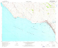 1965 Cayucos1967 Print · USGSCoastal San Luis Obispo County comes alive in the mid-sixties as the town of Cayucos expands near the newly established Whale Rock Reservoir. Trace family history at the Cayucos-Morro Bay District Cem or explore the rugged shoreline from Point Estero to China Harbor.3 unique versions available
 - 1965 Map of Morro Bay North, 1968 Print
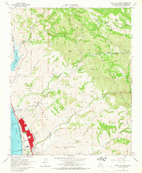 1965 Morro Bay North1968 Print · USGSCoastal San Luis Obispo County is shown here during the mid-sixties, capturing the intersection of ranching heritage and modern utility. Trace the development of Whale Rock Reservoir and locate local landmarks like Fairview Sch and Del Mar Sch.2 unique versions available
 - 1976 Map of Morro Bay South, 1979 Print
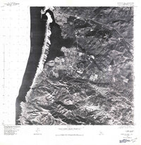 1976 Morro Bay South1979 Print · USGSThe Central California coast is captured in detail during the mid-seventies, showing the expansion of seaside communities around the estuary. Trace the development of Morro Bay and Los Osos or the iconic silhouette of Morro Rock.
 - 1981 Map of San Luis Obispo
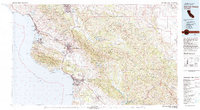 1981 San Luis Obispo1981 Print · USGSThe Central Coast comes alive in the early eighties as the Southern Pacific railroad connects growing coastal towns and rugged inland ranges. Researchers can trace land grants like Santa Manuela, locate Cem sites, and explore the footprint of California Polytechnic State University.3 unique versions available
 - 1995 Map of Morro Bay North, 2000 Print
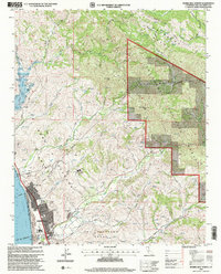 1995 Morro Bay North2000 Print · USGSCentral Coast life in the mid-nineties shows the town of Morro Bay nestled between the coastal range and Estero Bay. Researchers can trace the development of local schools and parks like Lila Keiser Park alongside the rugged terrain of Rusty Peak.
 - 1998 Map of Morro Bay South, 2003 Print
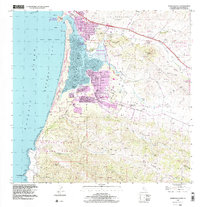 1998 Morro Bay South2003 Print · USGSThe California coast near Morro Bay is captured here in the late twentieth century, showing a landscape defined by volcanic peaks and tidal estuaries. Researchers can trace local history through sites like Quintana Cemetery, Sunnyside Sch, and the residential growth of Baywood Park.
 - 2012 Map of Morro Bay South, 2012 Print
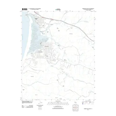 2012 Morro Bay South2012 Print · USGSThe Morro Bay area and Los Osos Valley are captured here just over a decade ago as established coastal communities bordering protected state lands. Researchers can trace local landmarks like Morro Rock, find family names at Quintana Cemetery, or explore the shoreline near Baywood Park Pier.
 - 2012 Map of Morro Bay South OE W, 2012 Print
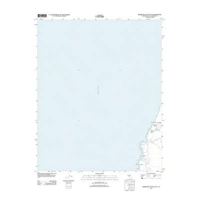 2012 Morro Bay South OE W2012 Print · USGSThe San Luis Obispo County coastline south of Morro Bay is documented here in the early twenty-first century. Researchers can trace the exact locations of coastal landmarks like Point Buchon, Camp Keep, and the various inlets at Spooners Cove and Corallina Cove.
 - 2012 Map of Cayucos, 2012 Print
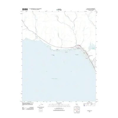 2012 Cayucos2012 Print · USGSThe San Luis Obispo County coast near Morro Bay is shown here in the early twenty-first century as the community of Cayucos sits between the mountains and Estero Bay. Researchers can locate family sites at the Cayucos-Morro Bay District Cem or trace the shoreline from Cayucos Pier to China Harbor.
 - 2012 Map of Morro Bay North, 2012 Print
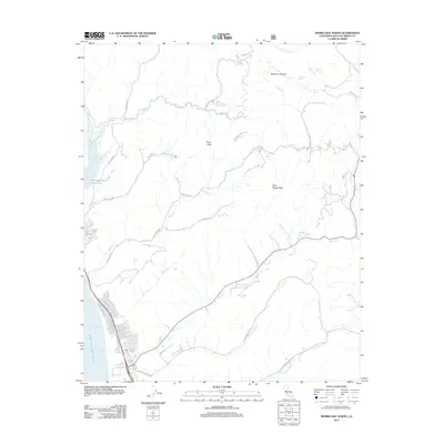 2012 Morro Bay North2012 Print · USGSThe northern coast of Morro Bay meets the steep hills of the Santa Lucia Range in this early twenty-first-century survey. Trace the rugged terrain from Whale Rock Reservoir to high summits like Rusty Peak and follow historic routes along Toro Creek Rd.
 - 2015 Map of Morro Bay South, 2015 Print
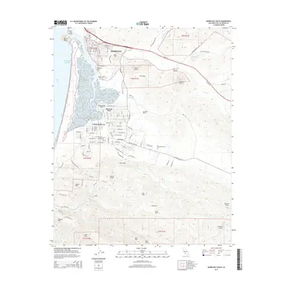 2015 Morro Bay South2015 Print · USGSThe southern shores of the bay and the surrounding volcanic peaks are documented here in the early twenty-first century. Researchers can trace property and burial sites at the Quintana Cemetery or explore the coastal developments of Baywood Park and Cuesta-by-the-Sea.
 - 2015 Map of Morro Bay South OE W, 2015 Print
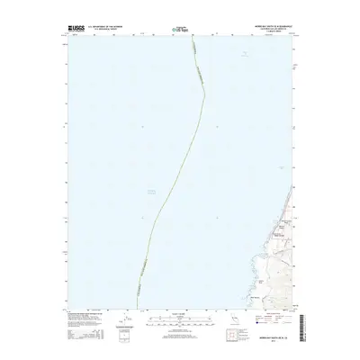 2015 Morro Bay South OE W2015 Print · USGSSan Luis Obispo County’s western shoreline remains largely undeveloped in this mid-2010s survey of the Pacific coast. Researchers can trace the winding paths of the Hazard Peak Trail and Oats Peak Trail near landmarks like Grotto Rock.
 - 2015 Map of Cayucos, 2015 Print
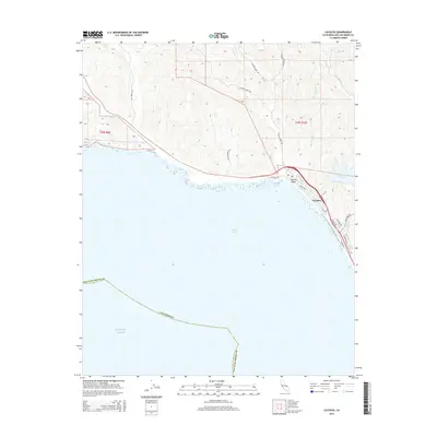 2015 Cayucos2015 Print · USGSThe central California coast and the settlement of Cayucos are captured in the mid-2010s as the town balances shoreline life with its inland agricultural and water resources. Researchers can trace the coastal developments along Ocean Blvd and the vital inland reach of the Whale Rock Reservoir.
 - 2015 Map of Morro Bay North, 2015 Print
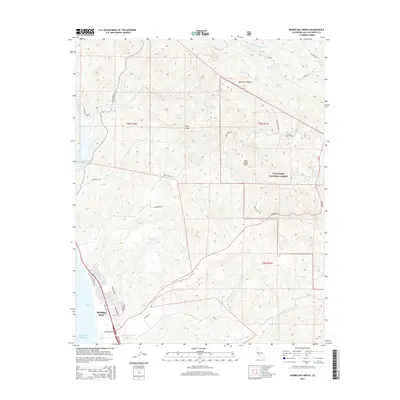 2015 Morro Bay North2015 Print · USGSThe northern edge of the central California coast is documented here just as the modern township expands into the foothills. Genealogists and researchers can trace local developments along Main St or follow the paths of Old Cr and Toro Cr toward the Los Padres National Forest.
Showing maps 1-25 of 33
Top cities near Morro Bay
- San Luis Obispo historical maps
- Atascadero historical maps
- Paso Robles historical maps
- Pismo Beach historical maps
- Cambria historical maps
- Avila Beach historical maps
Frequently asked questions
- What are the different types of historical maps available for Morro Bay?
- What is the oldest map of Morro Bay?
- Where can I purchase historical maps of Morro Bay for my home or office?
- Where can I download high-res historical maps of Morro Bay?
- Are there historical topographic maps available for Morro Bay?
- Is there historical aerial imagery available for Morro Bay?
- Where are historical maps of Morro Bay sourced from?