Old Maps of Calpine, California for Academic Research
Study the evolution of Calpine with 13 high-resolution historic maps. Whether you're teaching, researching, or modeling changes in land use, these maps provide essential visual documentation of urban, environmental, and geographic change.
- Analyze long-term change: Track patterns in development, transportation, and natural features.
- Ideal for environmental or urban studies: Support academic projects with primary historical map data.
- Use in the classroom or lab: Educators and researchers rely on these maps to bring historical context to life.
These maps are a powerful tool for teaching, research, and visualizing how Calpine has changed over the decades.
Calpine, CA maps
(13)- 1890 Map of Sierraville, 1955 Print
 1890 Sierraville1955 Print · USGSThe high Sierra Valley and its frontier timber towns are captured here in the late 1800s. Genealogists and historians can trace early rail lines like the Nevada California and Oregon Railway and locate vanished stops and landmarks such as Etta, Purdy, and the Sulphur Spring.
 - 1892 Map of Sierraville
 1892 Sierraville1892 Print · USGSSierraville and the high meadows of the eastern Sierras are shown here in the early 1890s, just as the regional rail network was expanding. Genealogists can trace early homesteads and communities like Loyalton, Sattley, and Beckwith, or follow the California Nevada and Oregon Railway as it winds toward the state line.
 - 1894 Map of Sierraville
 1894 Sierraville1894 Print · USGSThe high Sierra and Plumas county borderlands are shown in the late nineteenth century as early settlements began to take root in the basin. Researchers can trace the path of the California Nevada and Oregon Railway and locate historic sites like Sierraville, the Fair Grounds, and Loyalton.9 unique versions available
 - 1955 Map of Sierraville, 1957 Print
 1955 Sierraville1957 Print · USGSSierraville and the Sierra Valley are captured in the mid-fifties during a period of transition for the region's timber and aviation sectors. Genealogists and historians can trace old homesteads and landmarks like Campbell Hot Springs, the Antelope Mine, and the Winnie Smith Mill (Ruins).3 unique versions available
 - 1958 Map of Chico, 1962 Print
 1958 Chico1962 Print · USGSMid-century Northern California comes to life across the Central Valley and high Sierras as the postwar economy transformed the landscape. Trace the rail lines of the Southern Pacific RR, locate family roots near Chico Cem, or explore the early layout of Paradise and Beale Air Force Base.4 unique versions available
 - 1960 Map of Chico
 1960 Chico1960 Print · USGSThe Northern California high country and Sacramento Valley meet in this 1960s-era landscape of mining towns and river settlements. Trace the rail-and-water economy of the gold country through the Empire Mine, Beale Air Force Base, and the Western Pacific Railroad.
 - 1979 Map of Portola, 1993 Print
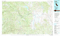 1979 Portola1993 Print · USGSThe northern Sierra Nevada and its timber-and-rail economy are captured here during the late seventies, spanning from the Feather River canyons to the high basins. Researchers can trace the path of the Western Pacific RR and locate historic hubs like Quincy, Portola, and Loyalton.2 unique versions available
 - 1981 Map of Calpine
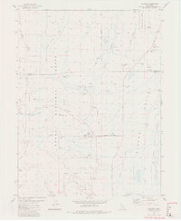 1981 Calpine1981 Print · USGSThe high Sierra Valley is captured in the early 1980s as the logging and ranching landscape began to shift. Genealogists and historians can trace old family sites and infrastructure like Westside Cem, the Old Railroad Grade, and McPherrin Camp.2 unique versions available
 - 2000 Map of Calpine, 2003 Print
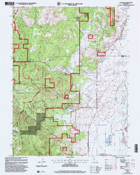 2000 Calpine2003 Print · USGSThe town of Calpine sits at the intersection of forest and valley floor during the turn of the millennium. Researchers can locate the Westside Cemetery, trace the path of CHANNELS across the valley, and find landmarks like McElroy Hill or the Landing Strip.
 - 2012 Map of Calpine, 2012 Print
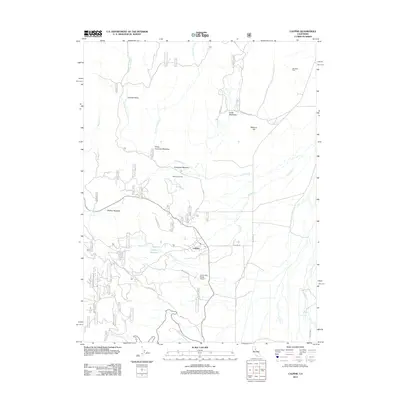 2012 Calpine2012 Print · USGSCalpine and the surrounding Carman Valley are captured in this recent survey of Sierra County's high-country meadows. Genealogists and local historians can trace the locations of Westside Cem, McPherrin Camp, and the Totem Pole Ranch Airport.
 - 2015 Map of Calpine, 2015 Print
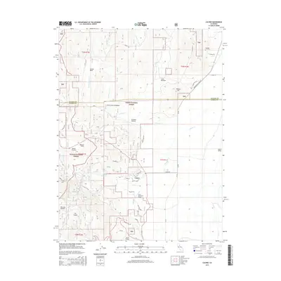 2015 Calpine2015 Print · USGSSierra County mountain valleys meet the timberlands of the Tahoe and Plumas forests in this contemporary topographic survey. Researchers can trace local landmarks like Westside Cemetery, the Totem Pole Ranch Airport, and high meadows such as Knuthson Meadow.
 - 2018 Map of Calpine, 2018 Print
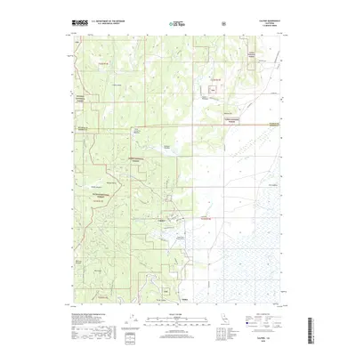 2018 Calpine2018 Print · USGSCalpine and the surrounding mountain meadows are documented here during the late twenty-teens, showcasing the intersection of timberlands and valley ranching. Researchers can locate Westside Cem, the Totem Pole Ranch Airport, and the small settlement of Sattley.
 - 2022 Map of Calpine, 2022 Print
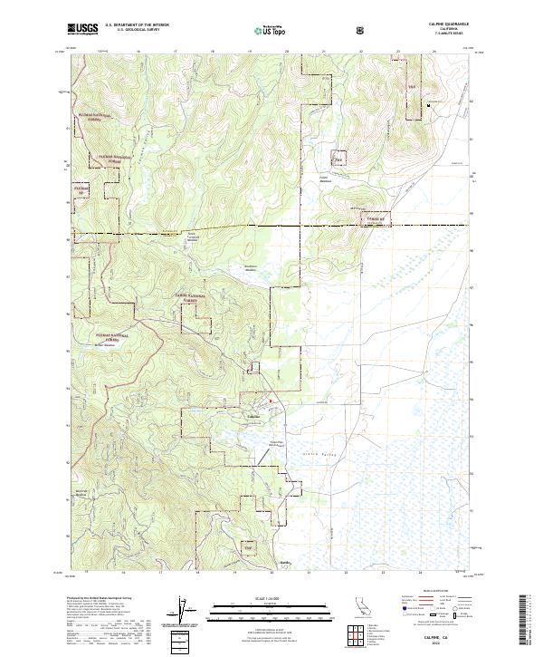 2022 Calpine2022 Print · USGSThe high meadows and mountain valleys of the Sierra-Plumas border come into focus in this contemporary survey. Historians and residents can trace the development of Calpine and Sattley, locate the Westside Cem, and explore the drainage of Fletcher Creek.
End of results
Showing maps 1-13 of 13
Top cities near Calpine
Frequently asked questions
- What are the different types of historical maps available for Calpine?
- What is the oldest map of Calpine?
- Where can I purchase historical maps of Calpine for my home or office?
- Where can I download high-res historical maps of Calpine?
- Are there historical topographic maps available for Calpine?
- Is there historical aerial imagery available for Calpine?
- Where are historical maps of Calpine sourced from?