2000s (21st Century) Maps of Sierra City, California
Explore 5 historic maps of Sierra City from the 2000s (21st Century). These maps offer a rare glimpse into what life looked like during the 2000s — showing old roads, neighborhoods, homes, and landmarks that have changed or disappeared over time.
Whether you're researching your family's past, planning a metal detecting trip, or studying how Sierra City's landscape evolved across the 2000s, these high-resolution maps are a powerful tool for exploring the history of this region.
- Focus on a specific era: All maps on this page are from the 2000s, giving you a focused view of this time period.
- See what’s changed: Compare century-old streets, trails, and buildings to today's modern landscape using overlays and satellite layers.
- Research with precision: Use these maps for genealogy, historical research, land use analysis, or educational projects.
- View, download, or print: Maps are fully viewable online in high resolution, and can be downloaded or printed for your own records.
Start exploring Sierra City's history through authentic maps from the 2000s. This is your window into the past.
Sierra City, CA maps
(5)- 2000 Map of Sierra City, 2003 Print
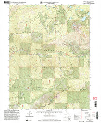 2000 Sierra City2003 Print · USGSSierra County mining districts and high-altitude lake basins are documented in this late-twentieth-century forest revision. Researchers can trace deep-rooted mining claims like Sierra Buttes Mine and remote outposts such as Robinson Cow Camp.
 - 2012 Map of Sierra City, 2012 Print
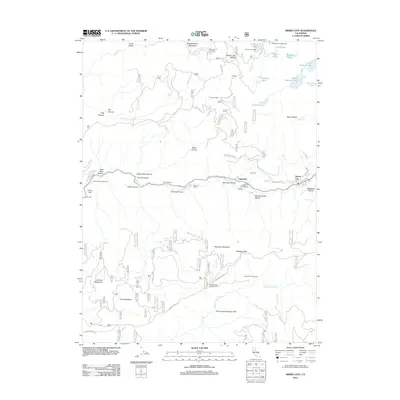 2012 Sierra City2012 Print · USGSCovers Sierra City, including Loganville, Nevada County, and other nearby areas
 - 2015 Map of Sierra City, 2015 Print
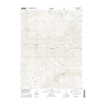 2015 Sierra City2015 Print · USGSCovers Sierra City, including Loganville, Nevada County, and other nearby areas
 - 2018 Map of Sierra City, 2018 Print
 2018 Sierra City2018 Print · USGSCovers Sierra City, including Loganville, Nevada County, and other nearby areas
 - 2021 Map of Sierra City, 2021 Print
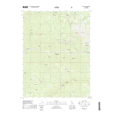
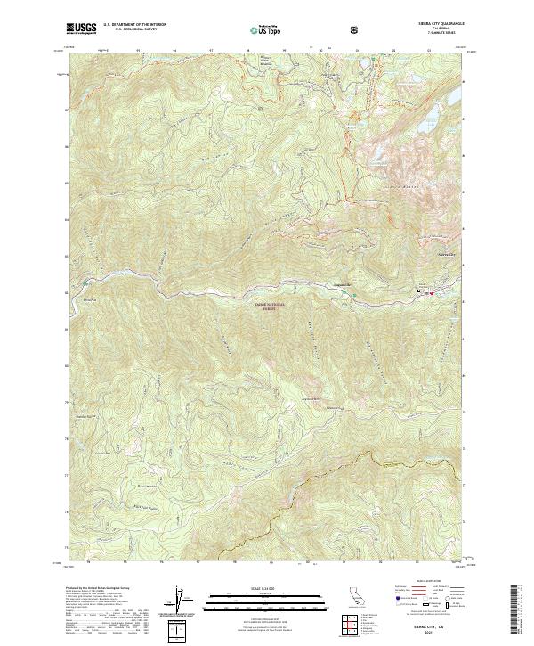 2021 Sierra City2021 Print · USGSThe steep Sierra Nevada peaks of the Tahoe National Forest define this region near the century's end. Researchers can trace historic routes like Henness Pass Rd or locate family sites at Sierra City Cem and Harris Meadow.
End of results
Showing maps 1-5 of 5
Top cities near Sierra City
Frequently asked questions
- What are the different types of historical maps available for Sierra City?
- What is the oldest map of Sierra City?
- Where can I purchase historical maps of Sierra City for my home or office?
- Where can I download high-res historical maps of Sierra City?
- Are there historical topographic maps available for Sierra City?
- Is there historical aerial imagery available for Sierra City?
- Where are historical maps of Sierra City sourced from?