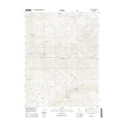
2015 Map of Sierra City
USGS Topo · Published 2015About this map
Sierra City and Loganville sit along the upper reaches of the N Yuba River, serving as anchors for a landscape defined by dramatic elevation changes and alpine water bodies. The terrain is marked by the towering Sierra Buttes and peaks like Keystone Mtn, while a network of glacial lakes including Upper Sardine Lake, Lower Sardine Lake, and the Tamarack Lakes dot the northern high country. Within the Tahoe National Forest, the map traces the route of the Pacific Crest National Scenic Trail as it winds across ridges and through gaps.
Find a feature on this map
54 named features on this map. Tap any name to fly to it.
Don’t see what you’re looking for? This feature index may not catch every label — zoom into the map to look around manually.
Map Details
Editions of this 2015 Sierra City Map
This is the sole edition of this map. No revisions or reprints were ever made.
Other maps of this area

1891 · Downieville
USGS Topo · 1:125,000

1891 · Colfax
USGS Topo · 1:125,000

1892 · Colfax
USGS Topo · 1:125,000

1893 · Downieville
USGS Topo · 1:125,000

1894 · Colfax
USGS Topo · 1:125,000

1895 · Downieville
USGS Topo · 1:125,000

1896 · Downieville
USGS Topo · 1:125,000

1897 · Downieville
USGS Topo · 1:125,000

1898 · Colfax
USGS Topo · 1:125,000

1900 · Colfax
USGS Topo · 1:125,000