
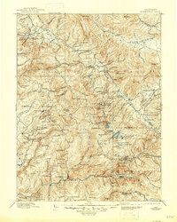
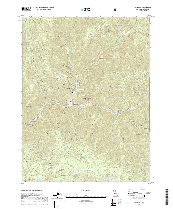
1896 Map of Downieville
USGS Topo · Published 1896About this map
The Middle Fork Feather River and the North Fork Yuba River dominate this 1896 survey of the northern Sierra Nevada, revealing a landscape defined by the gold-mining economy. In the south, Downieville serves as a hub for scattered operations like the Empire Mine and Young America Mine near Sierra City, while the Sierra Turnpike provides a critical overland link through the mountains. To the north, the American Valley holds the settlement of Quincy, surrounded by high ridges like Clermont Hill and the Grizzly Mountains. The map meticulously tracks the era's hydraulic and hard-rock mining legacy through numerous camps and landmarks, including Whiskey Diggings, Port Wine, and the Pliocene Mine. Small mountain settlements like Howland Flat and Gibsonville appear alongside family ranch sites such as Spring Garden Ranch, illustrating the transition from wilderness to an industrial mountain frontier.
Find a feature on this map
187 named features on this map. Tap any name to fly to it.
Don’t see what you’re looking for? This feature index may not catch every label — zoom into the map to look around manually.
Map Details
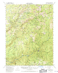
Editions of this 1896 Downieville Map
This is the sole edition of this map. No revisions or reprints were ever made.
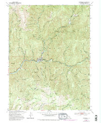
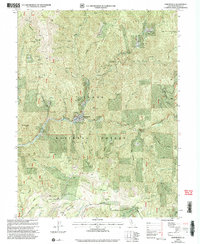
Historical Maps of Two Rivers Through Time
12 maps found

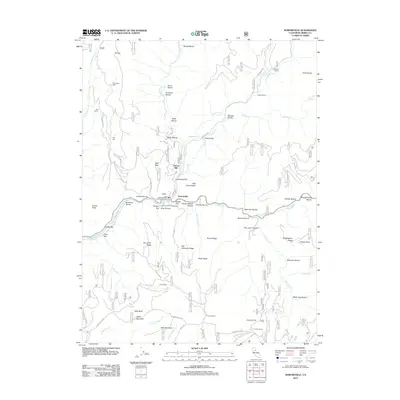
1891 Downieville
Sierra County, CA

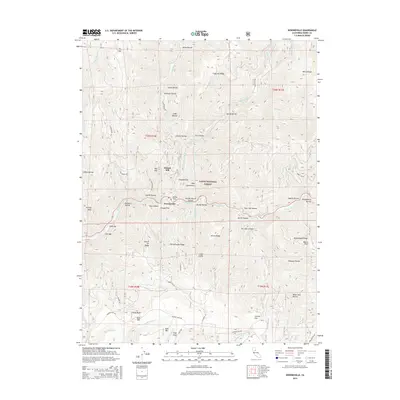
1893 Downieville
Sierra County, CA

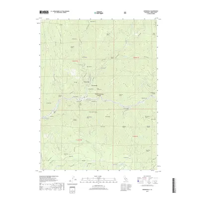
1895 Downieville
Sierra County, CA
1896 Downieville
Sierra County, CA
1897 Downieville
Sierra County, CA
1951 Downieville
Sierra County, CA
1951 Downieville
Sierra County, CA
2000 Downieville
Sierra County, CA
2012 Downieville
Sierra County, CA
2015 Downieville
Sierra County, CA
2018 Downieville
Sierra County, CA
2021 Downieville
Sierra County, CA