
1897 Map of Downieville
USGS Topo · Published 1897About this map
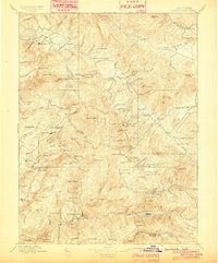
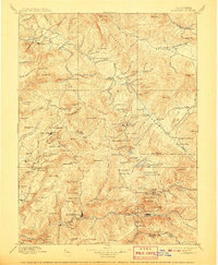
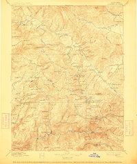
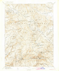
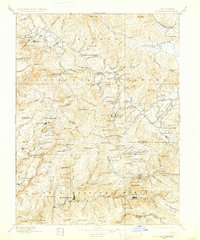
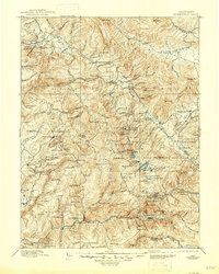
Downieville serves as the focal point for this survey of the northern Sierra Nevada, captured during the late nineteenth-century mining era. The map reveals an intricate network of gold-mining activity and mountain settlements, highlighting significant operations such as the Plumas Eureka, the Empire Mine, and the Young America Mine. The landscape is defined by the deep canyons of the N. Fork of N. Fork Yuba River and the high ridges of the Grizzly Mountains, where remote mining camps like Whiskey Diggings, Howland Flat, and Potosi were established.
Find a feature on this map
200 named features on this map. Tap any name to fly to it.
Don’t see what you’re looking for? This feature index may not catch every label — zoom into the map to look around manually.
Map Details
Editions of this 1897 Downieville Map
7 editions found
Other maps of this area

1886 · Honey Lake
USGS Topo · 1:250,000

1886 · Lassen Peak
USGS Topo · 1:250,000

1888 · Smartsville
USGS Topo · 1:125,000

1888 · Bidwell Bar
USGS Topo · 1:125,000

1890 · Sierraville
USGS Topo · 1:125,000

1891 · Bidwell Bar
USGS Topo · 1:125,000

1891 · Downieville
USGS Topo · 1:125,000

1891 · Honey Lake
USGS Topo · 1:250,000

1891 · Colfax
USGS Topo · 1:125,000

1891 · Truckee
USGS Topo · 1:125,000