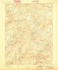
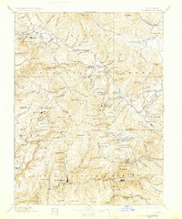
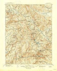
1897 Map of Downieville
USGS Topo · Published 1902About this map
Downieville and Quincy anchor this detailed study of California's high-altitude mining districts during the late nineteenth century. The landscape is a complex network of gold-bearing watersheds, where the Middle Fork Feather River and the North Fork Yuba River cut deep through the Grizzly Mountains and Plumas Sierra. For genealogists and historians, the map preserves the locations of numerous family-named ranches and remote outposts such as St. Charles Ranch, Lovejoys, and the Antelope House.
Find a feature on this map
212 named features on this map. Tap any name to fly to it.
Don’t see what you’re looking for? This feature index may not catch every label — zoom into the map to look around manually.
Map Details
Editions of this 1897 Downieville Map
7 editions found

Other maps of this area

1886 · Honey Lake
USGS Topo · 1:250,000

1886 · Lassen Peak
USGS Topo · 1:250,000

1888 · Smartsville
USGS Topo · 1:125,000

1888 · Bidwell Bar
USGS Topo · 1:125,000

1890 · Sierraville
USGS Topo · 1:125,000

1891 · Bidwell Bar
USGS Topo · 1:125,000

1891 · Downieville
USGS Topo · 1:125,000

1891 · Honey Lake
USGS Topo · 1:250,000

1891 · Colfax
USGS Topo · 1:125,000

1891 · Truckee
USGS Topo · 1:125,000