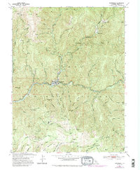
1951 Map of Downieville
USGS Topo · Published 1995About this map
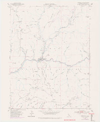
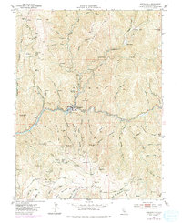
Downieville sits at the confluence of the Downie River and the North Yuba River, serving as a focal point for a mountain landscape defined by mid-century gold mining and ranching. Within the Tahoe National Forest, the map reveals a dense network of mining operations including the Telegraph Mine, Monte Cristo Mine, and the Oxford Mine & Mill. The terrain is marked by steep divides such as City of Six Ridge and Pliocene Ridge, where early infrastructure like the Henness Pass Road provided vital passage through the high country. Local history is preserved in the locations of the White Bear Mine and Cornish House, alongside established homesteads like Oak Ranch and Empire Ranch. The presence of numerous prospect sites and placer mines across Slug Canyon and Jim Crow Canyon reflects the persistent extraction economy of the northern Mother Lode region.
Find a feature on this map
83 named features on this map. Tap any name to fly to it.
Don’t see what you’re looking for? This feature index may not catch every label — zoom into the map to look around manually.
Map Details
Editions of this 1951 Downieville Map
6 editions found
Other maps of this area

1891 · Downieville
USGS Topo · 1:125,000

1891 · Colfax
USGS Topo · 1:125,000

1892 · Colfax
USGS Topo · 1:125,000

1893 · Downieville
USGS Topo · 1:125,000

1894 · Colfax
USGS Topo · 1:125,000

1895 · Downieville
USGS Topo · 1:125,000

1896 · Downieville
USGS Topo · 1:125,000

1897 · Downieville
USGS Topo · 1:125,000

1898 · Colfax
USGS Topo · 1:125,000

1900 · Colfax
USGS Topo · 1:125,000