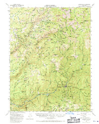
1951 Map of Downieville
USGS Topo · Published 1970About this map
The North Fork Yuba River and its myriad tributaries anchor this detailed survey of the gold-rich Sierra Nevada. As of the early 1950s, the landscape is defined by its deep mining heritage, showing numerous active and inactive sites such as the Union Keystone Mine, Monte Cristo Mine, and the Oxford Mine & Mill. The map documents a network of hydraulic and drift mining settlements that grew during the Gold Rush, including Port Wine, Gibsonville, and Scales.
Find a feature on this map
178 named features on this map. Tap any name to fly to it.
Don’t see what you’re looking for? This feature index may not catch every label — zoom into the map to look around manually.
Map Details
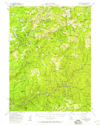
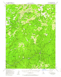
Editions of this 1951 Downieville Map
3 editions found
Other maps of this area

1888 · Smartsville
USGS Topo · 1:125,000

1888 · Bidwell Bar
USGS Topo · 1:125,000

1891 · Bidwell Bar
USGS Topo · 1:125,000

1891 · Downieville
USGS Topo · 1:125,000

1891 · Colfax
USGS Topo · 1:125,000

1891 · Smartsville
USGS Topo · 1:125,000

1892 · Smartsville
USGS Topo · 1:125,000

1892 · Colfax
USGS Topo · 1:125,000

1893 · Bidwell Bar
USGS Topo · 1:125,000

1893 · Downieville
USGS Topo · 1:125,000