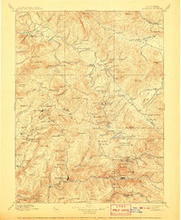
1897 Map of Downieville
USGS Topo · Published 1907About this map
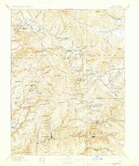
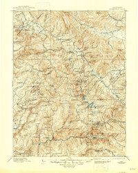
Downieville sits at the confluence of the North Fork Yuba River, anchoring a landscape defined by late-19th-century gold extraction and rugged alpine terrain. This survey, conducted in the 1880s, reveals an intensive mining economy through the presence of the Empire Mine, Young America Mine, and Pliocene Mine. Settlements like Gibsonville, La Porte, and Port Wine dot the ridges and canyons, reflecting the scattered population centers typical of the Sierra Nevada's Northern Mines. The map captures the transit network of the day, notably the Sierra Turnpike, which provided vital access through these mountains. Beyond the mines, the high country features prominent landmarks such as the Sierra Buttes and the waters of the Middle Fork Feather River. The northern portion transitions into the American Valley, where Quincy serves as another primary hub amidst a network of ranches and timber operations like the Squirrel Creek Saw Mill.
Find a feature on this map
209 named features on this map. Tap any name to fly to it.
Don’t see what you’re looking for? This feature index may not catch every label — zoom into the map to look around manually.
Map Details
Editions of this 1897 Downieville Map
7 editions found

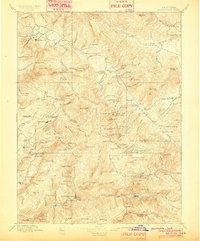
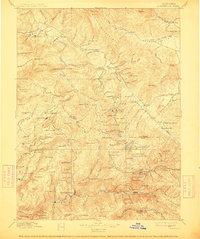
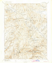
Other maps of this area

1886 · Honey Lake
USGS Topo · 1:250,000

1886 · Lassen Peak
USGS Topo · 1:250,000

1888 · Smartsville
USGS Topo · 1:125,000

1888 · Bidwell Bar
USGS Topo · 1:125,000

1890 · Sierraville
USGS Topo · 1:125,000

1891 · Bidwell Bar
USGS Topo · 1:125,000

1891 · Downieville
USGS Topo · 1:125,000

1891 · Honey Lake
USGS Topo · 1:250,000

1891 · Colfax
USGS Topo · 1:125,000

1891 · Truckee
USGS Topo · 1:125,000