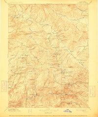
1897 Map of Downieville
USGS Topo · Published 1912About this map
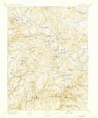
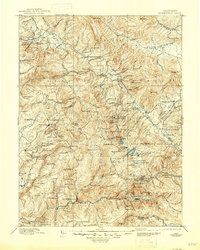
The Middle Fork Feather River and its high Sierra tributaries define this landscape, which in the late 19th century was a center of intensive hard-rock and hydraulic mining. The region is marked by an extensive network of mining operations, including the noted Plumas Eureka and Empire Mine, alongside several camps and settlements that served the industry. Quincy sits at the edge of American Valley, while further south, the Sierra Turnpike winds through the hills toward Howland Flat and La Porte. The survey captures a moment when the rugged terrain was heavily worked for its mineral wealth, shown by the numerous mines like the Phoenix Mine and Keystone Mine dotting the ridges between the forks of the Yuba and Feather rivers. Faint trails and roads connect isolated outposts like the St. John Ranch and Spring Garden Ranch through the high passes of the Grizzly Mountains.
Find a feature on this map
182 named features on this map. Tap any name to fly to it.
Don’t see what you’re looking for? This feature index may not catch every label — zoom into the map to look around manually.
Map Details
Editions of this 1897 Downieville Map
7 editions found

Other maps of this area

1886 · Honey Lake
USGS Topo · 1:250,000

1886 · Lassen Peak
USGS Topo · 1:250,000

1888 · Smartsville
USGS Topo · 1:125,000

1888 · Bidwell Bar
USGS Topo · 1:125,000

1890 · Sierraville
USGS Topo · 1:125,000

1891 · Bidwell Bar
USGS Topo · 1:125,000

1891 · Downieville
USGS Topo · 1:125,000

1891 · Honey Lake
USGS Topo · 1:250,000

1891 · Colfax
USGS Topo · 1:125,000

1891 · Truckee
USGS Topo · 1:125,000