2000s (21st Century) Maps of Cougar, California
Explore 5 historic maps of Cougar from the 2000s (21st Century). These maps offer a rare glimpse into what life looked like during the 2000s — showing old roads, neighborhoods, homes, and landmarks that have changed or disappeared over time.
Whether you're researching your family's past, planning a metal detecting trip, or studying how Cougar's landscape evolved across the 2000s, these high-resolution maps are a powerful tool for exploring the history of this region.
- Focus on a specific era: All maps on this page are from the 2000s, giving you a focused view of this time period.
- See what’s changed: Compare century-old streets, trails, and buildings to today's modern landscape using overlays and satellite layers.
- Research with precision: Use these maps for genealogy, historical research, land use analysis, or educational projects.
- View, download, or print: Maps are fully viewable online in high resolution, and can be downloaded or printed for your own records.
Start exploring Cougar's history through authentic maps from the 2000s. This is your window into the past.
Cougar, CA maps
(5)- 2001 Map of The Whaleback, 2004 Print
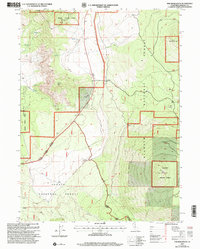 2001 The Whaleback2004 Print · USGSUpper Siskiyou County at the start of the millennium is a landscape of volcanic peaks and timber management. Genealogists and historians can trace the footprint of early settlements like Cougar and Andesite or follow the route of Military Pass Road.2 unique versions available
 - 2012 Map of The Whaleback, 2012 Print
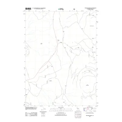 2012 The Whaleback2012 Print · USGSCovers Cougar, including Siskiyou County, United States, and other nearby areas
 - 2015 Map of The Whaleback, 2015 Print
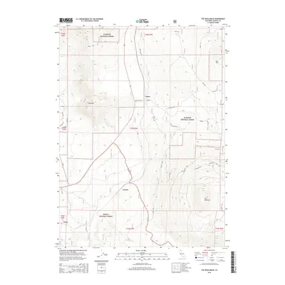 2015 The Whaleback2015 Print · USGSCovers Cougar, including Siskiyou County, United States, and other nearby areas
 - 2018 Map of The Whaleback, 2018 Print
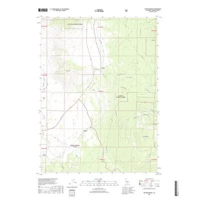 2018 The Whaleback2018 Print · USGSCovers Cougar, including Siskiyou County, United States, and other nearby areas
 - 2022 Map of The Whaleback, 2022 Print
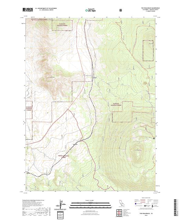 2022 The Whaleback2022 Print · USGSSiskiyou County's volcanic uplands and timber lands appear here in recent detail, showing the intersection of the Shasta and Klamath National Forests. Local historians and hikers can trace the routes through Andesite, the ascent of The Whaleback, and historical pathways like the 99-97 Cutoff.
End of results
Showing maps 1-5 of 5
Top cities near Cougar
Frequently asked questions
- What are the different types of historical maps available for Cougar?
- What is the oldest map of Cougar?
- Where can I purchase historical maps of Cougar for my home or office?
- Where can I download high-res historical maps of Cougar?
- Are there historical topographic maps available for Cougar?
- Is there historical aerial imagery available for Cougar?
- Where are historical maps of Cougar sourced from?