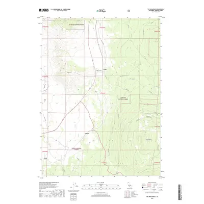
2018 Map of The Whaleback
USGS Topo · Published 2018About this map
Cougar, Andesite, and Bolam sit at the intersection of public lands and historical transit routes in this portion of the Siskiyou mountain landscape. The map details a complex network of forest access and historical travelways, such as the Military Pass and the Old Highway, that cut through the transition between Klamath National Forest and Shasta National Forest. Dramatic topographical features dominate the eastern and western horizons, including the prominent volcanic mass of The Whaleback and the high summit of Sheep Rock. Evidence of environmental change is documented through labels for the Grass Lake Fire, Cougar Fire, and the Whaleback Burn, reflecting the fire history that has shaped the local vegetation. Silvicultural history is also noted with the Cougar Plantation, while local road names like the 99-97 Cutoff and Deer Cougar Tie reveal the practical geography of this high-elevation timber and transit corridor.
Find a feature on this map
40 named features on this map. Tap any name to fly to it.
Don’t see what you’re looking for? This feature index may not catch every label — zoom into the map to look around manually.
Map Details
Editions of this 2018 The Whaleback Map
This is the sole edition of this map. No revisions or reprints were ever made.
Other maps of this area
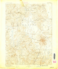
1886 · Shasta
USGS Topo · 1:250,000
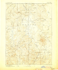
1894 · Shasta
USGS Topo · 1:250,000
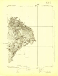
1922 · Shasta Valley Sheet No 10 E
USGS Topo · 1:24,000
1934 · Macdoel
USGS Topo · 1:96,000
1935 · Dunsmuir
USGS Topo · 1:125,000
1941 · Macdoel
USGS Topo · 1:125,000
1948 · Weed
USGS Topo · 1:250,000
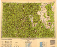
1950 · Weed
USGS Topo · 1:250,000
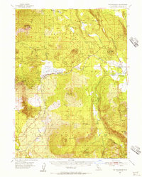
1954 · The Whaleback
USGS Topo · 1:62,500
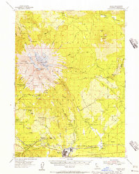
1954 · Shasta
USGS Topo · 1:62,500