
1954 Map of The Whaleback
USGS Topo · Published 1956About this map
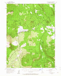
The high volcanic landscape of Shasta National Forest is defined here by timber and transport in the mid-1950s. The Southern Pacific railroad follows the natural corridor of the high plateau, serving small stops and industrial sites like Andesite, Leaf, and the Leaf Camp logging operation. The central basin is dominated by the seasonal waters of Grass Lake, while surrounding volcanic peaks like Goosenest, Deer Mtn, and The Whaleback rise sharply from the valley floor. Evidence of early land use is scattered throughout the terrain, from the Hoffman Mill (Site) to family-named landmarks such as the Soule Ranch and Davis Cabin. The network of timber access is visible through the Pomeroy Road and Military Pass Road, which navigate the complex drainage systems of Butte Creek and Horsefly Creek.
Find a feature on this map
56 named features on this map. Tap any name to fly to it.
Don’t see what you’re looking for? This feature index may not catch every label — zoom into the map to look around manually.
Map Details
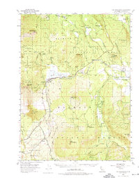
Editions of this 1954 The Whaleback Map
3 editions found
Other maps of this area

1886 · Modoc Lava Bed
USGS Topo · 1:250,000

1886 · Shasta
USGS Topo · 1:250,000

1892 · Modoc Lava-Bed
USGS Topo · 1:250,000

1894 · Shasta
USGS Topo · 1:250,000

1922 · Shasta Valley Sheet No 10 E
USGS Topo · 1:24,000

1932 · Bartle
USGS Topo · 1:96,000

1934 · Macdoel
USGS Topo · 1:96,000

1935 · Dunsmuir
USGS Topo · 1:125,000

1939 · Bartle
USGS Topo · 1:125,000

1941 · Macdoel
USGS Topo · 1:125,000