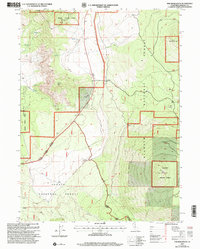
2001 Map of The Whaleback
USGS Topo · Published 2004About this map
The Whaleback dominates the southeastern terrain of this Siskiyou County landscape, a prominent volcanic feature situated within the expansive Klamath National Forest. The map documents a rugged interface of timberland and geological activity at the dawn of the 21st century. Near the center of the sheet, the small settlement of Cougar sits along the roadway, while Andesite serves as a junction point further south near the Military Pass Road. The transition from the high elevations of Sheep Rock and Deer Mountain down toward the Shasta Valley is marked by resource extraction sites, including a Sandpit, Gravel Pit, and Cinder Pit. This survey also delineates the complex administrative boundaries between the Klamath and Shasta National Forest, showing the intricate zig-zagging National Forest Boundary as it follows the high ridges and valley floors.
Find a feature on this map
18 named features on this map. Tap any name to fly to it.
Don’t see what you’re looking for? This feature index may not catch every label — zoom into the map to look around manually.
Map Details
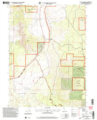
Editions of this 2001 The Whaleback Map
2 editions found
Other maps of this area

1886 · Shasta
USGS Topo · 1:250,000

1894 · Shasta
USGS Topo · 1:250,000

1922 · Shasta Valley Sheet No 10 E
USGS Topo · 1:24,000

1934 · Macdoel
USGS Topo · 1:96,000

1935 · Dunsmuir
USGS Topo · 1:125,000

1941 · Macdoel
USGS Topo · 1:125,000

1948 · Weed
USGS Topo · 1:250,000

1950 · Weed
USGS Topo · 1:250,000

1954 · The Whaleback
USGS Topo · 1:62,500

1954 · Shasta
USGS Topo · 1:62,500