Old Maps of Foster, California for Genealogy
Trace your family roots with 17 historic maps of Foster. These high-res maps reveal old neighborhoods, homesites, landmarks, and streets — helping you uncover where your ancestors lived and how the area evolved over time.
- Explore historic neighborhoods: Identify where your relatives may have lived in the 1800s or 1900s.
- Compare maps over time: Trace the changes in streets, buildings, and landmarks for multi-generational research.
- Perfect for genealogy & ancestry research: Used by family historians and researchers to map out lineage and migration.
These maps are an incredible resource for exploring your personal connection to Foster's past.
Foster, CA maps
(17)- 1886 Map of Shasta
 1886 Shasta1886 Print · USGSUpper California in the mid-1880s is captured here during the height of the mining era and the early days of mountain tourism. Genealogists can locate family holdings near Yreka, trace river crossings like the ferry at Oaks Bar, or find early resorts at Upper Soda Spring.3 unique versions available
 - 1894 Map of Shasta, 1903 Print
 1894 Shasta1903 Print · USGSNorthern California at the turn of the century reveals a landscape defined by the shadow of Mt Shasta and a booming mining economy. Genealogists can trace family roots through pioneer settlements like Yreka, Fort Jones, and the Callahan Ranch as the frontier transitioned into a network of established ranching and timber hubs.8 unique versions available
 - 1923 Map of Sawyers Bar
 1923 Sawyers Bar1923 Print · USGSThe Salmon River canyon in the early 1900s reveals a high-country mining landscape during the height of its activity. Genealogists and historians can trace families at Edie Ranch, locate remote classrooms like Russianville School, and find numerous prospects including the Black Bear Mine.4 unique versions available
 - 1931 Map of Etna
 1931 Etna1931 Print · USGSThe mining camps and river valleys of the Siskiyou-Trinity border are caught in detail during the early 1930s. Researchers can trace historic claims and remote family holdings like the Bonanza King Mine, Etna Ranch, and the East Fork District Sch.
 - 1934 Map of Etna
 1934 Etna1934 Print · USGSThe Scott Valley and high California peaks are seen here in the 1930s as centers of mining and remote mountain ranching. Researchers can trace historic family-named locations such as Parker Ranch, Stoddard Cabin, and the Zarina Mine.4 unique versions available
 - 1948 Map of Weed, 1950 Print
 1948 Weed1950 Print · USGSNorthern California and Southern Oregon are captured here during the post-war era, documenting the mountain-and-valley economies of the Klamath and Cascade ranges. Trace the legacy of local mining and timber at the King Solomon Mine, find old schools like Siskiyou County School, and follow the historic Southern Pacific RR route.2 unique versions available
 - 1950 Map of Weed
 1950 Weed1950 Print · USGSSiskiyou County and the surrounding Klamath mountains appear in the mid-century before extensive modern development. Genealogists and local historians can locate remote outposts like the Lee Brown Ranch and the specialized settlement of Darlingtonia.
 - 1955 Map of Etna, 1957 Print
 1955 Etna1957 Print · USGSSiskiyou County's high-country ranching and mining hubs are captured here in the mid-fifties, from the town of Etna to the southern reach of Callahan. Genealogists and researchers can trace old homestead sites like Deacon Lee Place and the Ruffey Indian Reservation.4 unique versions available
 - 1958 Map of Weed, 1963 Print
 1958 Weed1963 Print · USGSThe Northern California high country of the late fifties is defined by the towering presence of Mt Shasta and the logging railroads of the Siskiyou range. Genealogists and researchers can trace remote mining sites like the China Mine and mountain settlements such as Sawyers Bar and Seiad Valley.3 unique versions available
 - 1963 Map of Weed
 1963 Weed1963 Print · USGSNorthern California during the early 1960s shows a landscape of steep mountain ranges and river-fed valleys at the height of the timber era. Researchers can trace the routes of the McCloud River RR, locate remote sites like the Holiday Mine, or find ancestral markers at the Scott Valley Cem.
 - 1979 Map of Mount Shasta
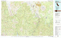 1979 Mount Shasta1979 Print · USGSUpper California's mountainous landscape appears in the late seventies as a busy network of timber towns, railroads, and high-altitude mining claims. Trace the legacy of extraction and industry through the Southern Pacific rail line and sites like McCloud and the Bonanza King Mine.3 unique versions available
 - 1986 Map of Eaton Peak
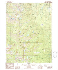 1986 Eaton Peak1986 Print · USGSSiskiyou County during the mid-eighties shows a wilderness shaped by high-altitude trails and early mining claims. Trace the route of the Pacific Crest National Scenic Trail past the Foster Mine and family landmarks like the J H Ranch.2 unique versions available
 - 2001 Map of Eaton Peak, 2004 Print
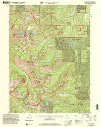 2001 Eaton Peak2004 Print · USGSSiskiyou County's high alpine terrain is mapped here at the start of the millennium within the Klamath National Forest. Researchers can trace the high-elevation Pacific Crest National Scenic Trail past Foster Mine and remote waters like Big Duck Lake.
 - 2012 Map of Eaton Peak, 2012 Print
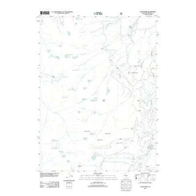 2012 Eaton Peak2012 Print · USGSSiskiyou County's high-country wilderness is captured here in the early twenty-first century, showing a landscape of granite summits and alpine lakes. Researchers can trace the boundaries of Eton Ranch, locate the remote Foster settlement, and identify dozens of named waters like Lipstick Lake and Taylor Lake.
 - 2015 Map of Eaton Peak, 2015 Print
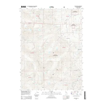 2015 Eaton Peak2015 Print · USGSThe Salmon Mountains of Siskiyou County are shown here in the mid-2010s, defined by high-elevation wilderness and the Pacific Crest National Scenic Trail. Researchers can trace old routes like the French Jack Tr or locate the Homestead near Paynes Lake Cr.
 - 2018 Map of Eaton Peak, 2018 Print
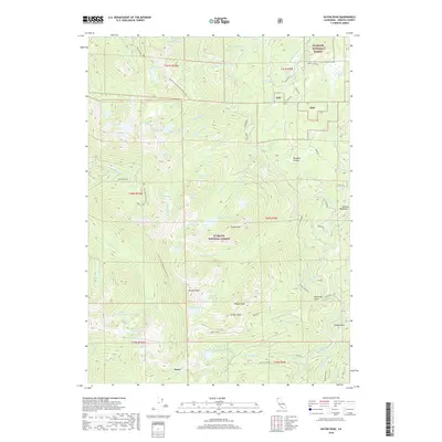 2018 Eaton Peak2018 Print · USGSThe Salmon Mountains in the late twenty-teens are a high-country maze of alpine lakes and dramatic summits within the Klamath National Forest. Hikers and local historians can trace the Pacific Crest National Scenic Trail as it passes Russian Peak and Statue Lake near the settlement of Foster.
 - 2022 Map of Eaton Peak, 2022 Print
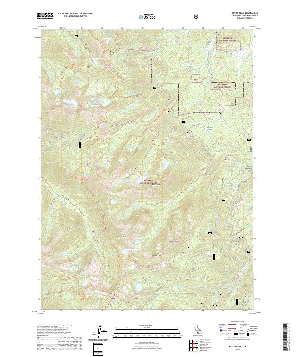 2022 Eaton Peak2022 Print · USGSHigh in the Siskiyou mountains during the early twenty-first century, this landscape remains a dense network of alpine lakes and wilderness trails. Hikers and researchers can trace the Pacific Crest National Scenic Trl past Russian Peak and the settlement at Foster.
End of results
Showing maps 1-17 of 17
Top cities near Foster
Frequently asked questions
- What are the different types of historical maps available for Foster?
- What is the oldest map of Foster?
- Where can I purchase historical maps of Foster for my home or office?
- Where can I download high-res historical maps of Foster?
- Are there historical topographic maps available for Foster?
- Is there historical aerial imagery available for Foster?
- Where are historical maps of Foster sourced from?