2000s (21st Century) Maps of Sawyers Bar, California
Explore 5 historic maps of Sawyers Bar from the 2000s (21st Century). These maps offer a rare glimpse into what life looked like during the 2000s — showing old roads, neighborhoods, homes, and landmarks that have changed or disappeared over time.
Whether you're researching your family's past, planning a metal detecting trip, or studying how Sawyers Bar's landscape evolved across the 2000s, these high-resolution maps are a powerful tool for exploring the history of this region.
- Focus on a specific era: All maps on this page are from the 2000s, giving you a focused view of this time period.
- See what’s changed: Compare century-old streets, trails, and buildings to today's modern landscape using overlays and satellite layers.
- Research with precision: Use these maps for genealogy, historical research, land use analysis, or educational projects.
- View, download, or print: Maps are fully viewable online in high resolution, and can be downloaded or printed for your own records.
Start exploring Sawyers Bar's history through authentic maps from the 2000s. This is your window into the past.
Sawyers Bar, CA maps
(5)- 2001 Map of Sawyers Bar, 2004 Print
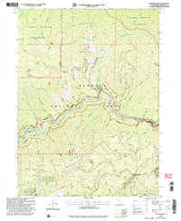 2001 Sawyers Bar2004 Print · USGSSawyers Bar and the surrounding Klamath Mountains are documented here at the turn of the millennium, showing a landscape shaped by gold mining and remote ranching. Researchers can trace historic extraction sites like the Black Bear Mine, the Bestville (Site), and the local Cem.
 - 2012 Map of Sawyers Bar, 2012 Print
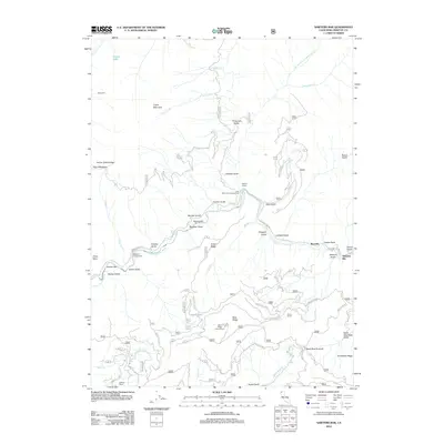 2012 Sawyers Bar2012 Print · USGSCovers Sawyers Bar, including Siskiyou County, United States, and other nearby areas
 - 2015 Map of Sawyers Bar, 2015 Print
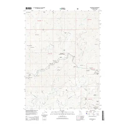 2015 Sawyers Bar2015 Print · USGSCovers Sawyers Bar, including Siskiyou County, United States, and other nearby areas
 - 2018 Map of Sawyers Bar, 2018 Print
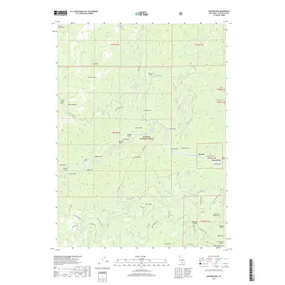 2018 Sawyers Bar2018 Print · USGSCovers Sawyers Bar, including Siskiyou County, United States, and other nearby areas
 - 2022 Map of Sawyers Bar, 2022 Print
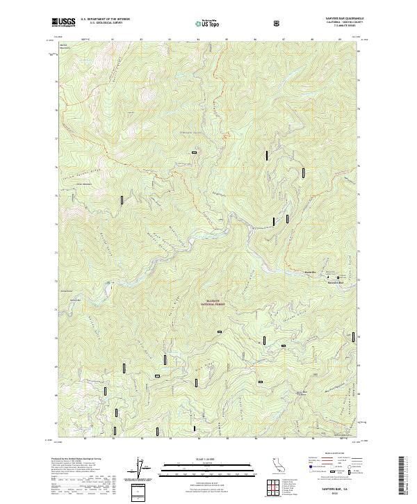 2022 Sawyers Bar2022 Print · USGSSiskiyou County's high country along the North Fork Salmon River comes to life in this contemporary study. Trace the historic community at Sawyers Bar, locate the Sawyers Bar Catholic Cem, and explore the ridge trails near Black Bear Summit.
End of results
Showing maps 1-5 of 5
Top cities near Sawyers Bar
Frequently asked questions
- What are the different types of historical maps available for Sawyers Bar?
- What is the oldest map of Sawyers Bar?
- Where can I purchase historical maps of Sawyers Bar for my home or office?
- Where can I download high-res historical maps of Sawyers Bar?
- Are there historical topographic maps available for Sawyers Bar?
- Is there historical aerial imagery available for Sawyers Bar?
- Where are historical maps of Sawyers Bar sourced from?