Old Maps of Scott Bar, California for Genealogy
Trace your family roots with 14 historic maps of Scott Bar. These high-res maps reveal old neighborhoods, homesites, landmarks, and streets — helping you uncover where your ancestors lived and how the area evolved over time.
- Explore historic neighborhoods: Identify where your relatives may have lived in the 1800s or 1900s.
- Compare maps over time: Trace the changes in streets, buildings, and landmarks for multi-generational research.
- Perfect for genealogy & ancestry research: Used by family historians and researchers to map out lineage and migration.
These maps are an incredible resource for exploring your personal connection to Scott Bar's past.
Scott Bar, CA maps
(14)- 1914 Map of Seiad, 1957 Print
 1914 Seiad1957 Print · USGSSiskiyou County's rugged borderlands are documented here just before the First World War, showing a landscape of remote mines and river settlements. Genealogists and historians can trace family outposts like Johnsons Dairy, old schoolhouses, and active mining works such as the Blue Ledge Mine.
 - 1922 Map of Seiad
 1922 Seiad1922 Print · USGSSiskiyou County's rugged mining and timber country is captured here during the early twentieth century. Researchers can trace historic river crossings like Gordons Ferry, remote schools such as Nolton School, and active gold operations including the Siskiyou Mine.4 unique versions available
 - 1948 Map of Weed, 1950 Print
 1948 Weed1950 Print · USGSNorthern California and Southern Oregon are captured here during the post-war era, documenting the mountain-and-valley economies of the Klamath and Cascade ranges. Trace the legacy of local mining and timber at the King Solomon Mine, find old schools like Siskiyou County School, and follow the historic Southern Pacific RR route.2 unique versions available
 - 1950 Map of Weed
 1950 Weed1950 Print · USGSSiskiyou County and the surrounding Klamath mountains appear in the mid-century before extensive modern development. Genealogists and local historians can locate remote outposts like the Lee Brown Ranch and the specialized settlement of Darlingtonia.
 - 1955 Map of Scott Bar, 1957 Print
 1955 Scott Bar1957 Print · USGSSiskiyou County's high-country terrain is captured in the mid-fifties, centered on the river community of Scott Bar. Researchers can trace the era's backcountry network through Kelsey Creek Guard Station, the mining site at Gold Flat, and the Marble Valley Guard Sta.3 unique versions available
 - 1958 Map of Weed, 1963 Print
 1958 Weed1963 Print · USGSThe Northern California high country of the late fifties is defined by the towering presence of Mt Shasta and the logging railroads of the Siskiyou range. Genealogists and researchers can trace remote mining sites like the China Mine and mountain settlements such as Sawyers Bar and Seiad Valley.3 unique versions available
 - 1963 Map of Weed
 1963 Weed1963 Print · USGSNorthern California during the early 1960s shows a landscape of steep mountain ranges and river-fed valleys at the height of the timber era. Researchers can trace the routes of the McCloud River RR, locate remote sites like the Holiday Mine, or find ancestral markers at the Scott Valley Cem.
 - 1980 Map of Scott Bar
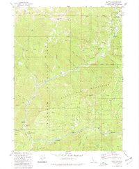 1980 Scott Bar1980 Print · USGSThe Scott River corridor in northern Siskiyou County is shown here in the 1980s, documenting a landscape of mountain forestry and riverside recreation. Genealogists and historians can trace local landmarks like Scott Bar, a riverside Grave, and numerous backcountry sites from Gold Flat to Beauty Flat.
 - 1983 Map of Happy Camp, 1984 Print
 1983 Happy Camp1984 Print · USGSThe Northern California borderlands and the Klamath River corridor are documented here in the early eighties as a hub of mining and forestry. Researchers can trace historical extraction at the High Plateau Mine and Independence Mine or locate the remote riverside community of Scott Bar.
 - 2001 Map of Scott Bar, 2004 Print
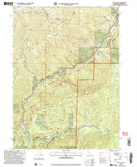 2001 Scott Bar2004 Print · USGSSiskiyou County's canyon country comes into focus at the start of the twenty-first century where the Scott and Klamath Rivers meet. Researchers can locate the Scott Bar settlement, trace the Klamath Wild and Scenic River, and find landmarks like the Scott River Holding Corral or the Historical Marker.
 - 2012 Map of Scott Bar, 2012 Print
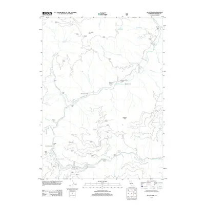 2012 Scott Bar2012 Print · USGSSiskiyou County's river-cut terrain is captured here in the early twenty-first century, centered on the historic Scott Bar community. Researchers can trace land use through the Scott Bar Lookout, the Scott River Holding Corral, and Gold Flat.
 - 2015 Map of Scott Bar, 2015 Print
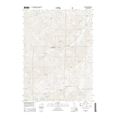 2015 Scott Bar2015 Print · USGSSiskiyou County's high country is captured here in the mid-2010s, centered on the historic river community of Scott Bar. Researchers can trace the steep geography of the Klamath Mountains through landmarks like Gold Flat and the Scott Bar Mtn Lo.
 - 2018 Map of Scott Bar, 2018 Print
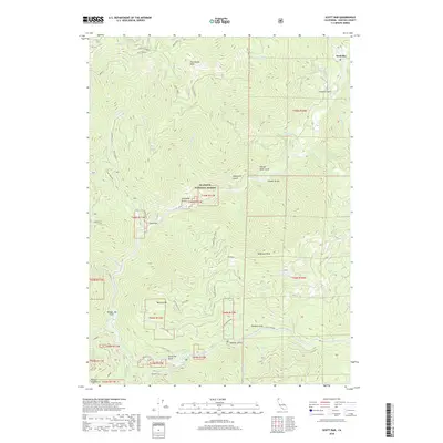 2018 Scott Bar2018 Print · USGSSiskiyou County's river-cut canyons are documented here in the 2010s, showing the remote settlement of Scott Bar along the Scott River. Researchers can trace the locations of historic mining-era sites like Gold Flat, Townsend Gulch, and Beauty Flat.
 - 2022 Map of Scott Bar, 2022 Print
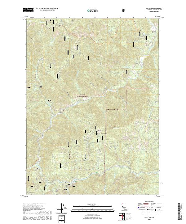 2022 Scott Bar2022 Print · USGSThe northern Klamath wilderness comes into focus in the 2020s as the river winds through steep canyon country. Genealogists and hikers can trace the Scott Bar Cem and remote riverside flats such as Gold Flat and Beauty Flat.
End of results
Showing maps 1-14 of 14
Top cities near Scott Bar
Frequently asked questions
- What are the different types of historical maps available for Scott Bar?
- What is the oldest map of Scott Bar?
- Where can I purchase historical maps of Scott Bar for my home or office?
- Where can I download high-res historical maps of Scott Bar?
- Are there historical topographic maps available for Scott Bar?
- Is there historical aerial imagery available for Scott Bar?
- Where are historical maps of Scott Bar sourced from?