2000s (21st Century) Maps of Vallejo, California
Explore 24 historic maps of Vallejo from the 2000s (21st Century). These maps offer a rare glimpse into what life looked like during the 2000s — showing old roads, neighborhoods, homes, and landmarks that have changed or disappeared over time.
Whether you're researching your family's past, planning a metal detecting trip, or studying how Vallejo's landscape evolved across the 2000s, these high-resolution maps are a powerful tool for exploring the history of this region.
- Focus on a specific era: All maps on this page are from the 2000s, giving you a focused view of this time period.
- See what’s changed: Compare century-old streets, trails, and buildings to today's modern landscape using overlays and satellite layers.
- Research with precision: Use these maps for genealogy, historical research, land use analysis, or educational projects.
- View, download, or print: Maps are fully viewable online in high resolution, and can be downloaded or printed for your own records.
Start exploring Vallejo's history through authentic maps from the 2000s. This is your window into the past.
Vallejo, CA maps
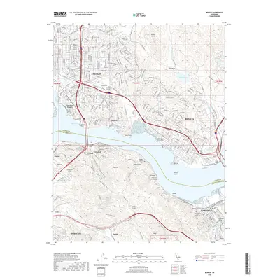
(24)- 2012 Map of Sears Point, 2012 Print
 2012 Sears Point2012 Print · USGSCovers Vallejo, including Wingo, Big Bend, and other nearby areas
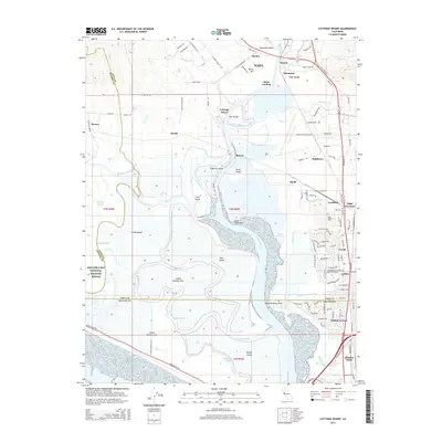
 - 2012 Map of Cuttings Wharf, 2012 Print
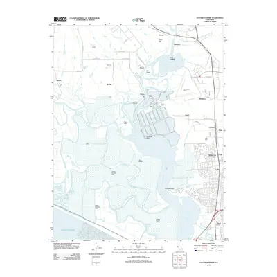 2012 Cuttings Wharf2012 Print · USGSCovers Vallejo, including Napa, American Canyon, and other nearby areas
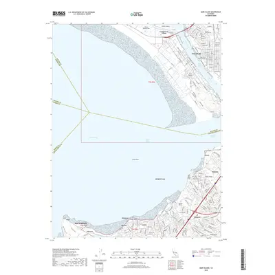
 - 2012 Map of Mare Island, 2012 Print
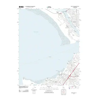 2012 Mare Island2012 Print · USGSCovers Vallejo, including Richmond, Hercules, and other nearby areas
 - 2012 Map of Cordelia, 2012 Print
 2012 Cordelia2012 Print · USGSCovers Vallejo, including Fairfield, American Canyon, and other nearby areas
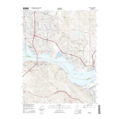
 - 2012 Map of Benicia, 2012 Print
 2012 Benicia2012 Print · USGSCovers Vallejo, including Martinez, Benicia, and other nearby areas
 - 2012 Map of Petaluma Point, 2012 Print
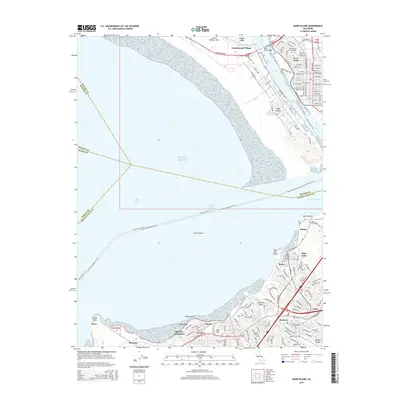
 2012 Petaluma Point2012 Print · USGSCovers Vallejo, including Richmond, San Rafael, and other nearby areas
 - 2015 Map of Petaluma Point, 2015 Print
 2015 Petaluma Point2015 Print · USGSCovers Vallejo, including Richmond, San Rafael, and other nearby areas
 - 2015 Map of Sears Point, 2015 Print
 2015 Sears Point2015 Print · USGSCovers Vallejo, including Wingo, Big Bend, and other nearby areas
 - 2015 Map of Cordelia, 2015 Print
 2015 Cordelia2015 Print · USGSCovers Vallejo, including Fairfield, American Canyon, and other nearby areas
 - 2015 Map of Mare Island, 2015 Print
 2015 Mare Island2015 Print · USGSCovers Vallejo, including Richmond, Hercules, and other nearby areas
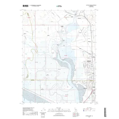
 - 2015 Map of Cuttings Wharf, 2015 Print
 2015 Cuttings Wharf2015 Print · USGSCovers Vallejo, including Napa, American Canyon, and other nearby areas
 - 2015 Map of Benicia, 2015 Print
 2015 Benicia2015 Print · USGSCovers Vallejo, including Martinez, Benicia, and other nearby areas
 - 2018 Map of Mare Island, 2018 Print
 2018 Mare Island2018 Print · USGSCovers Vallejo, including Richmond, Hercules, and other nearby areas
 - 2018 Map of Cordelia, 2018 Print
 2018 Cordelia2018 Print · USGSCovers Vallejo, including Fairfield, American Canyon, and other nearby areas
 - 2018 Map of Sears Point, 2018 Print
 2018 Sears Point2018 Print · USGSCovers Vallejo, including Wingo, Big Bend, and other nearby areas
 - 2018 Map of Cuttings Wharf, 2018 Print
 2018 Cuttings Wharf2018 Print · USGSCovers Vallejo, including Napa, American Canyon, and other nearby areas
 - 2018 Map of Benicia, 2018 Print
 2018 Benicia2018 Print · USGSCovers Vallejo, including Martinez, Benicia, and other nearby areas
 - 2018 Map of Petaluma Point, 2018 Print
 2018 Petaluma Point2018 Print · USGSCovers Vallejo, including Richmond, San Rafael, and other nearby areas
 - 2021 Map of Sears Point, 2021 Print
 2021 Sears Point2021 Print · USGSThe Sonoma marshlands and San Pablo Bay shoreline come to life in this detailed recent survey. Genealogists and local historians can trace the foundations of Schellville, the remote outpost of Wingo, and the sprawling reaches of Skaggs Island.
 - 2021 Map of Benicia, 2021 Print
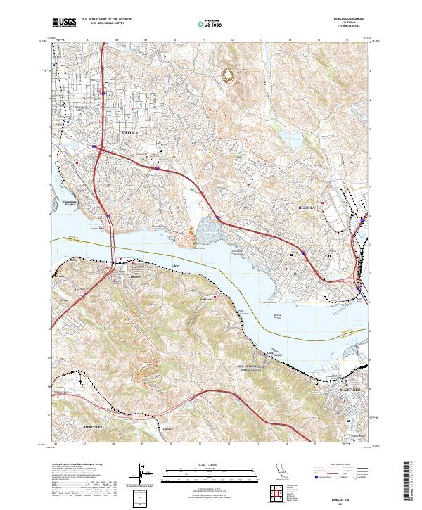 2021 Benicia2021 Print · USGSThe Carquinez Strait corridor comes alive in this modern survey of the historic maritime and industrial heart of Solano County. Researchers can trace institutional landmarks like the California Maritime Academy and numerous local burial sites such as the Benicia City Cem or Alhambra Cem.
 - 2021 Map of Mare Island, 2021 Print
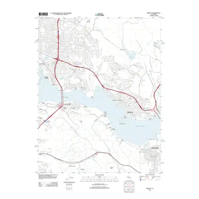
 2021 Mare Island2021 Print · USGSThe northern reaches of San Francisco Bay appear in high detail during the early 2020s, showing the dense urban and industrial development of the East Bay. Trace local history through the streets of Vallejo, the naval heritage of Mare Island, and family markers at Hillside Cem.
 - 2021 Map of Cuttings Wharf, 2021 Print
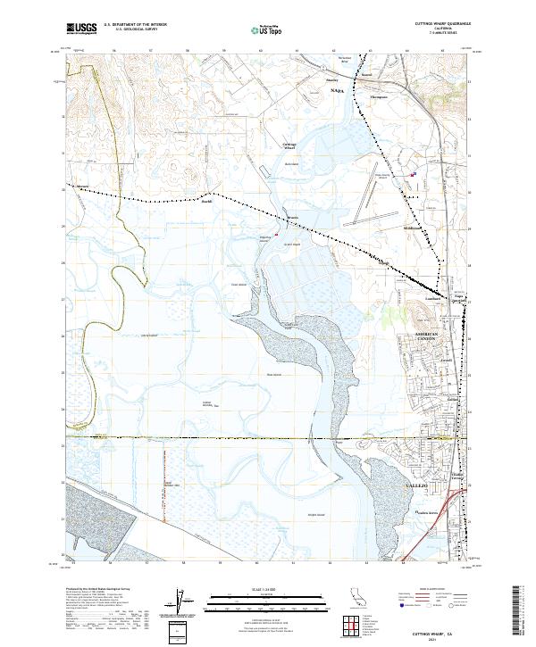 2021 Cuttings Wharf2021 Print · USGSThe marshes and tidal channels of the southern Napa Valley meet the growing industrial corridor of American Canyon. Trace the waterways of Napa River past Bull Island or find the early settlements at Cuttings Wharf and Buchli.
 - 2022 Map of Cordelia, 2022 Print
 2022 Cordelia2022 Print · USGSThe foothills of the Howell Mountains meet the expanding north bay communities in the early 2020s. Genealogists and historians can trace the development of Vallejo neighborhoods and find old landmarks like Elkhorn Peak, Cordelia, and the Terminal Reservoir.
 - 2022 Map of Petaluma Point, 2022 Print
 2022 Petaluma Point2022 Print · USGSSan Pablo Bay and the Marin coastline are captured here in the early 2020s, showing the meeting of four major North Bay counties. Researchers can trace the unique shoreline topography of China Camp Point, the marshes of Tubbs Island, and hills like Turtle Back.
End of results
Showing maps 1-24 of 24
Top cities near Vallejo
- San Francisco historical maps
- Concord historical maps
- Berkeley historical maps
- Fairfield historical maps
- Richmond historical maps
- Napa historical maps
See more
Top neighborhoods of Vallejo
- Carquinez Heights historical maps
- South Vallejo historical maps
- Guadalcanal Village historical maps
- Chabot Terrace historical maps
- Harry Floyd Terrace historical maps
- Flosden Acres historical maps
See more
Frequently asked questions
- What are the different types of historical maps available for Vallejo?
- What is the oldest map of Vallejo?
- Where can I purchase historical maps of Vallejo for my home or office?
- Where can I download high-res historical maps of Vallejo?
- Are there historical topographic maps available for Vallejo?
- Is there historical aerial imagery available for Vallejo?
- Where are historical maps of Vallejo sourced from?