2000s (21st Century) Maps of Petaluma, California
Explore 16 historic maps of Petaluma from the 2000s (21st Century). These maps offer a rare glimpse into what life looked like during the 2000s — showing old roads, neighborhoods, homes, and landmarks that have changed or disappeared over time.
Whether you're researching your family's past, planning a metal detecting trip, or studying how Petaluma's landscape evolved across the 2000s, these high-resolution maps are a powerful tool for exploring the history of this region.
- Focus on a specific era: All maps on this page are from the 2000s, giving you a focused view of this time period.
- See what’s changed: Compare century-old streets, trails, and buildings to today's modern landscape using overlays and satellite layers.
- Research with precision: Use these maps for genealogy, historical research, land use analysis, or educational projects.
- View, download, or print: Maps are fully viewable online in high resolution, and can be downloaded or printed for your own records.
Start exploring Petaluma's history through authentic maps from the 2000s. This is your window into the past.
Petaluma, CA maps
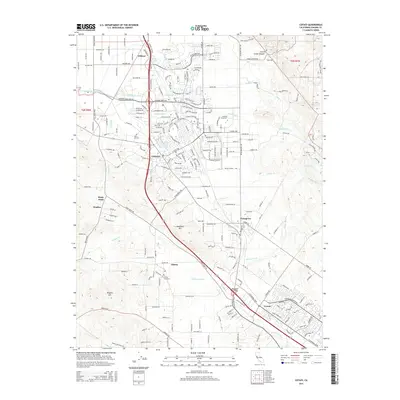
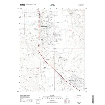
(16)- 2012 Map of Petaluma, 2012 Print
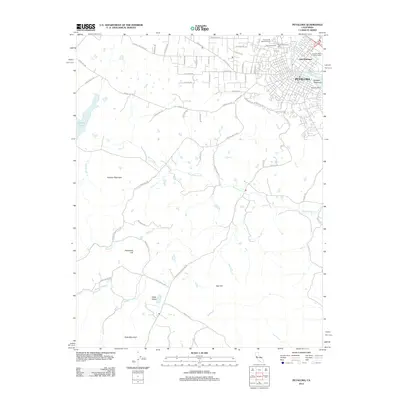 2012 Petaluma2012 Print · USGSCovers Petaluma, including Sonoma County, Marin County, and other nearby areas
 - 2012 Map of Petaluma River, 2012 Print
 2012 Petaluma River2012 Print · USGSCovers Petaluma, including Novato, Lakeville, and other nearby areas
 - 2012 Map of Cotati, 2012 Print
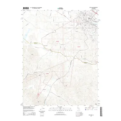
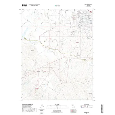
 2012 Cotati2012 Print · USGSCovers Petaluma, including Rohnert Park, Cotati, and other nearby areas
 - 2012 Map of Glen Ellen, 2012 Print
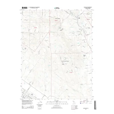
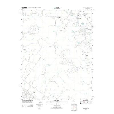 2012 Glen Ellen2012 Print · USGSCovers Petaluma, including Sonoma Vista, Diamond A Ranch Estates, and other nearby areas
 - 2015 Map of Petaluma, 2015 Print
 2015 Petaluma2015 Print · USGSCovers Petaluma, including Sonoma County, Marin County, and other nearby areas
 - 2015 Map of Petaluma River, 2015 Print
 2015 Petaluma River2015 Print · USGSCovers Petaluma, including Novato, Lakeville, and other nearby areas
 - 2015 Map of Glen Ellen, 2015 Print
 2015 Glen Ellen2015 Print · USGSCovers Petaluma, including Sonoma Vista, Diamond A Ranch Estates, and other nearby areas
 - 2015 Map of Cotati, 2015 Print
 2015 Cotati2015 Print · USGSCovers Petaluma, including Rohnert Park, Cotati, and other nearby areas
 - 2018 Map of Cotati, 2018 Print
 2018 Cotati2018 Print · USGSCovers Petaluma, including Rohnert Park, Cotati, and other nearby areas
 - 2018 Map of Petaluma River, 2018 Print
 2018 Petaluma River2018 Print · USGSCovers Petaluma, including Novato, Lakeville, and other nearby areas
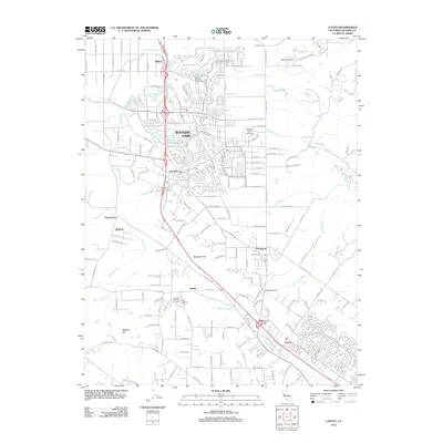
 - 2018 Map of Petaluma, 2018 Print
 2018 Petaluma2018 Print · USGSCovers Petaluma, including Sonoma County, Marin County, and other nearby areas
 - 2018 Map of Glen Ellen, 2018 Print
 2018 Glen Ellen2018 Print · USGSCovers Petaluma, including Sonoma Vista, Diamond A Ranch Estates, and other nearby areas
 - 2021 Map of Petaluma River, 2021 Print
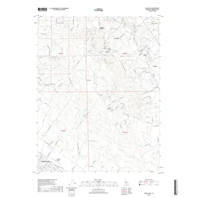
 2021 Petaluma River2021 Print · USGSThe Petaluma River valley and its intricate marshlands are captured in this recent survey of the North Bay. Researchers can trace the boundaries of SONOMA CO and MARIN CO while locating landmarks like Gnoss Field, Burdell Mtn, and the riverfront at Lakeville.
 - 2021 Map of Glen Ellen, 2021 Print
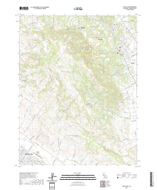 2021 Glen Ellen2021 Print · USGSThe Valley of the Moon region in the 2020s shows a landscape of rugged mountain ridges and expanding valley settlements. Local researchers can trace family lands near Glen Ellen, locate the Eldridge Cem, or study the watersheds of Adobe Cr and Sonoma Cr.
 - 2021 Map of Petaluma, 2021 Print
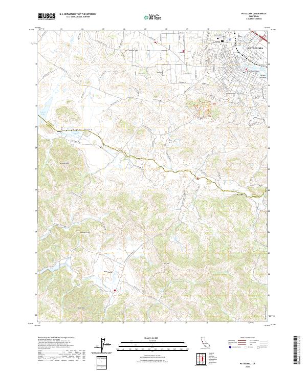 2021 Petaluma2021 Print · USGSThe city of Petaluma meets the rural valleys of Sonoma and Marin counties in this recent study. Researchers can trace urban growth near the Petaluma River or locate family plots at Bnai Israel Cem and Cypress Hill Memorial Park.
 - 2021 Map of Cotati, 2021 Print
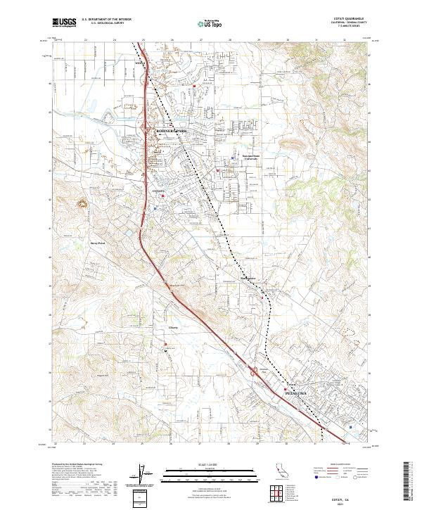 2021 Cotati2021 Print · USGSSonoma County at the start of the 2020s shows a landscape of vibrant university campuses and suburban growth. Genealogists and local historians can trace landmarks like Liberty Cem, Penngrove, and the headwaters of the Petaluma River.
End of results
Showing maps 1-16 of 16
Top cities near Petaluma
- Santa Rosa historical maps
- Richmond historical maps
- San Rafael historical maps
- Novato historical maps
- Rohnert Park historical maps
- Sonoma historical maps
See more
Top neighborhoods of Petaluma
Frequently asked questions
- What are the different types of historical maps available for Petaluma?
- What is the oldest map of Petaluma?
- Where can I purchase historical maps of Petaluma for my home or office?
- Where can I download high-res historical maps of Petaluma?
- Are there historical topographic maps available for Petaluma?
- Is there historical aerial imagery available for Petaluma?
- Where are historical maps of Petaluma sourced from?