Old Maps of East Petaluma, Petaluma for Genealogy
Trace your family roots with 15 historic maps of East Petaluma. These high-res maps reveal old neighborhoods, homesites, landmarks, and streets — helping you uncover where your ancestors lived and how the area evolved over time.
- Explore historic neighborhoods: Identify where your relatives may have lived in the 1800s or 1900s.
- Compare maps over time: Trace the changes in streets, buildings, and landmarks for multi-generational research.
- Perfect for genealogy & ancestry research: Used by family historians and researchers to map out lineage and migration.
These maps are an incredible resource for exploring your personal connection to East Petaluma's past.
East Petaluma, Petaluma maps
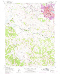
(15)- 1914 Map of Petaluma
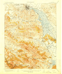 1914 Petaluma1914 Print · USGSThe North Bay region near the turn of the century shows a landscape of tidal marshes and rising ridges connected by the Northwestern Pacific. Genealogists and historians can trace old family ranch sites like Freitas Ranch and numerous rural schoolhouses including Iowa School and Burdell School.5 unique versions available
 - 1942 Map of Petaluma
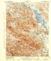 1942 Petaluma1942 Print · USGSThe Marin and Sonoma county line runs through this early 1940s landscape of tidal marshes and ranch lands. Genealogists can trace family names at Mt Oliver Cemetery or find historic rural institutions like the Olompali School and St Vincent Station.
 - 1947 Map of Santa Rosa
 1947 Santa Rosa1947 Print · USGSNorthern California in the late 1940s was a landscape of agricultural valleys and vital rail hubs. Trace the historic routes of the Northwestern Pacific through Healdsburg or explore the mid-century waterfronts of Vallejo and Benicia near Mare Island.
 - 1949 Map of Santa Rosa
 1949 Santa Rosa1949 Print · USGSThe North Bay and Wine Country appear here in the late 1940s, when the Northwestern Pacific RR still dominated regional transit. Genealogists and historians can trace old coastal outposts like Anchor Bay Settlement and the early layout of Santa Rosa.2 unique versions available
 - 1953 Map of Petaluma, 1955 Print
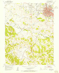 1953 Petaluma1955 Print · USGSPetaluma and the surrounding Sonoma and Marin county borderlands are shown here in the early fifties, caught between their agricultural roots and modern growth. Genealogists and historians can trace numerous rural schoolhouses like Iowa School and Union Sch or the path of the Northwestern Pacific railroad.3 unique versions available
 - 1954 Map of Petaluma, 1959 Print
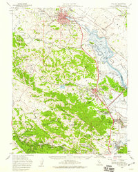 1954 Petaluma1959 Print · USGSCoastal mountains and river sloughs define the Marin and Sonoma borderlands in the mid-1950s, a period of military expansion and rural transition. Genealogists and historians can trace family-named schools like Iowa School or Wilson Sch and the extensive infrastructure of Hamilton Air Force Base.3 unique versions available
 - 1954 Map of Petaluma, 1969 Print
 1954 Petaluma1969 Print · USGSPetaluma and its surrounding ranch lands are shown in the mid-twentieth century as the urban area begins to expand along the Petaluma River. Researchers can trace old property lines and rural schoolhouses like Union Sch and the Northwestern Pacific rail line.
 - 1958 Map of Santa Rosa, 1968 Print
 1958 Santa Rosa1968 Print · USGSThe North Bay and Wine Country are captured in the mid-twentieth century as the region balanced its agricultural roots with a growing military and recreational footprint. Researchers can trace the Northwestern Pacific RR through the Russian River valley or locate landmarks like the Petaluma Adobe Historical Monument and The Geysers Resort.3 unique versions available
 - 1962 Map of Santa Rosa
 1962 Santa Rosa1962 Print · USGSThe North Bay and Wine Country were entering a period of significant growth in the early sixties, anchored by established rail corridors and coastal maritime commerce. Genealogists and historians can trace the development of Santa Rosa, locate the Mare Island Naval Shipyard, and follow the Northwestern Pacific RR through the Cotati Valley.
 - 1964 Map of Santa Rosa
 1964 Santa Rosa1964 Print · USGSThe North Bay and Wine Country appear in the mid-fifties during a period of significant military and educational growth. Trace old rail lines like the Northwestern Pacific RR and explore historic sites from Petaluma to the Benicia Arsenal.
 - 1983 Map of Napa
 1983 Napa1983 Print · USGSThe North Bay and wine country are captured in the early eighties as suburban growth began to surround traditional agricultural centers. Researchers can trace the rail corridors of the Northwestern Pacific Railroad, the grounds of Mare Island Naval Shipyard, and the reach of the San Andreas Rift Zone.
 - 2012 Map of Petaluma, 2012 Print
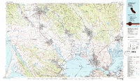
 2012 Petaluma2012 Print · USGSCovers East Petaluma, including Petaluma, Sonoma County, and other nearby areas
 - 2015 Map of Petaluma, 2015 Print
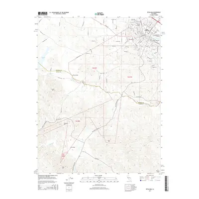 2015 Petaluma2015 Print · USGSCovers East Petaluma, including Petaluma, Sonoma County, and other nearby areas
 - 2018 Map of Petaluma, 2018 Print
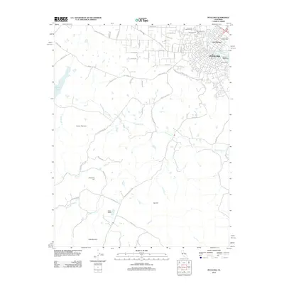
 2018 Petaluma2018 Print · USGSCovers East Petaluma, including Petaluma, Sonoma County, and other nearby areas
 - 2021 Map of Petaluma, 2021 Print
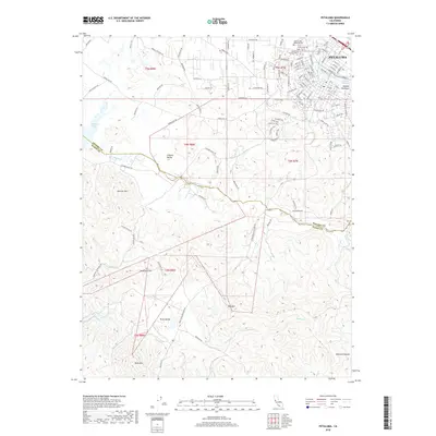
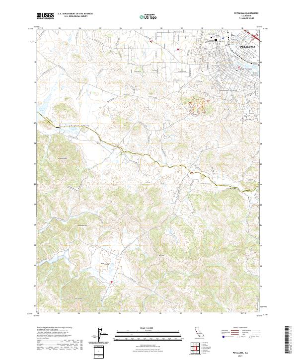 2021 Petaluma2021 Print · USGSThe city of Petaluma meets the rural valleys of Sonoma and Marin counties in this recent study. Researchers can trace urban growth near the Petaluma River or locate family plots at Bnai Israel Cem and Cypress Hill Memorial Park.
End of results
Showing maps 1-15 of 15
Frequently asked questions
- What are the different types of historical maps available for East Petaluma?
- What is the oldest map of East Petaluma?
- Where can I purchase historical maps of East Petaluma for my home or office?
- Where can I download high-res historical maps of East Petaluma?
- Are there historical topographic maps available for East Petaluma?
- Is there historical aerial imagery available for East Petaluma?
- Where are historical maps of East Petaluma sourced from?