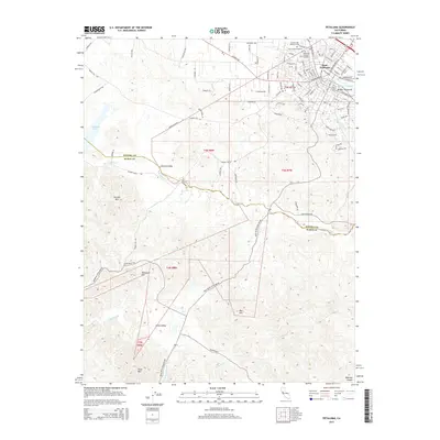
2015 Map of Petaluma
USGS Topo · Published 2015About this map
The Petaluma River and its intricate McNear Channel define the eastern urban edge of Petaluma, where the city transitions into the fertile dairy lands and valleys of the Sonoma-Marin border. This 2015 record documents the convergence of historical cemetery sites such as Cypress Hill Memorial Park, Bnai Israel Cemetery, and Petaluma Calvary Cemetery north of the downtown core. The landscape quickly shifts from the gridded streets of East Petaluma to the rolling terrain of the Chileno Valley and Hicks Valley, areas defined by long-standing agricultural tracts and rural routes like Burns Dairy Rd and Spring Hill Rd.
Find a feature on this map
108 named features on this map. Tap any name to fly to it.
Don’t see what you’re looking for? This feature index may not catch every label — zoom into the map to look around manually.
Map Details
Editions of this 2015 Petaluma Map
This is the sole edition of this map. No revisions or reprints were ever made.
Other maps of this area

1914 · Petaluma
USGS Topo · 1:62,500

1916 · Santa Rosa
USGS Topo · 1:62,500

1916 · Point Reyes
USGS Topo · 1:48,000

1918 · Point Reyes
USGS Topo · 1:62,500

1935 · Sebastopol
USGS Topo · 1:48,000

1942 · Sebastopol
USGS Topo · 1:62,500

1942 · Petaluma
USGS Topo · 1:62,500

1944 · Santa Rosa
USGS Topo · 1:62,500

1947 · Santa Rosa
USGS Topo · 1:250,000

1949 · Santa Rosa
USGS Topo · 1:250,000