Old Maps of Ueland Place, California for Metal Detecting
Plan your next treasure hunt with 12 historic maps of Ueland Place. Find old homesites, ghost towns, trails, and gathering spots that may be lost to time — perfect for identifying promising metal detecting locations.
- Locate forgotten sites: Uncover places like long-lost settlements, abandoned rail lines, or gathering spots.
- Plan better hunts: Use map overlays combined with LiDAR or satellite views to narrow in on historically rich areas.
- Made for detectorists: Thousands of hobbyists use these maps to discover relics, coins, and hidden history.
Use these historic maps to boost your research and find new opportunities beneath the surface of Ueland Place.
Ueland Place, CA maps
(12)- 1918 Map of Anada, 1931 Print
 1918 Anada1931 Print · USGSTrinity County in the early twentieth century was a rugged frontier of forest management and river headwaters. Map collectors and genealogists can trace early landmarks like Ruth, the Mad River R.S., and the high elevations of South Fork Mountain.
 - 1931 Map of Hoaglin
 1931 Hoaglin1931 Print · USGSThe Trinity and Van Duzen river systems define this high country during the early 1930s, when remote ranches and forest stations provided the primary human footprint. Researchers can trace family-named sites like Haine Ranch and Blossom Cabin, or locate the isolated Lake Mtn Sch.
 - 1935 Map of Hoaglin
 1935 Hoaglin1935 Print · USGSTrinity and Mendocino counties are captured here in the mid-1930s, documenting a landscape of isolated valleys and mountain ranches. Researchers can trace family homesteads like Russ Place and Shannon Place or locate early schools including Cover Sch and Lake Mtn Sch.3 unique versions available
 - 1954 Map of Pickett Peak, 1956 Print
 1954 Pickett Peak1956 Print · USGSTrinity County in the mid-fifties was a land of isolated ranches and timber works defined by the South Fork Trinity River. Genealogists and historians can locate family landmarks like Feldmiller Ranch, the Gilman Cem, and the Valley Hettenshaw School.3 unique versions available
 - 1958 Map of Redding
 1958 Redding1958 Print · USGSNorthern California's valley and mountain landscapes are captured in the late fifties, showing the region as new reservoirs reshaped the river systems. Genealogists and historians can trace rail-side towns like Cottonwood, the military presence at Red Bluff Air Force Station, and mountain outposts like Weaverville.5 unique versions available
 - 1978 Map of Ruth Reservoir
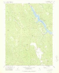 1978 Ruth Reservoir1978 Print · USGSTrinity County in the late seventies is marked by the waters of Ruth Reservoir and the high ridges of the national forests. Researchers can trace family-named sites like Old Willburn Ranch, Ueland Place (Site), and the remote Old Womans Home.3 unique versions available
 - 1979 Map of Garberville, 1996 Print
 1979 Garberville1996 Print · USGSThe redwood forests and river canyons of Humboldt and Trinity counties are shown here in the late seventies. Genealogists and historians can trace rail-side life along the Northwestern Pacific RR or locate small settlements like Fort Seward, Alderpoint, and Zenia.
 - 1997 Map of Ruth Lake, 2001 Print
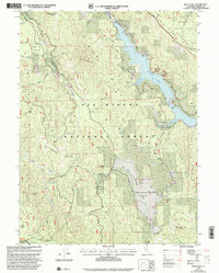 1997 Ruth Lake2001 Print · USGSTrinity County in the late nineties is defined here by the forest management and reservoir development of the Six Rivers and Trinity National Forests. Researchers can trace land use through sites like the Old Wilburn Ranch, Ueland Place, and the Robert W Matthews Dam.
 - 2012 Map of Ruth Lake, 2012 Print
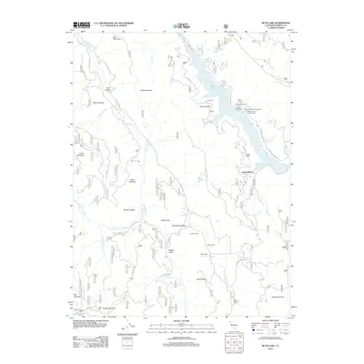 2012 Ruth Lake2012 Print · USGSTrinity County ranching and river geography are preserved in this early twenty-first-century survey of the Mad River country. Genealogists and local historians can trace legacy holdings at Ueland Place or Stapp Ranch and locate remote landmarks like Hetten Rock.
 - 2015 Map of Ruth Lake, 2015 Print
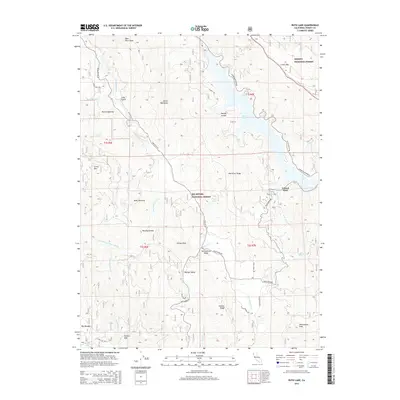 2015 Ruth Lake2015 Print · USGSTrinity County’s forested interior is captured here in the early twenty-first century, centered on the waters of Ruth Lake. Researchers can trace old homesteads and clearings like Ueland Place, Boles Opening, and the remote Hettenshaw Valley.
 - 2018 Map of Ruth Lake, 2018 Print
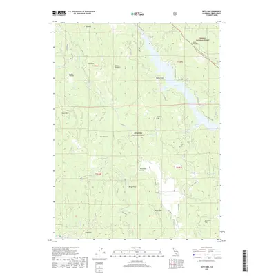 2018 Ruth Lake2018 Print · USGSIn the forested highlands of Trinity County, this recent survey captures the remote intersection of the Mad River and Van Duzen River watersheds. Researchers can locate named openings and peaks like Hettenshaw Valley, Grizzly Mtn, and the shores of Ruth Lake.
 - 2021 Map of Ruth Lake, 2021 Print
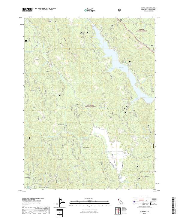 2021 Ruth Lake2021 Print · USGSTrinity County's high country is defined here by the waters of the Mad River and the isolated meadows of the national forests. Researchers can trace the geography of old mountain openings and glades like Rainey Glades, Murphy Glades, and Rutled Opening.
End of results
Showing maps 1-12 of 12
Top cities near Ueland Place
Frequently asked questions
- What are the different types of historical maps available for Ueland Place?
- What is the oldest map of Ueland Place?
- Where can I purchase historical maps of Ueland Place for my home or office?
- Where can I download high-res historical maps of Ueland Place?
- Are there historical topographic maps available for Ueland Place?
- Is there historical aerial imagery available for Ueland Place?
- Where are historical maps of Ueland Place sourced from?